Storm Chase Details
Miles Logged: 421
States Chased: OK
Tornadoes Witnessed: 1
Largest Hail Encountered: 4.00 in.
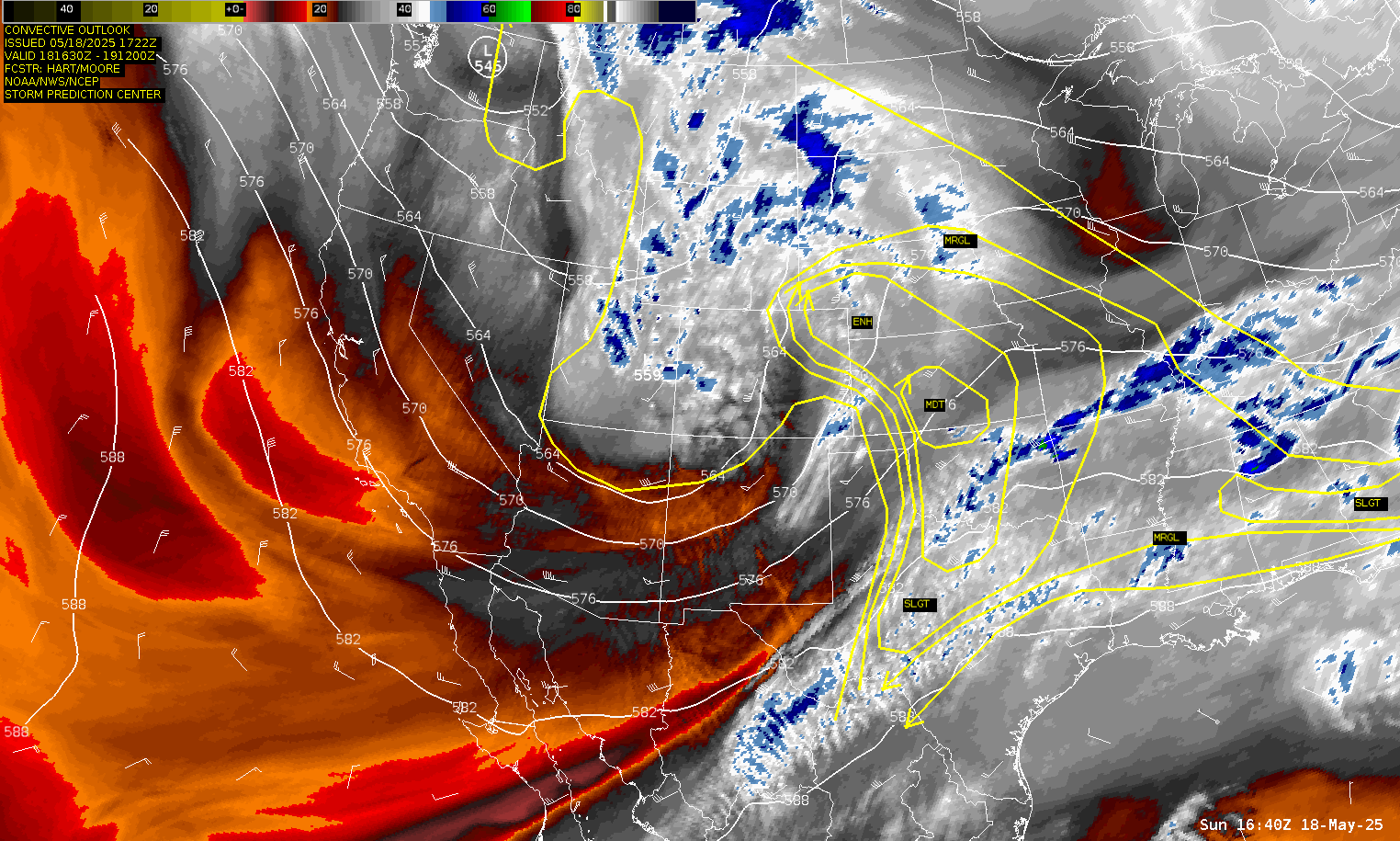
Severe Risks: SPC Outlooks
Severe Reports: Storm Reports
May 18 would be a frustrating chase day for me, from missing most of the tornadoes to sitting in a traffic jam near Arnett. Watching other chasers posting absolutely amazing footage and photos while I missed it all but the last tornado.
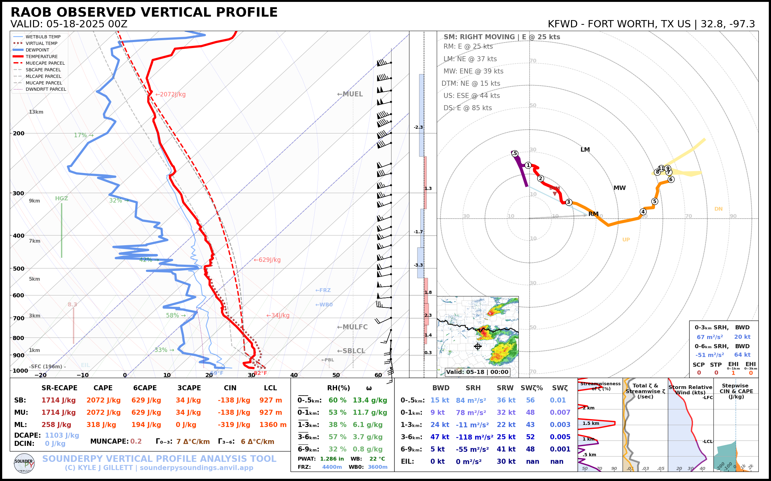
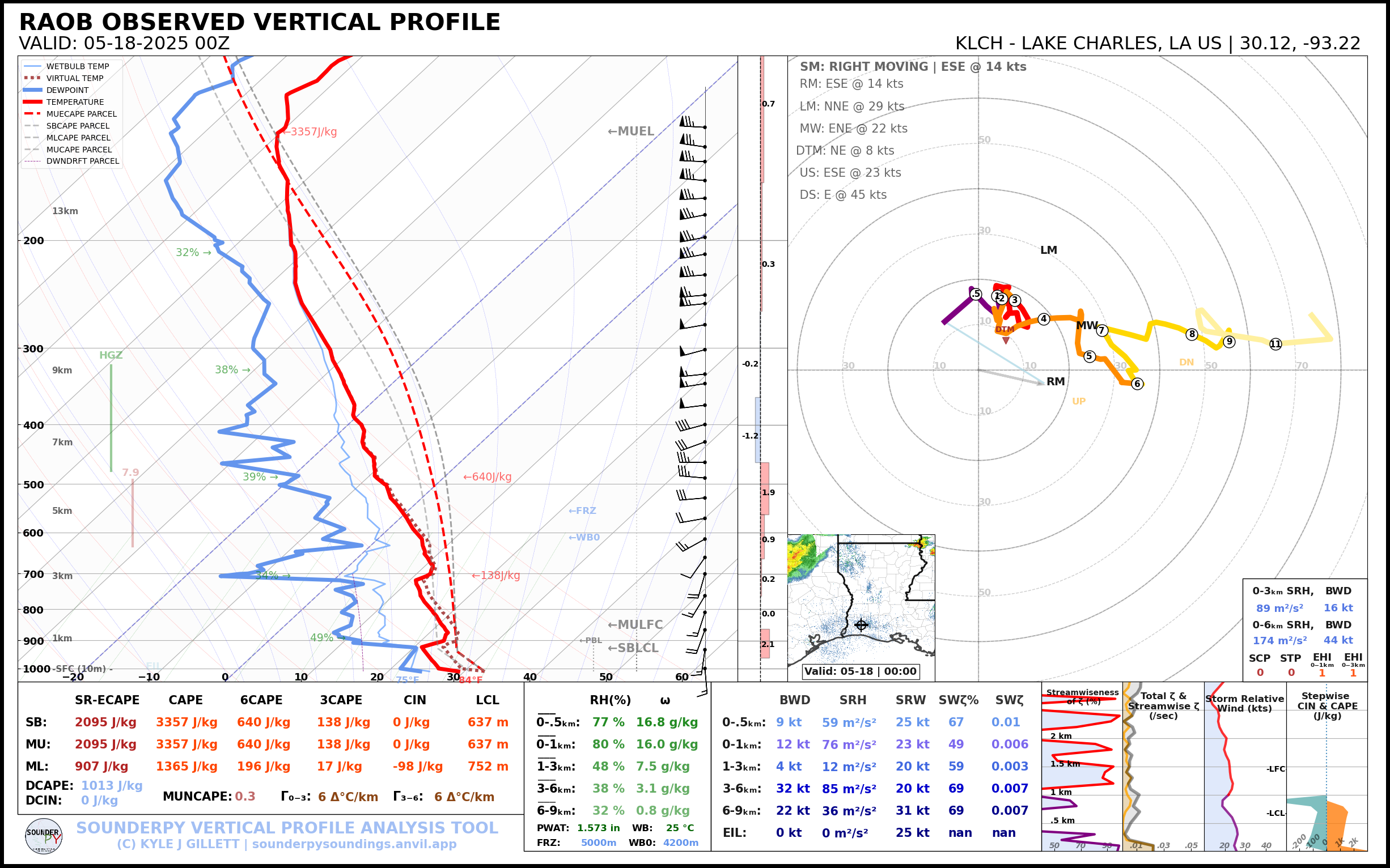
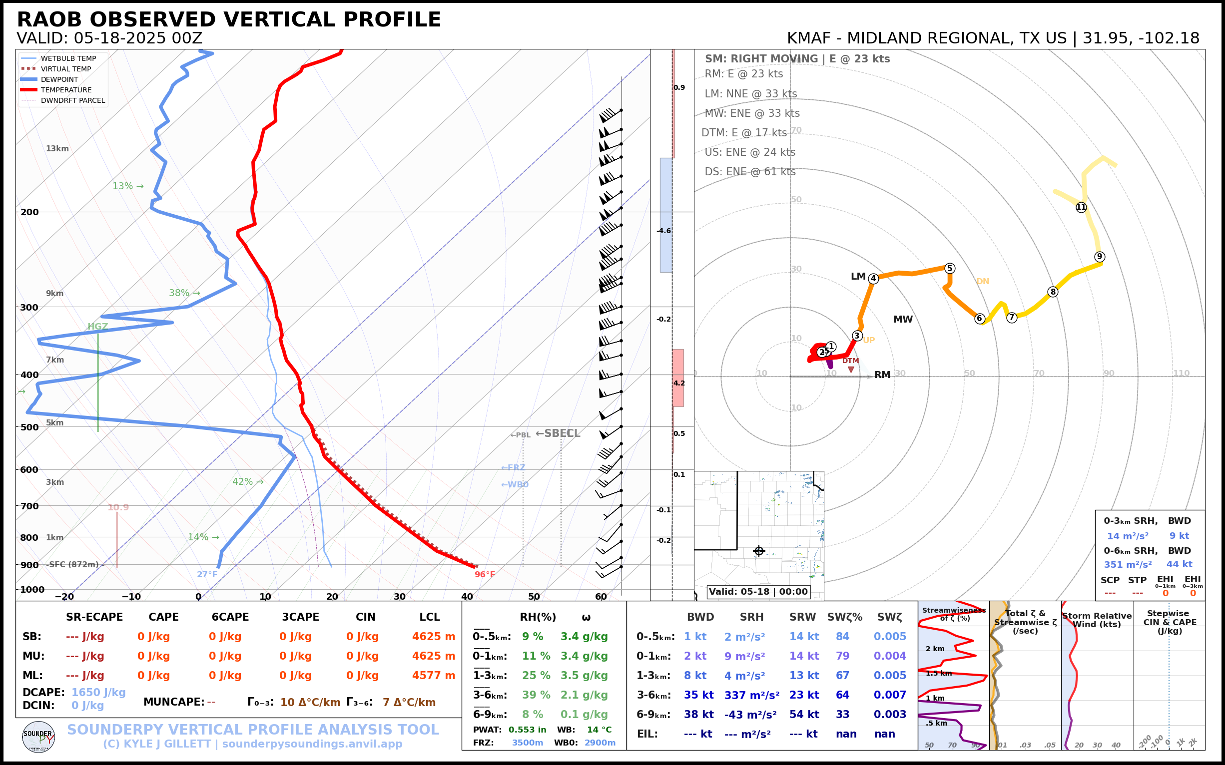
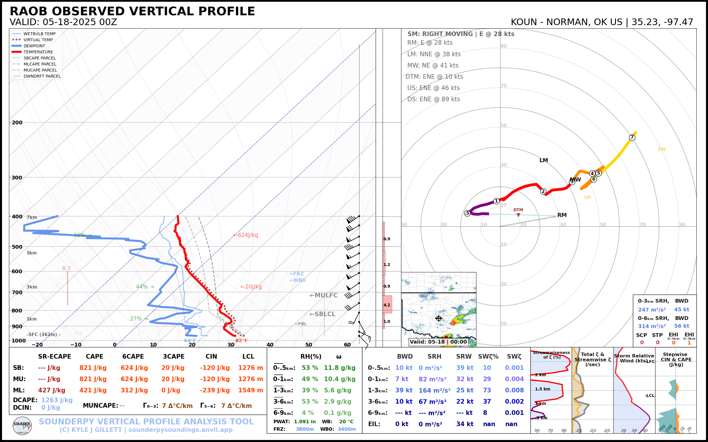
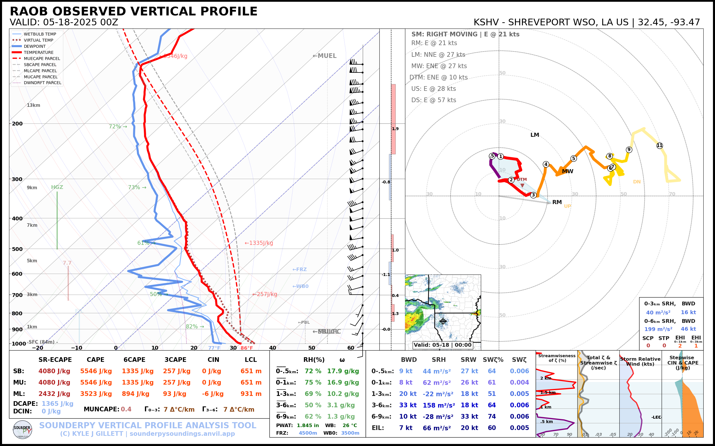
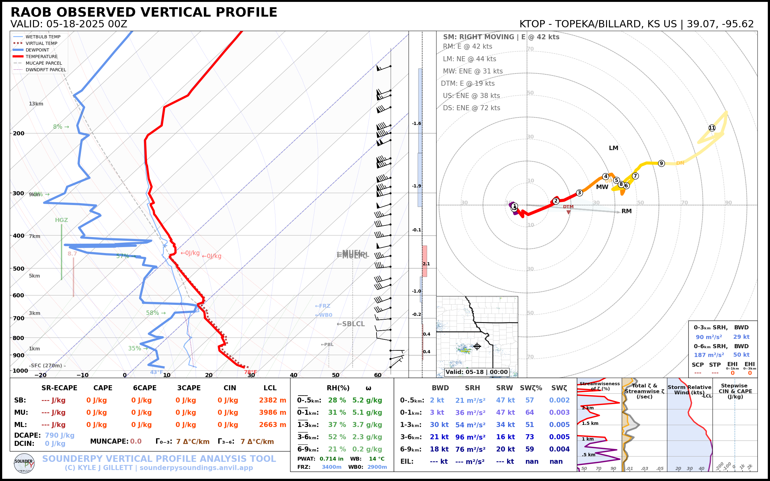
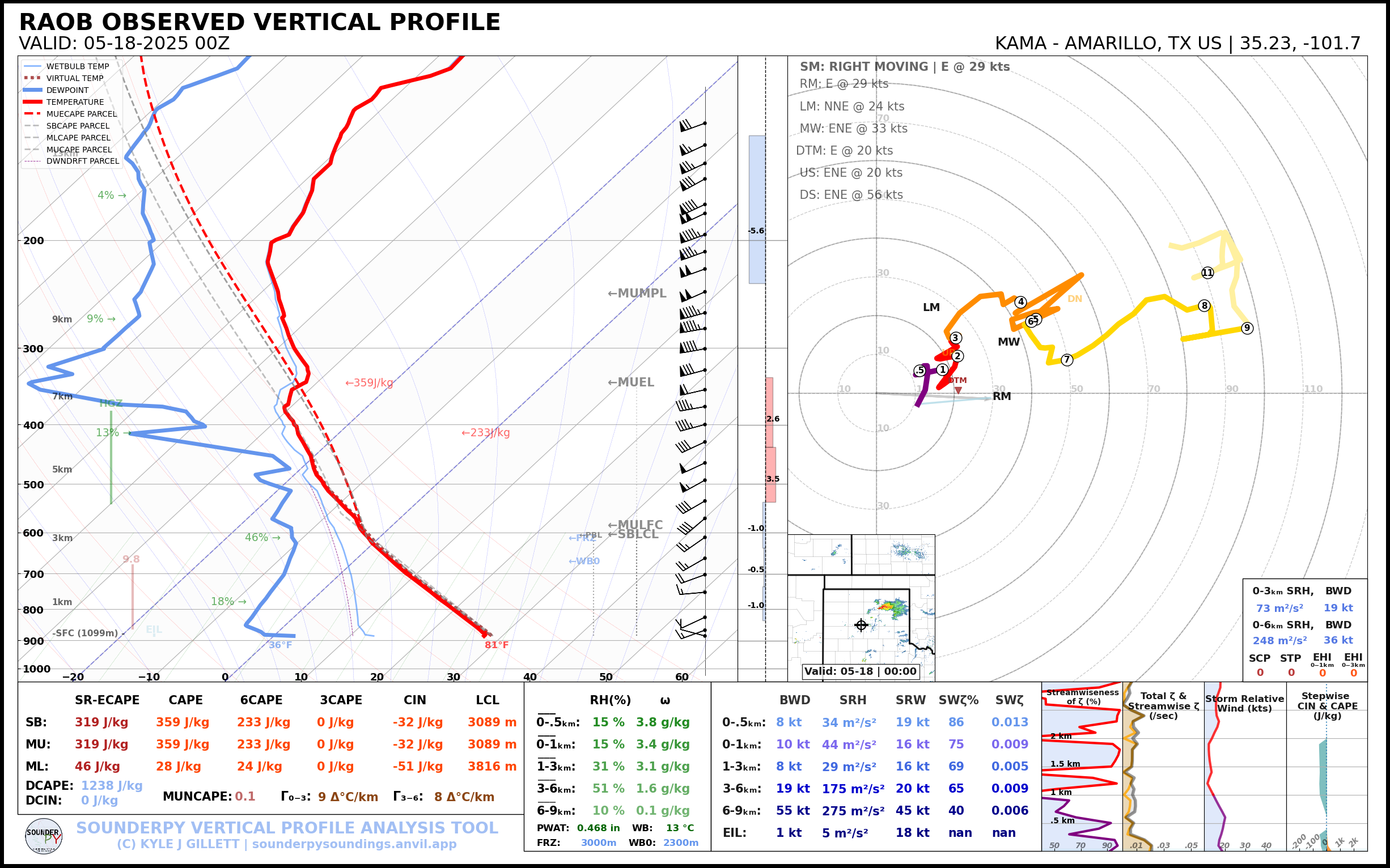
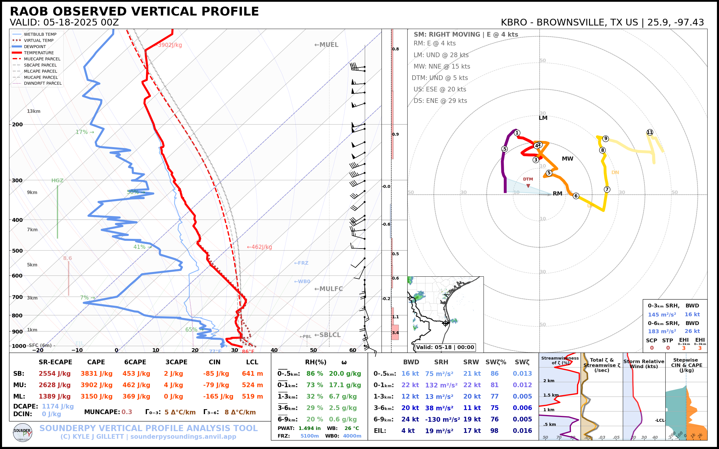
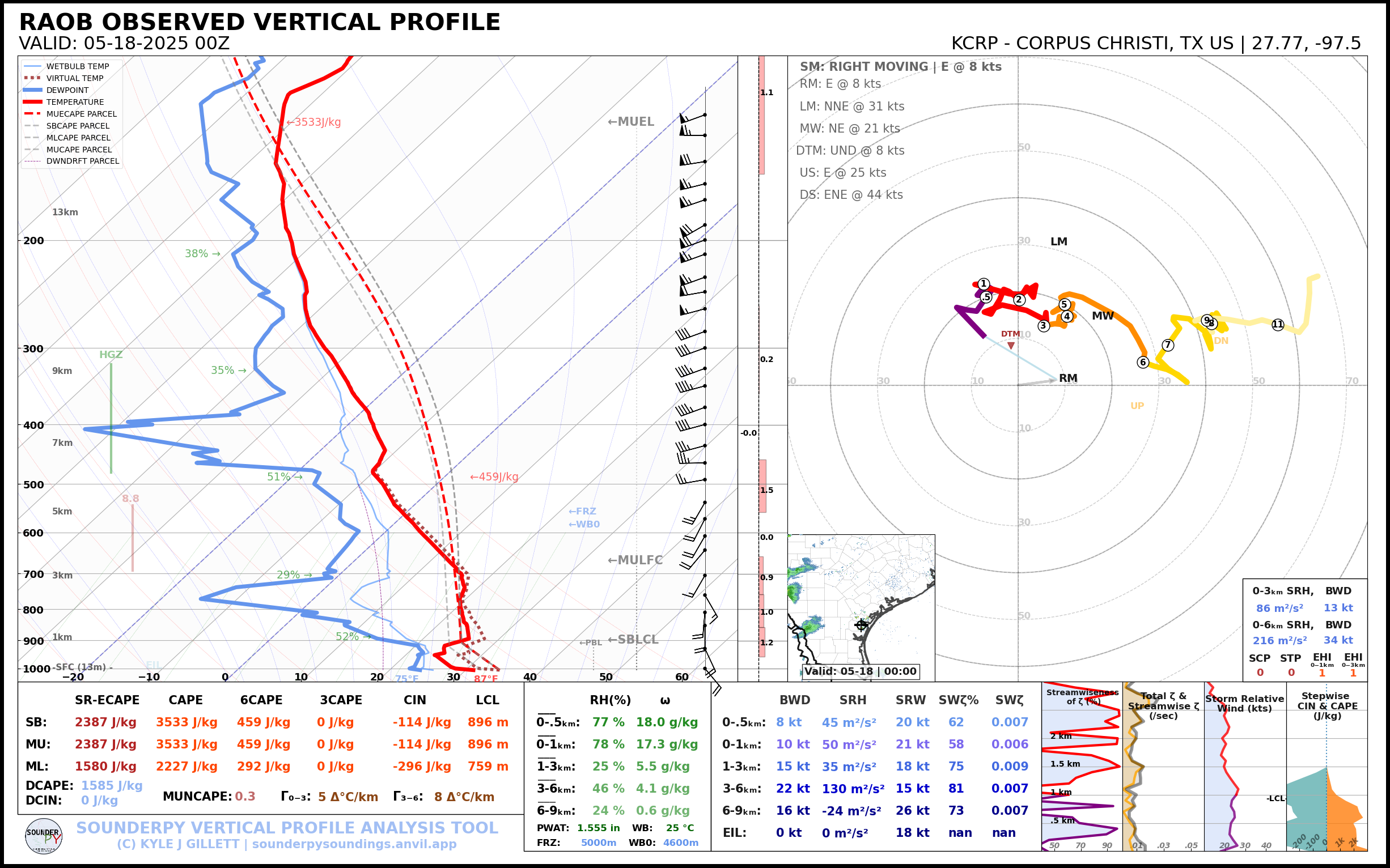
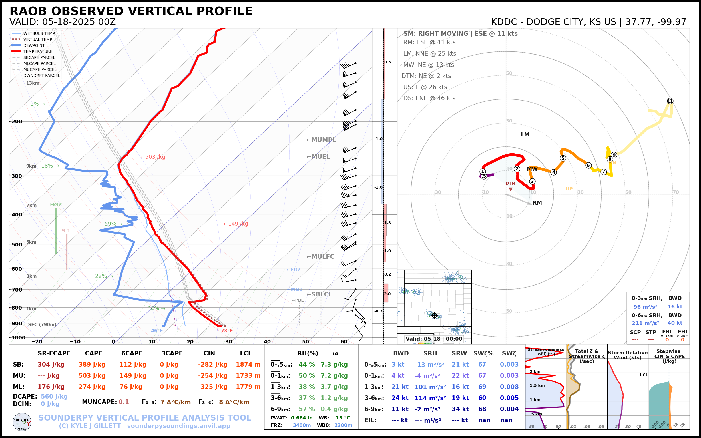
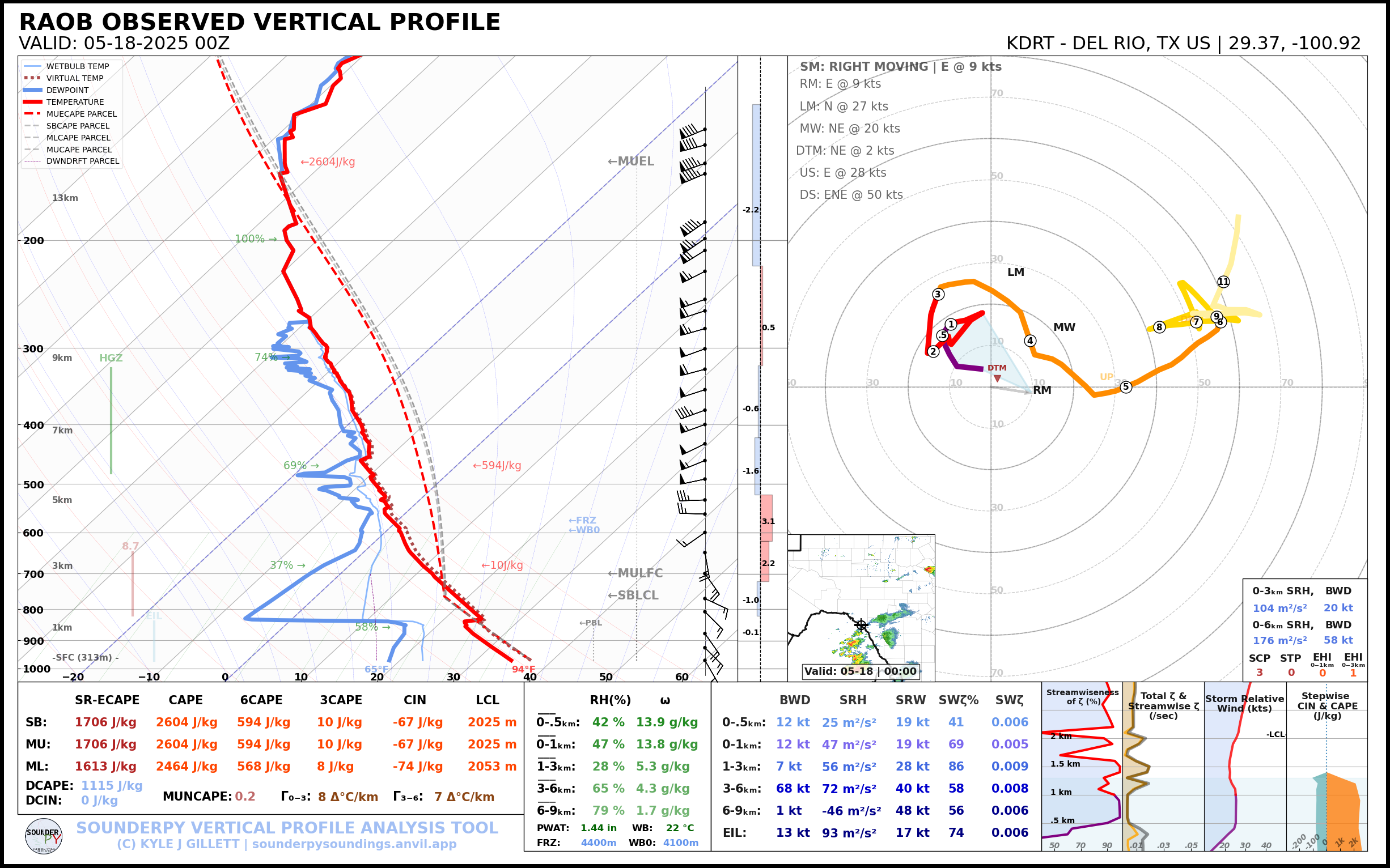
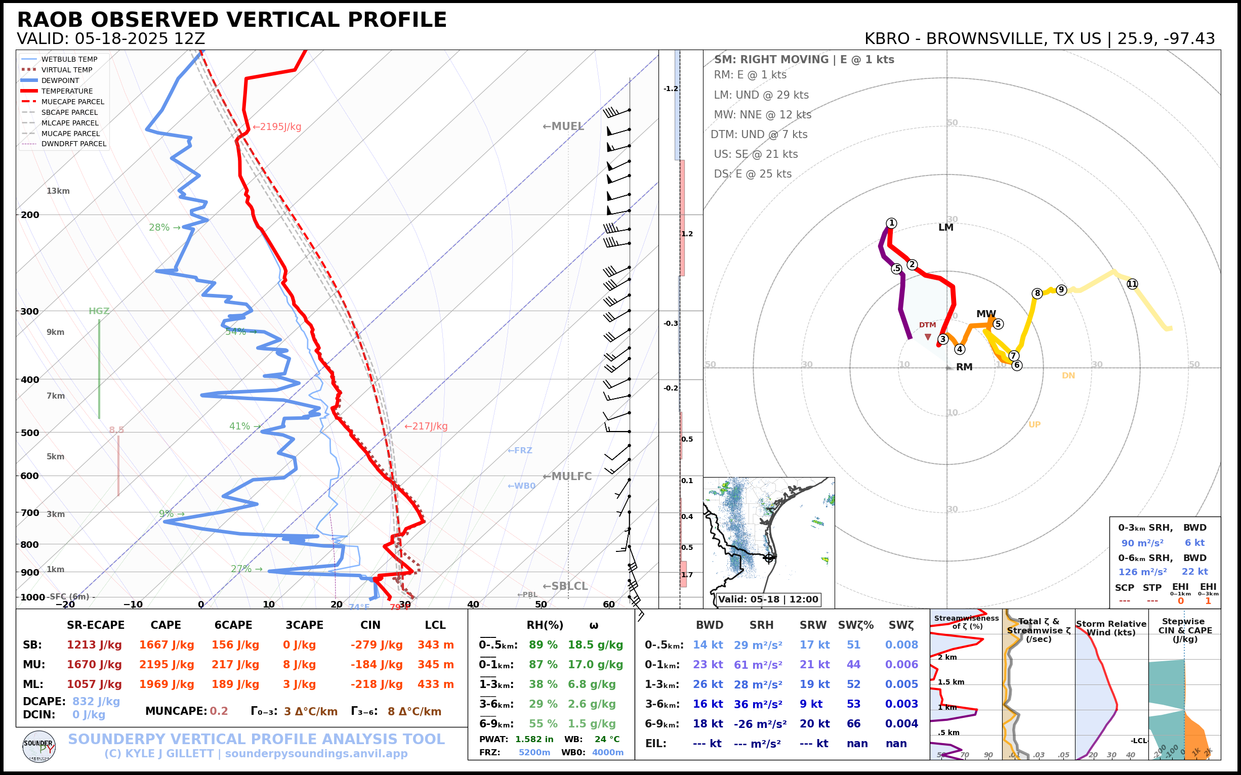
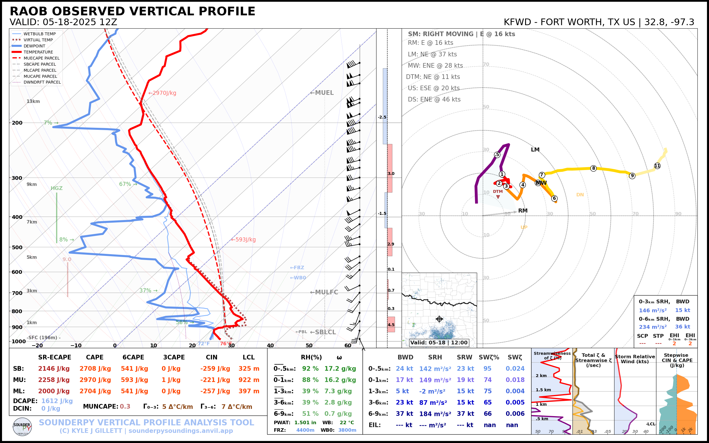
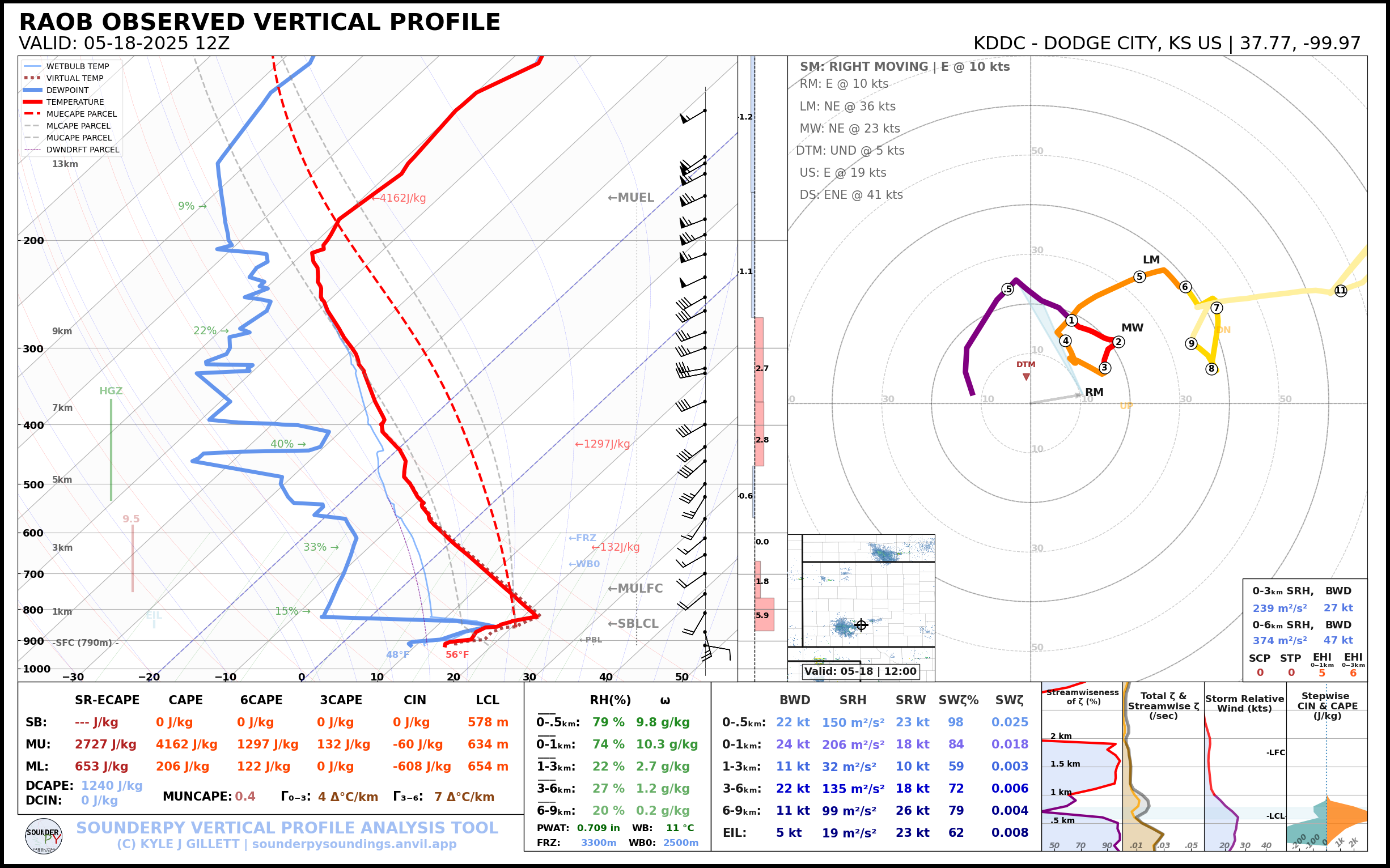
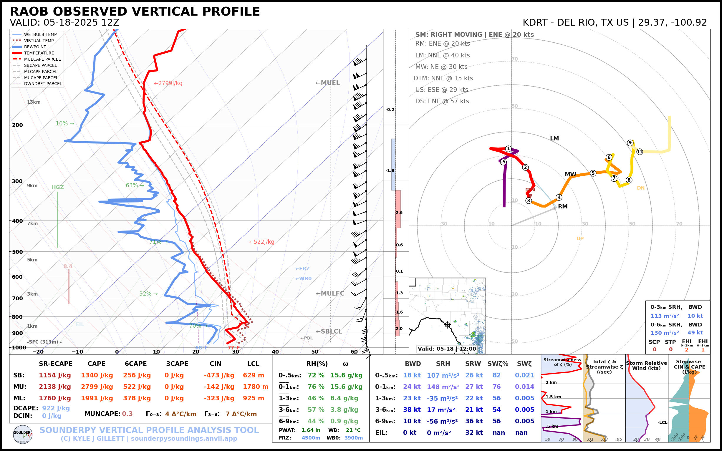
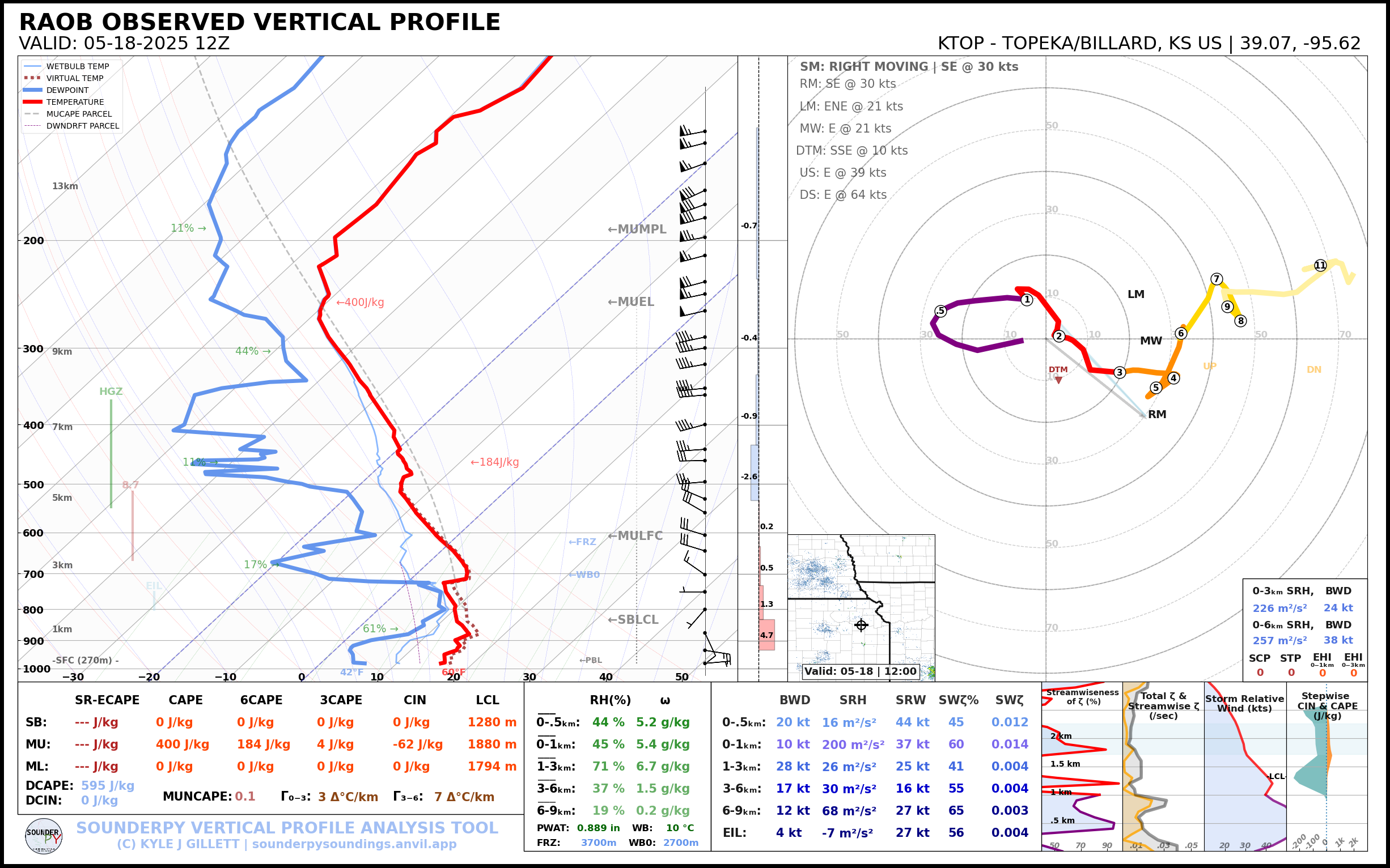
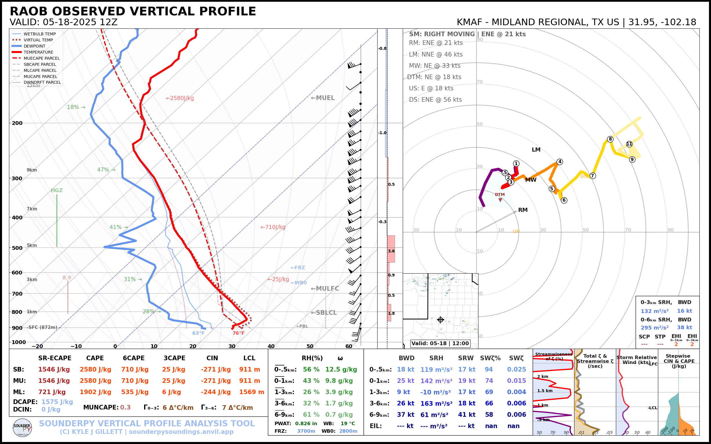
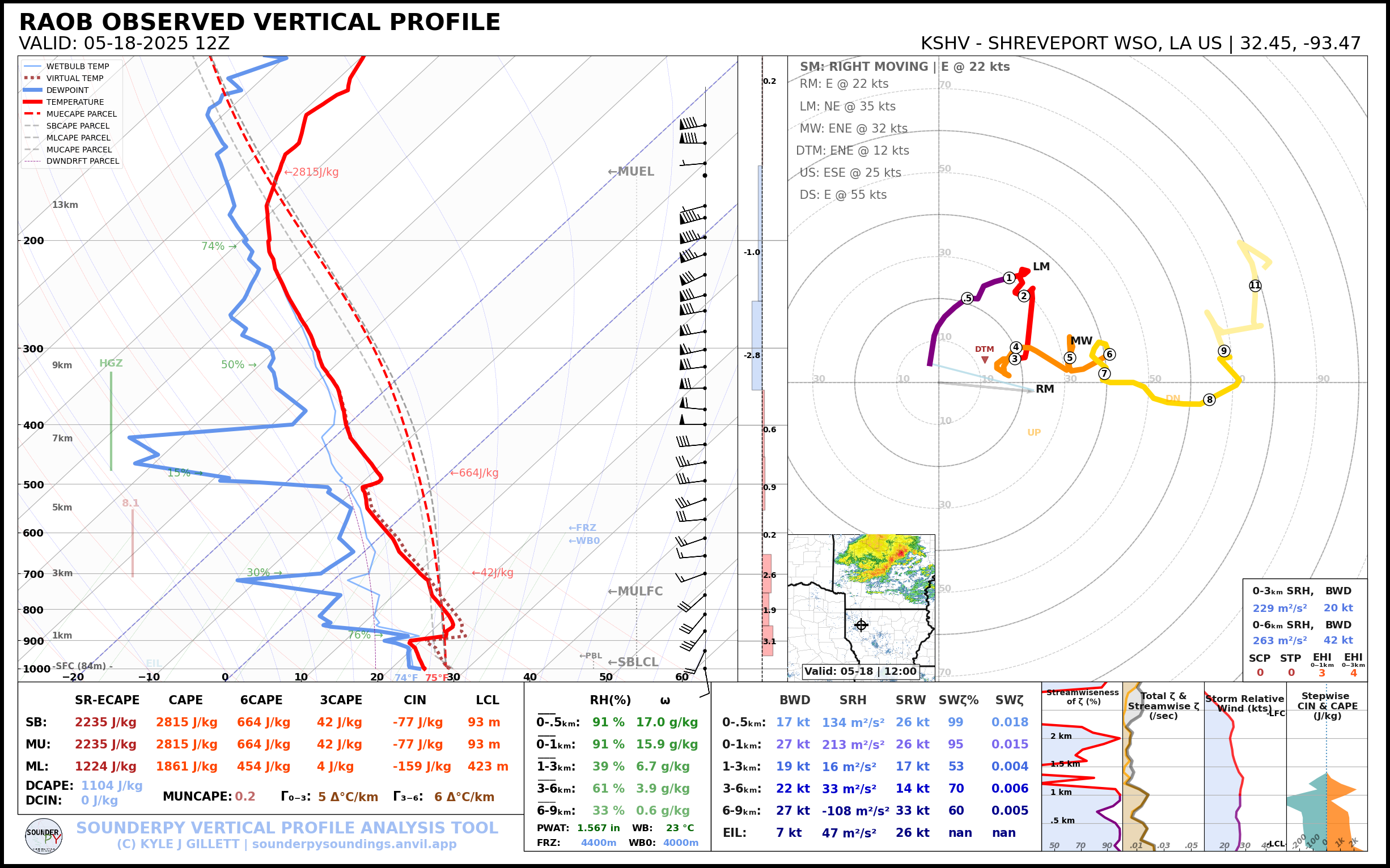
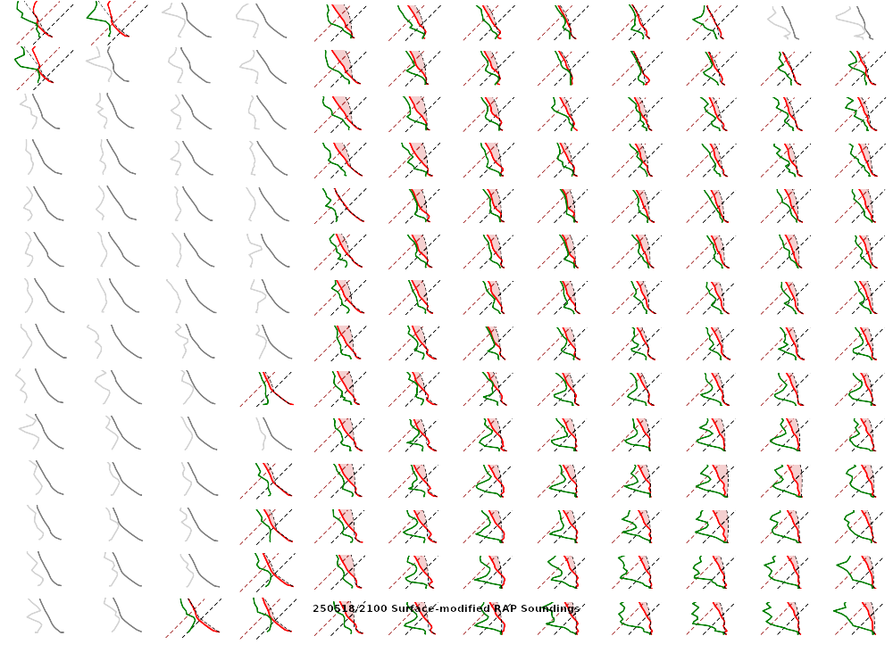
Saturday Evening RAOBs
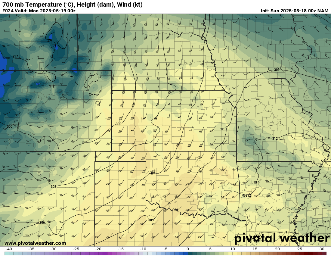
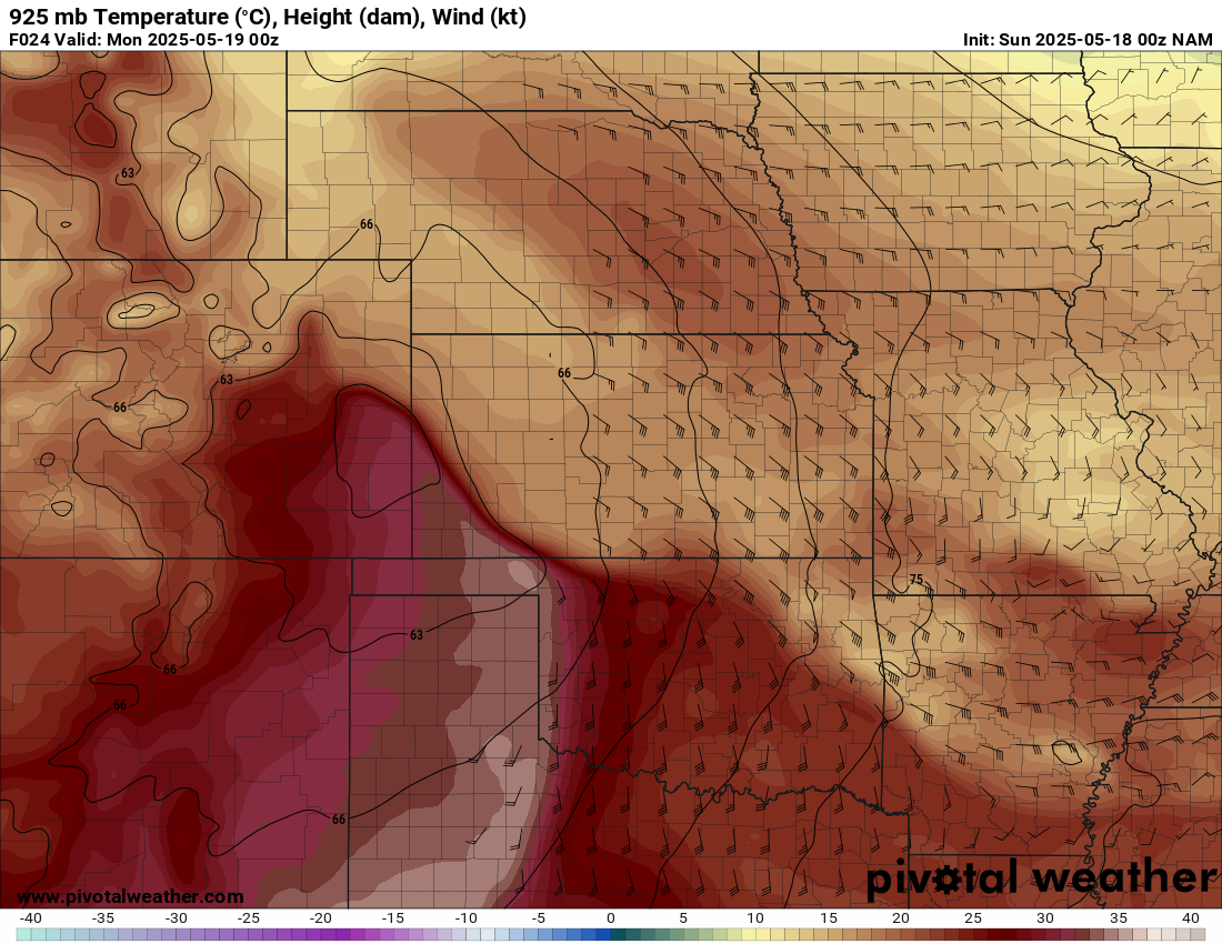
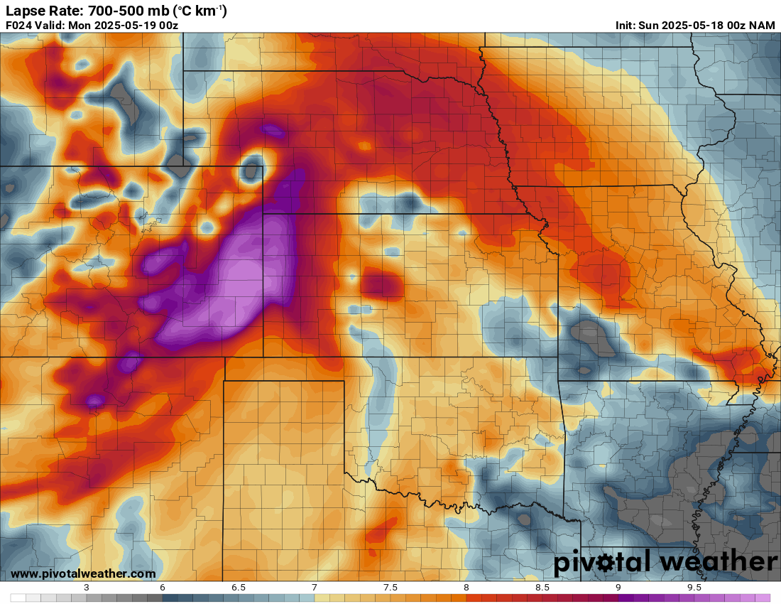
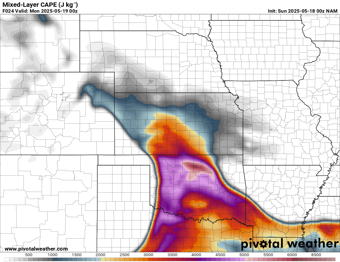
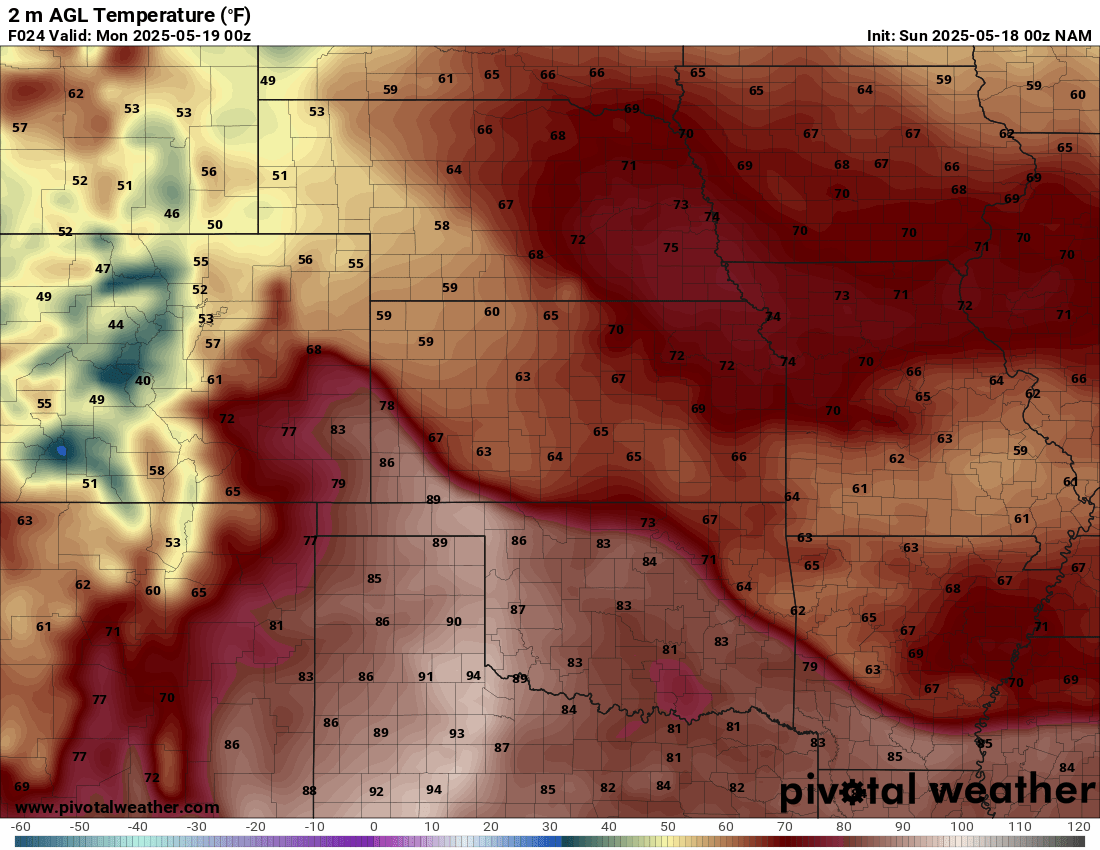
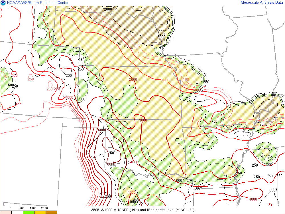
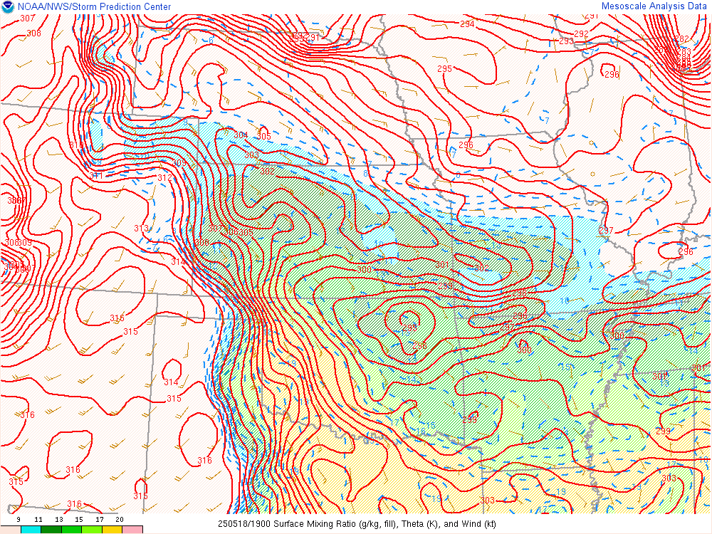
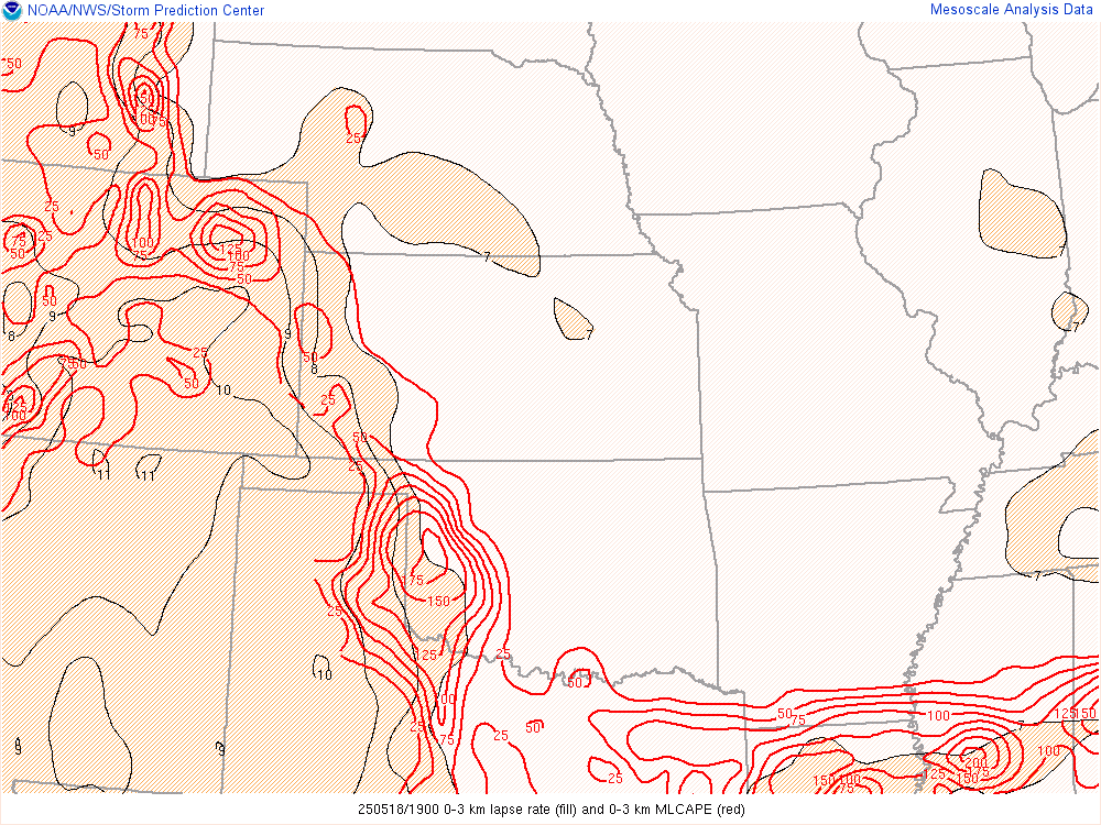
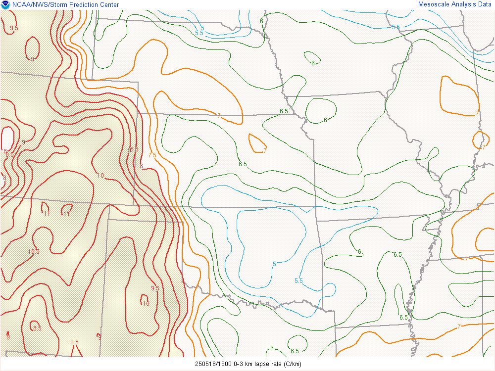
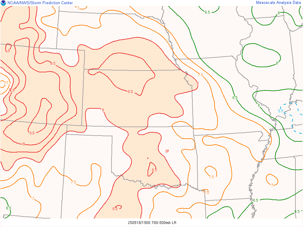
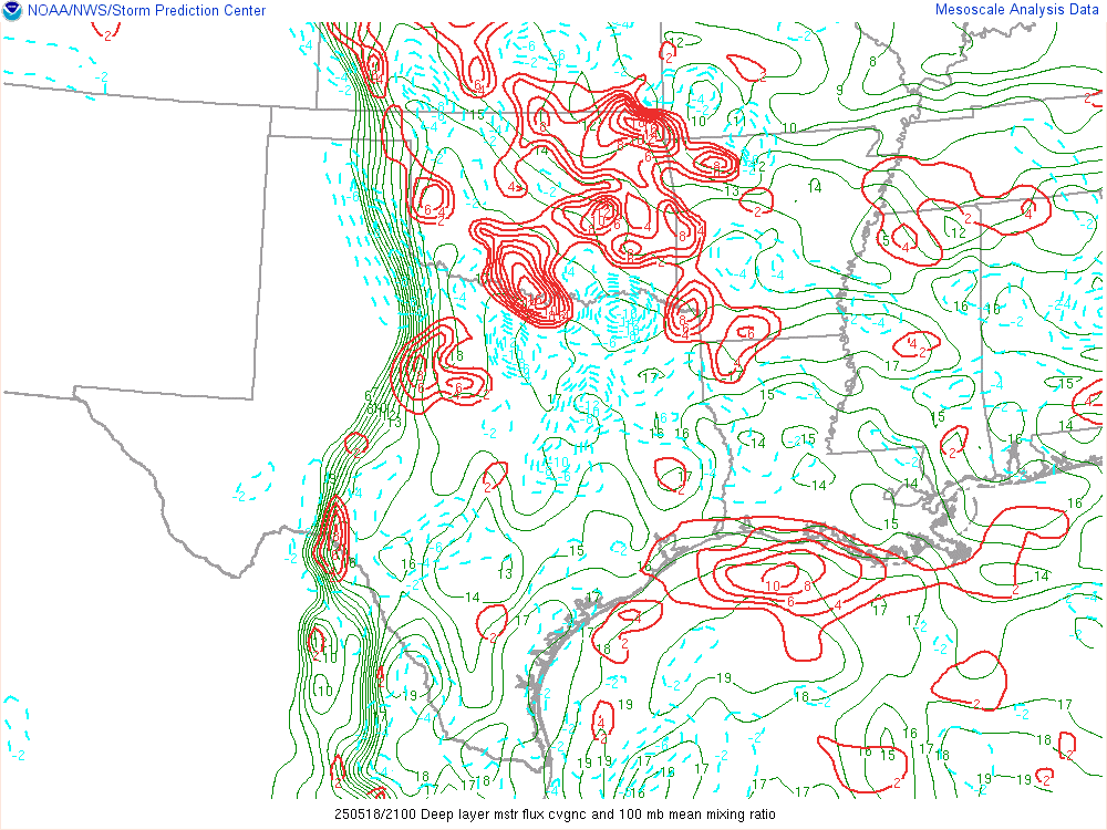
An extremely moist airmass was in place down south along the gulf and up towards Shreveport. Mixing ratios of nearly 17 0-1km on the Shreveport sounding showed deep rich moisture. Steep lapse rates to the west would ensure a strong EML on the 18th.
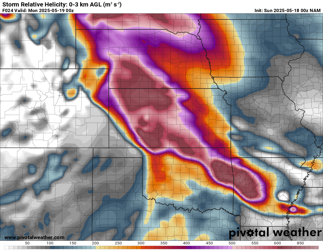
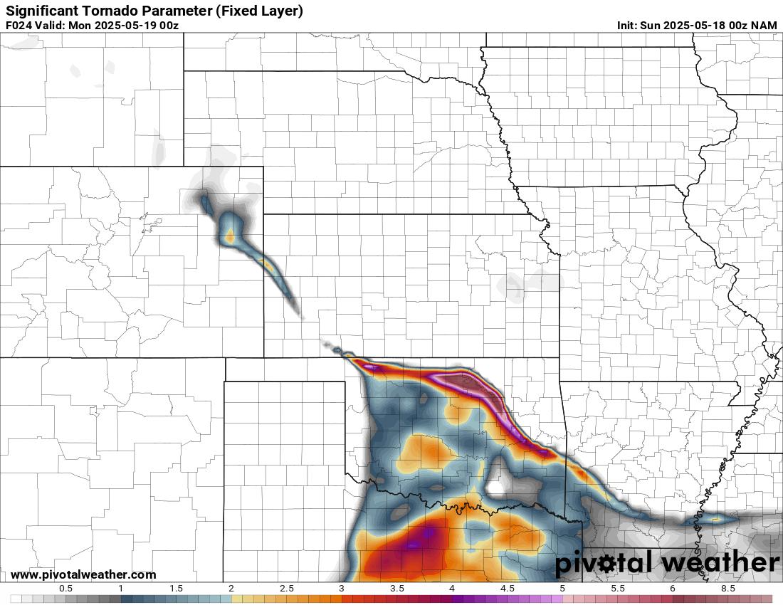
Forecast
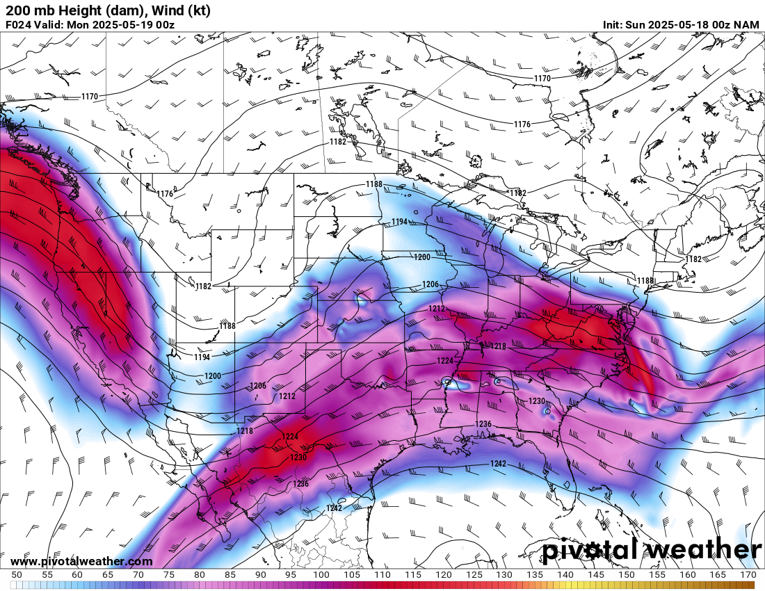
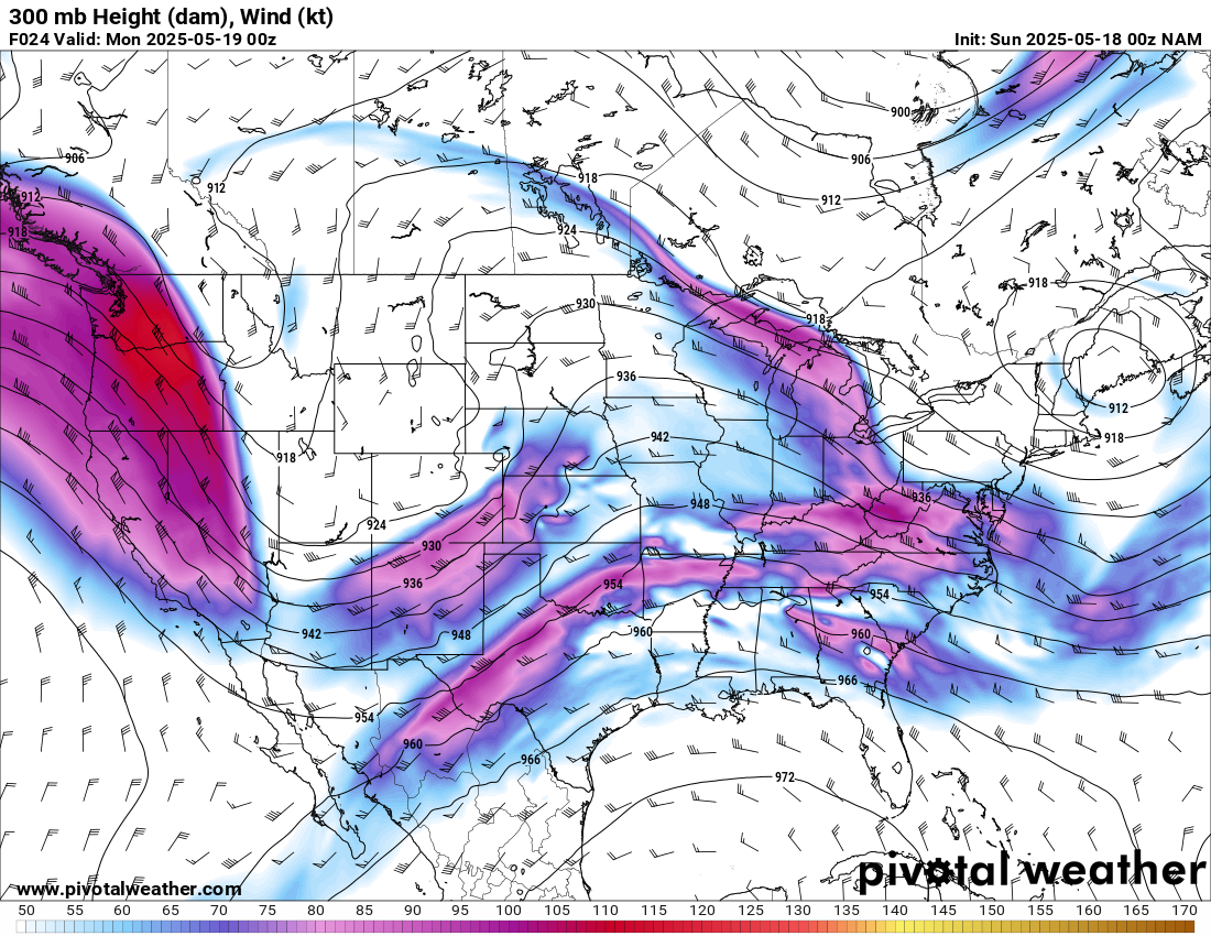
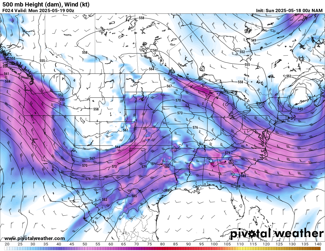
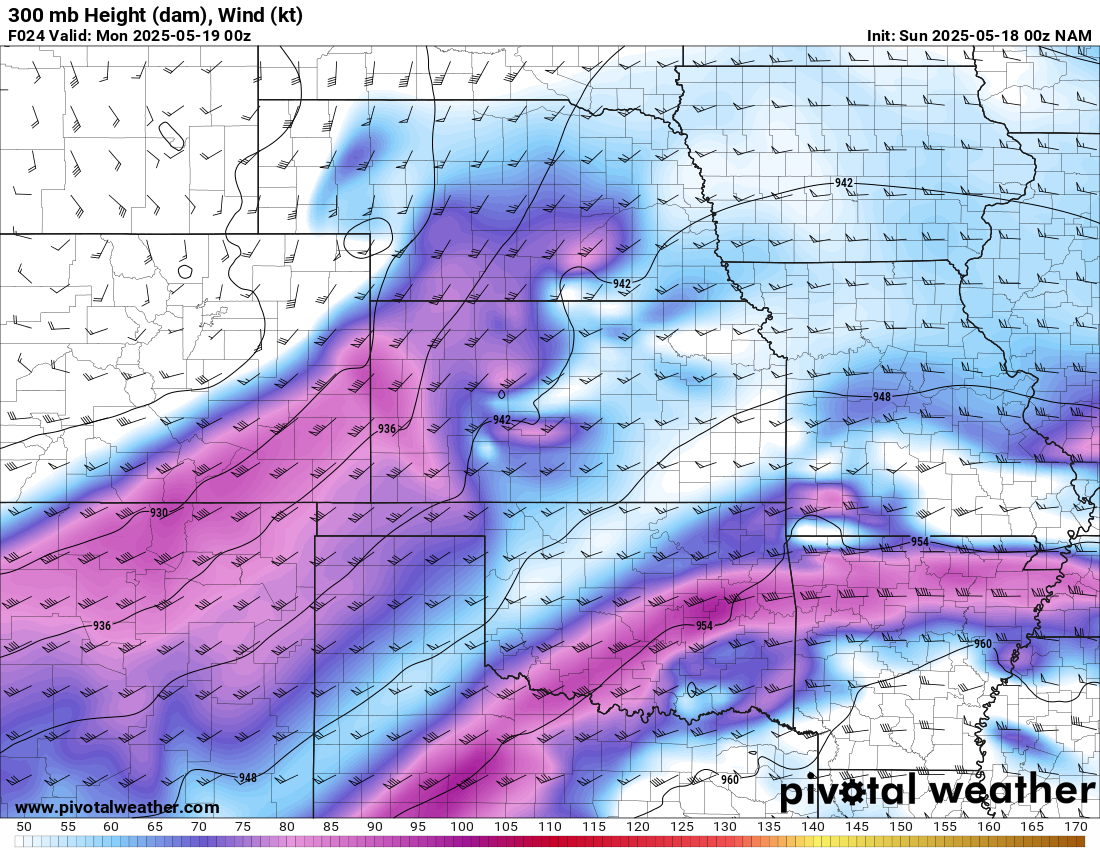
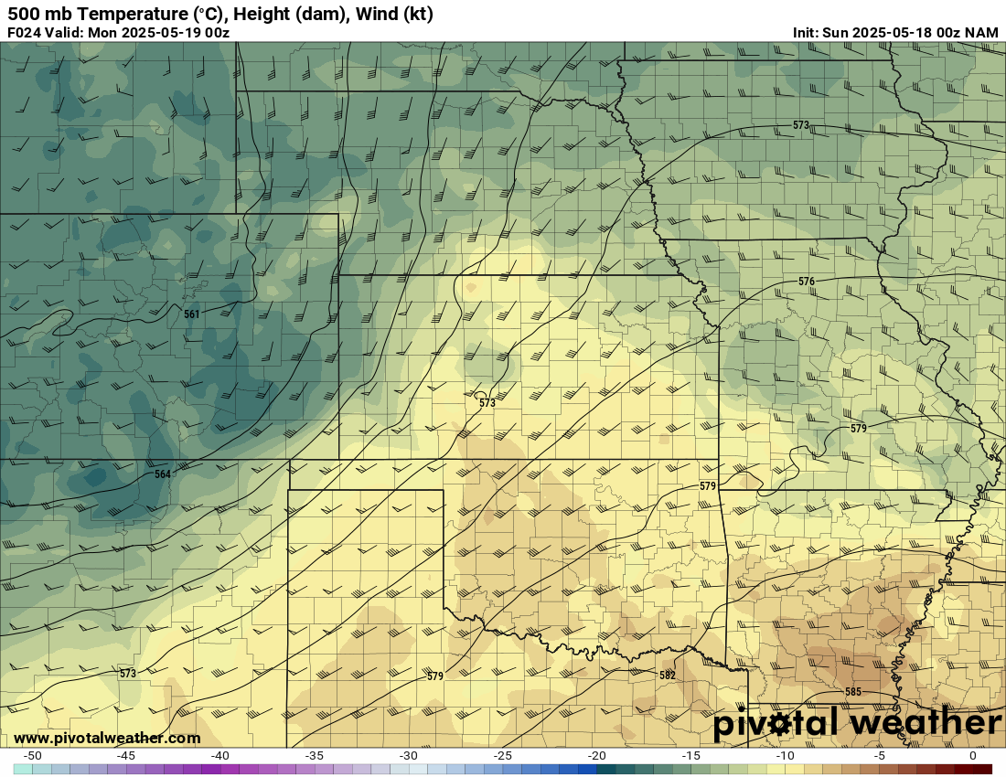
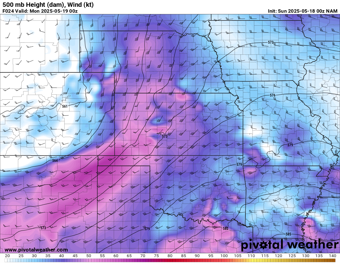
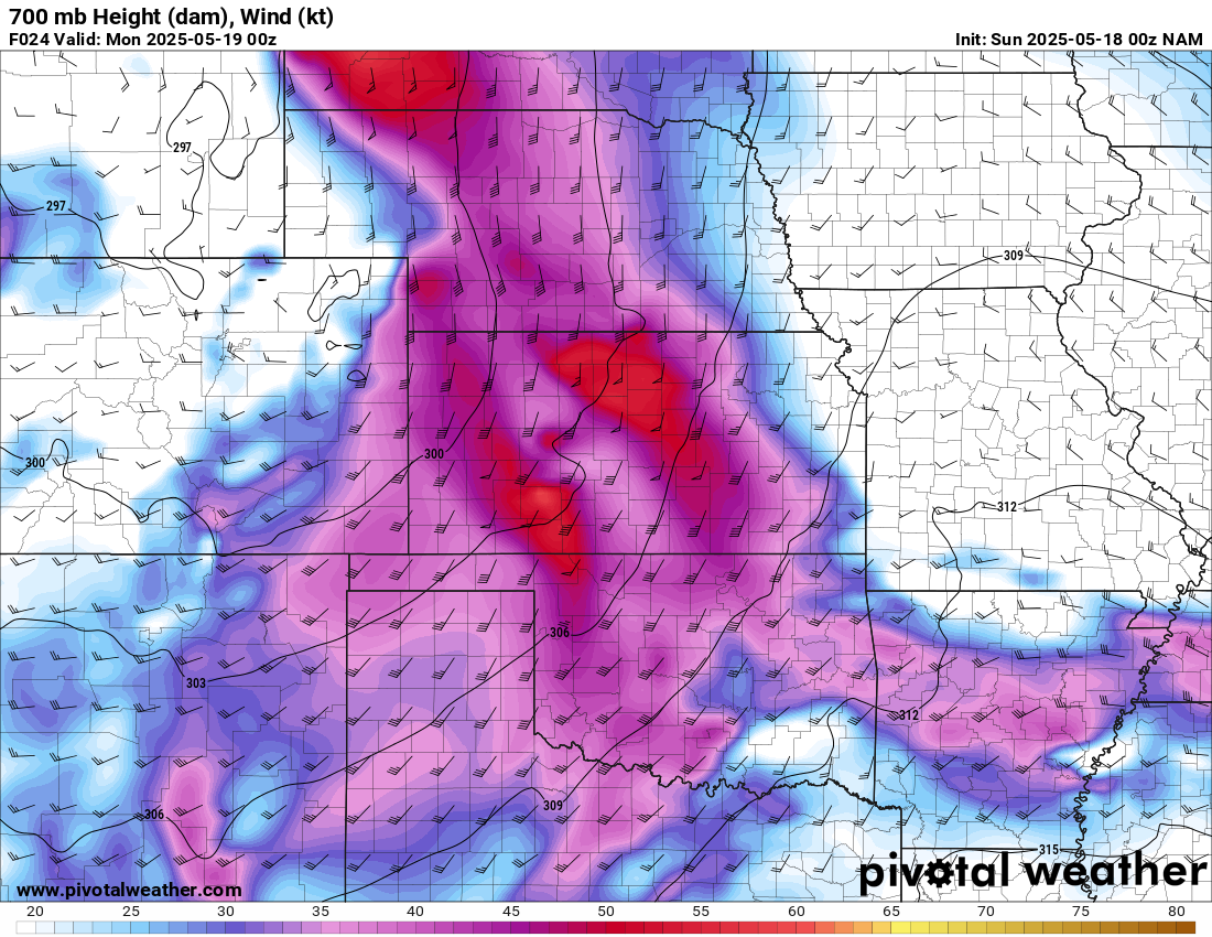
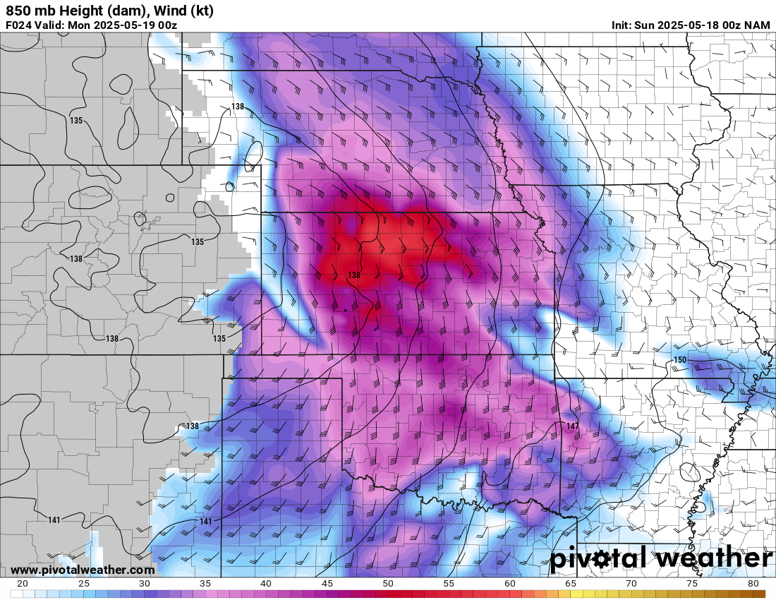
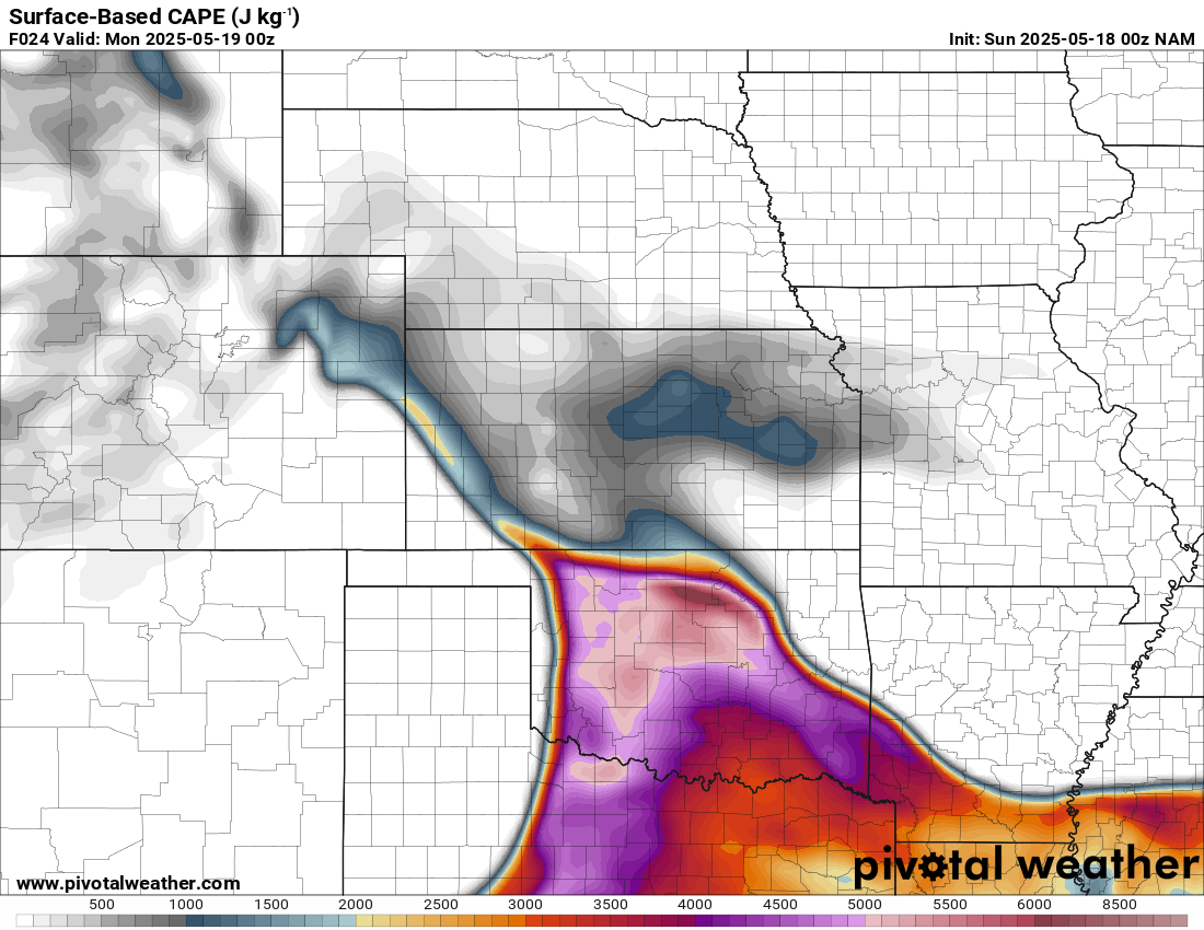
A very strong ski jump jet would slap into Oklahoma for the 17th, 18th and 19th. The 18th and 19th looked to be the better days, with excellent trough geometry.

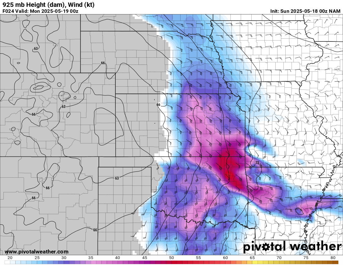
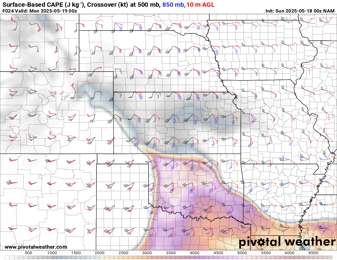
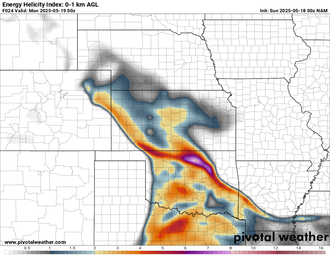
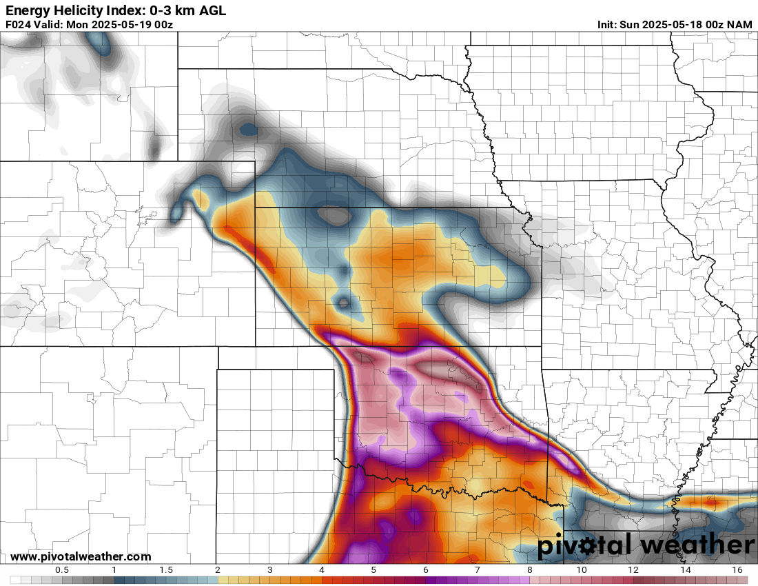
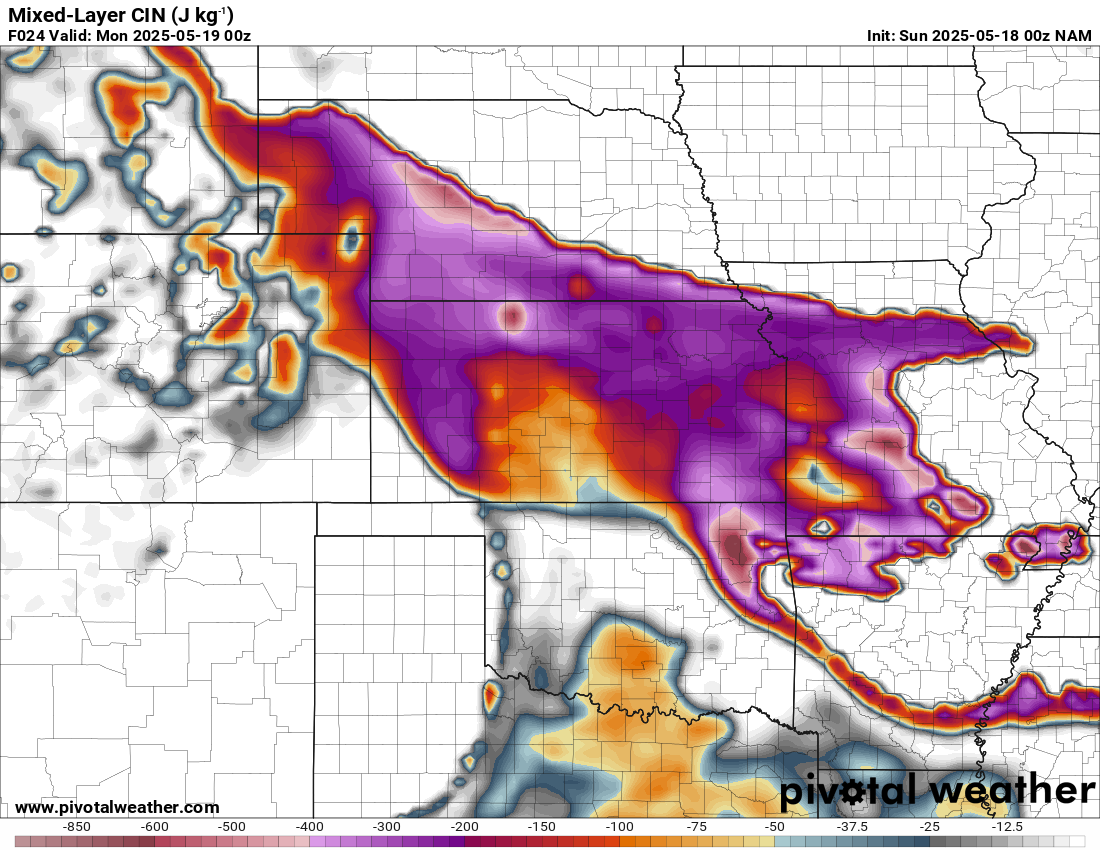
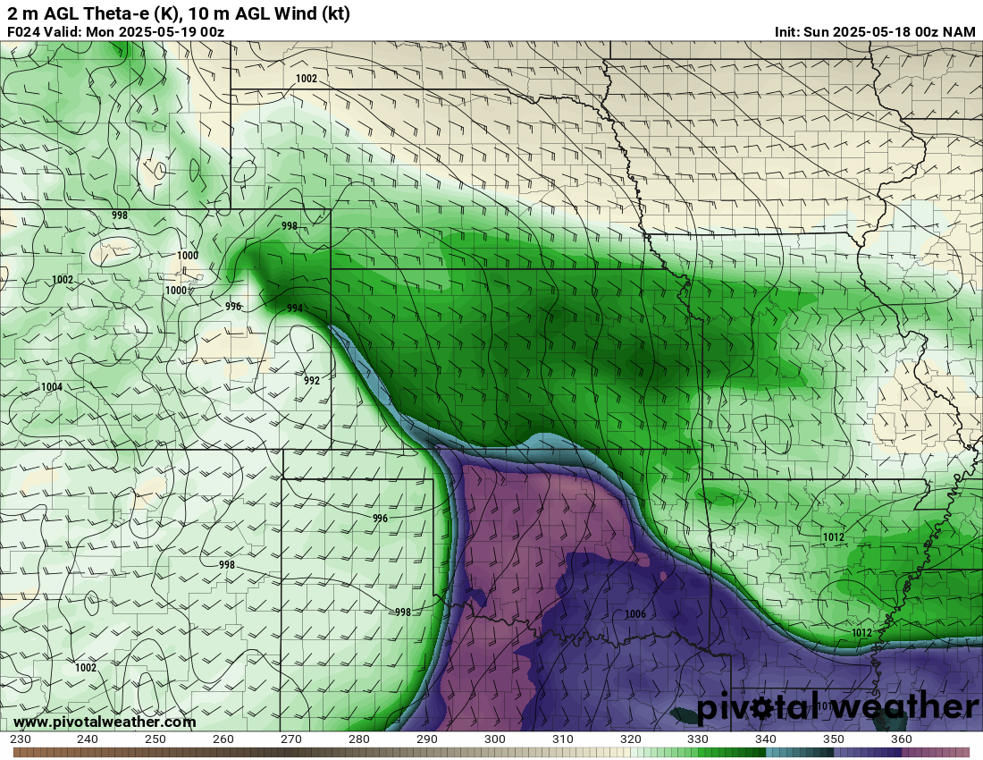
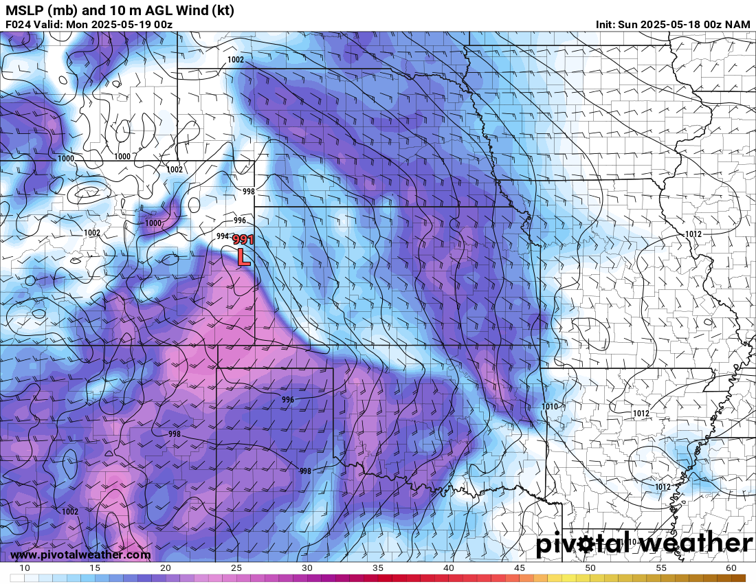
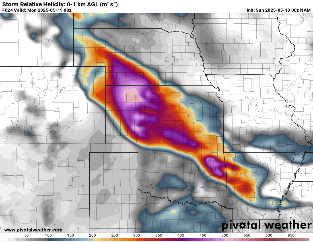
00Z NAM 20250518 / Evening of May 17, 2025 – Forecast Hour 24


Waking up in the morning
At the start of the morning, very cold and stable air was in place across Kansas and Northern Oklahoma. I knew it was early, but I was very worried about the forecast for the day.
12Z Observed Soundings
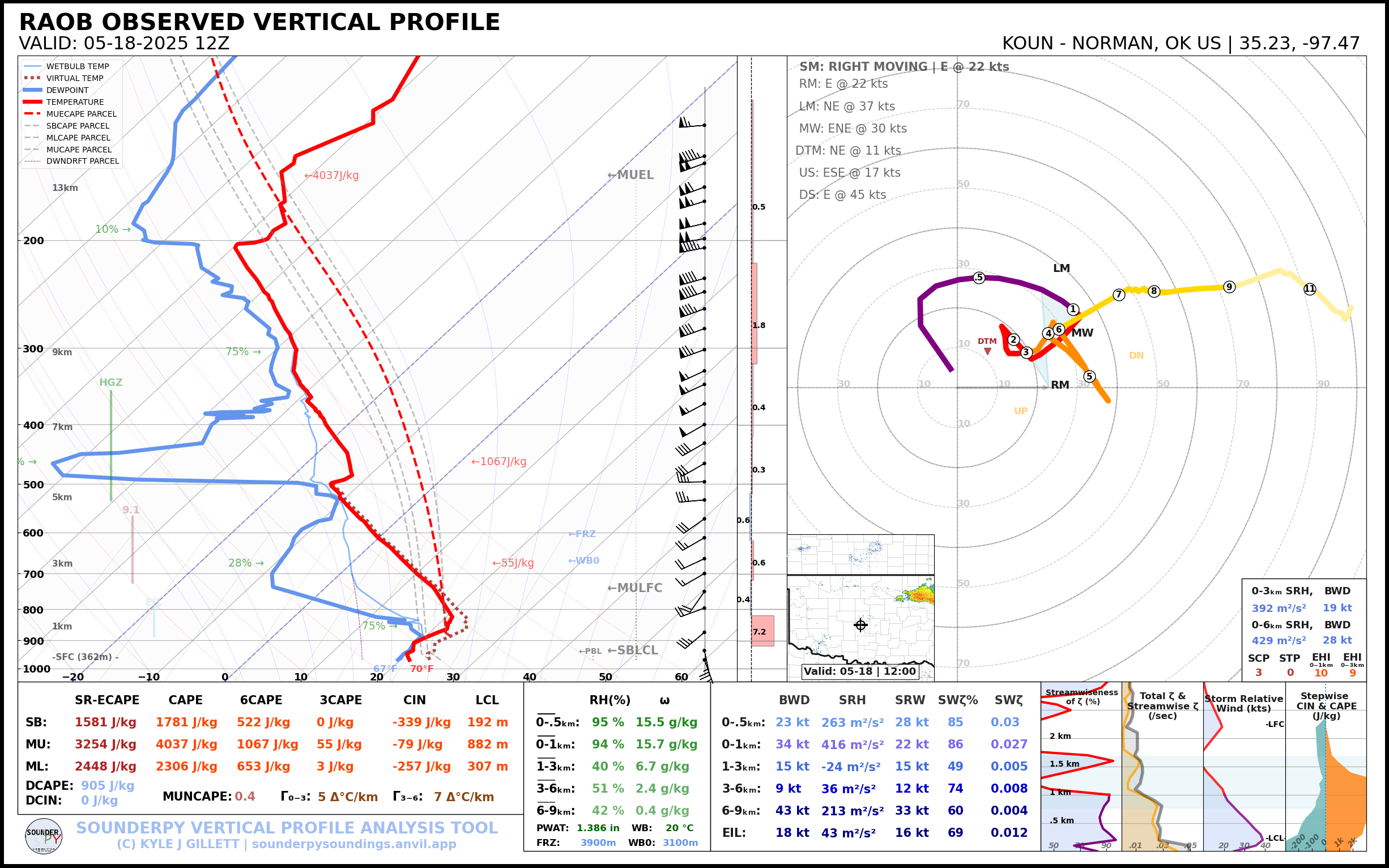

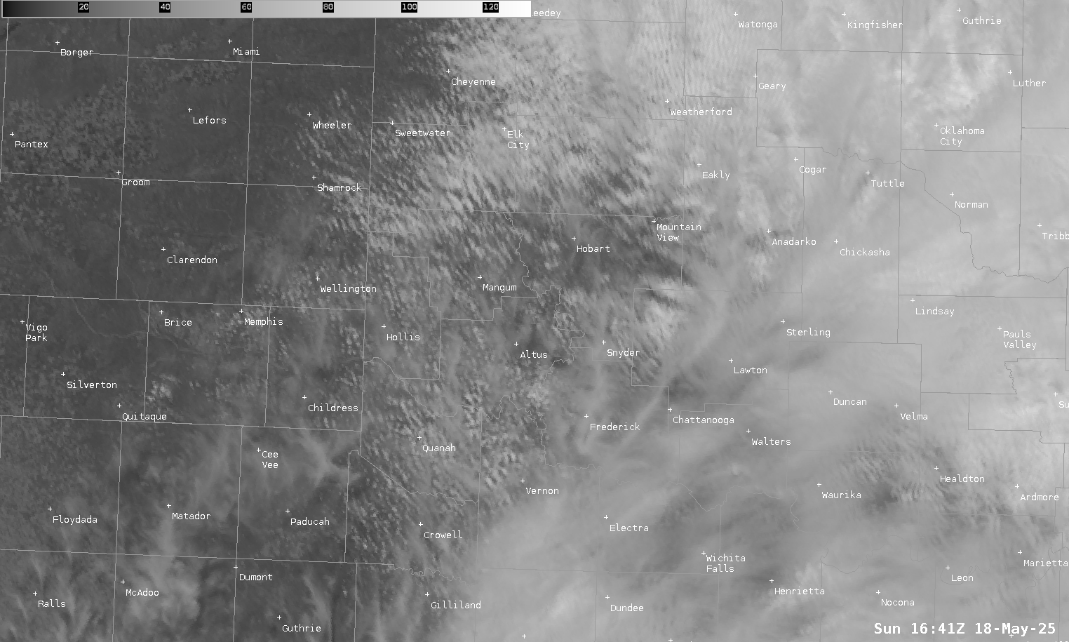
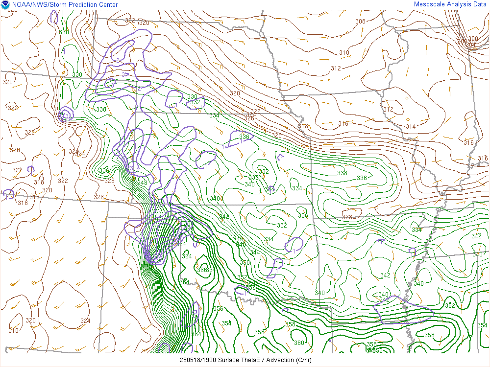
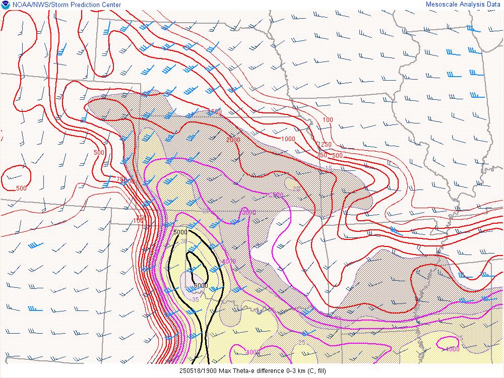
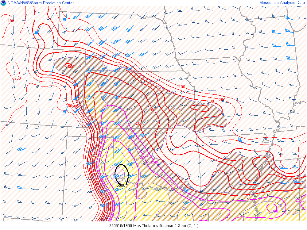
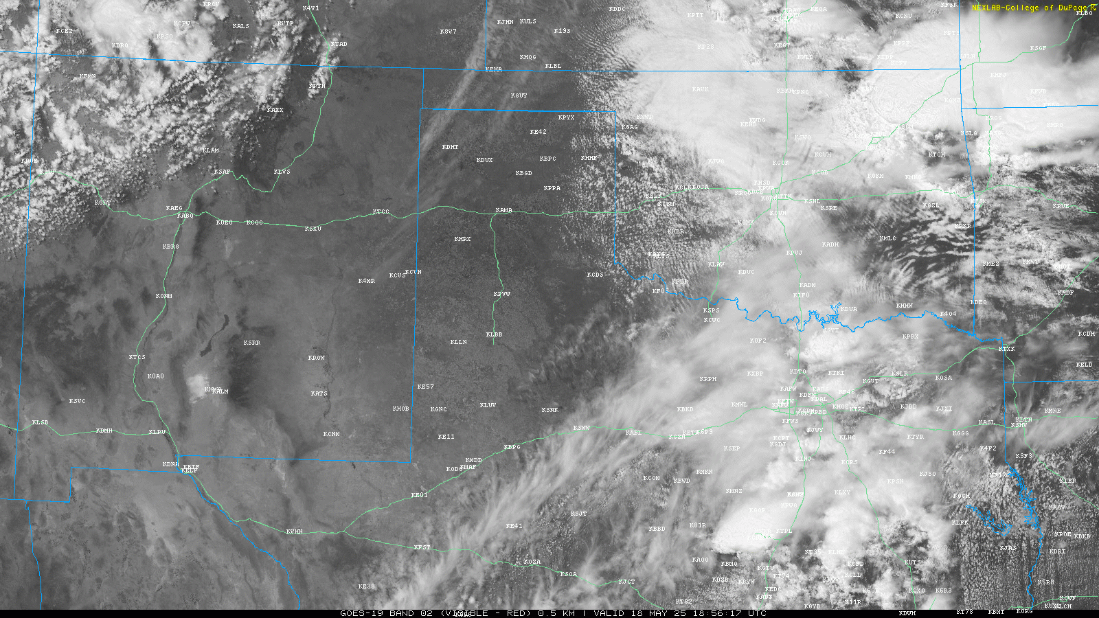
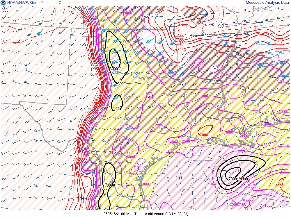
The Oklahoma Mesonet Theta-E (above) showed a very rich environment in Western Oklahoma, with the best readings at Butler and Elk City. The visible satellite loop (below) showed agitated cumulus across Western Oklahoma as the cirrus clouds started moving out.
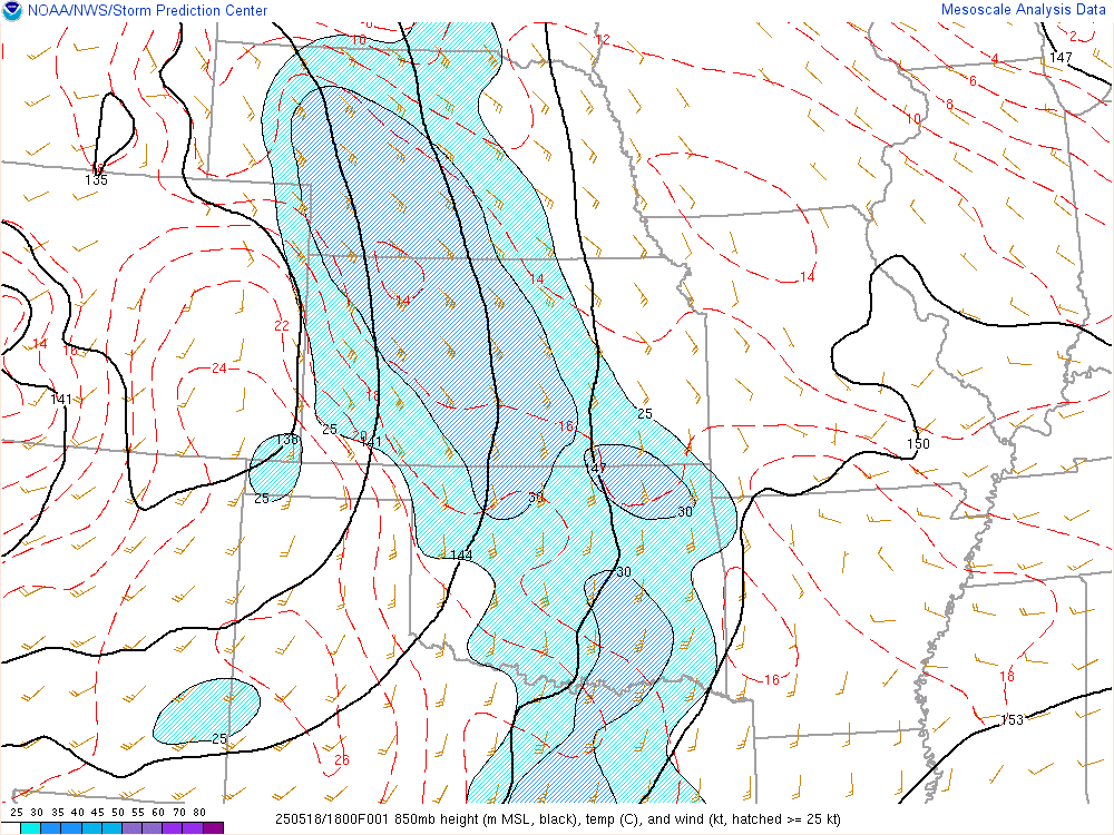
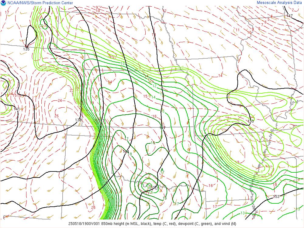
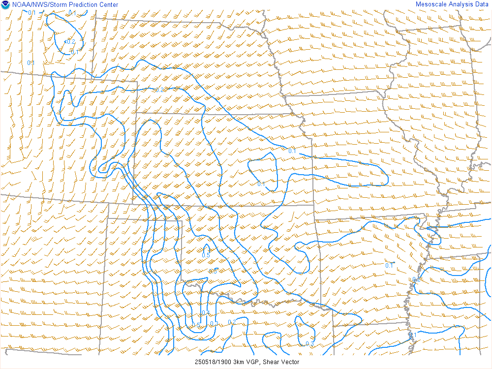
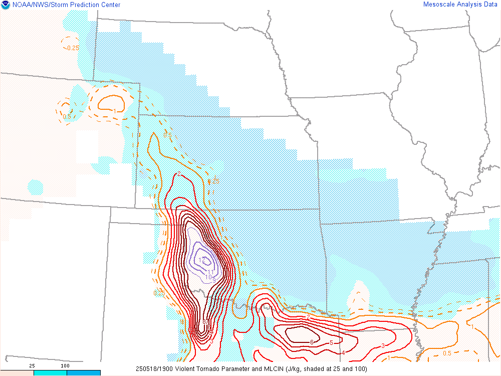
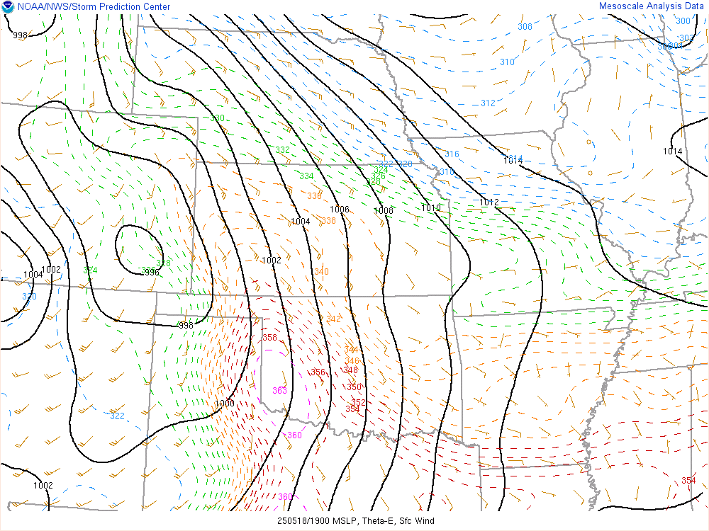
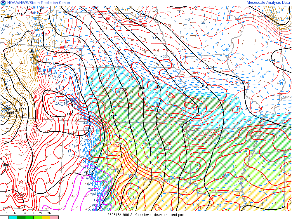
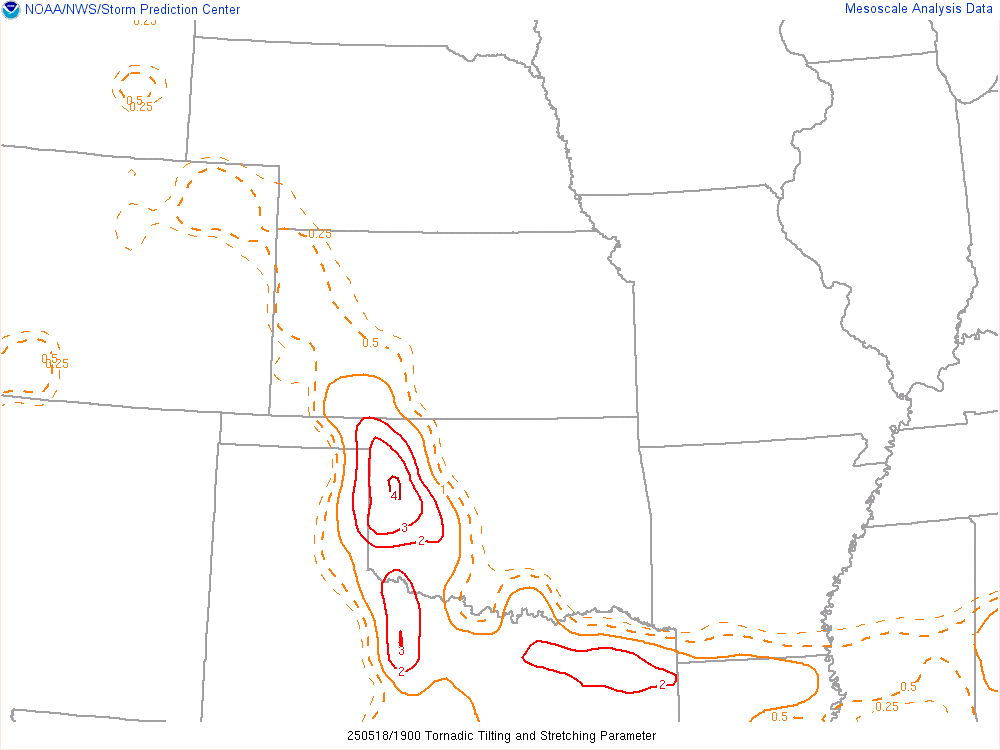
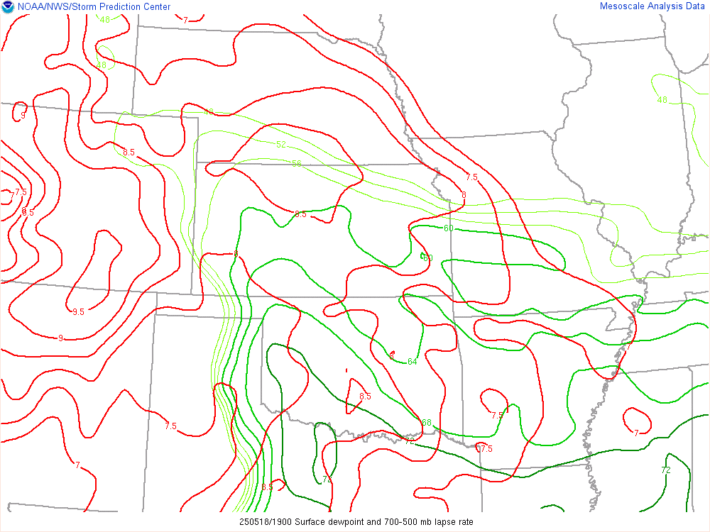
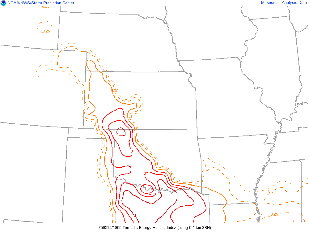
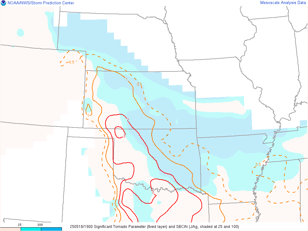
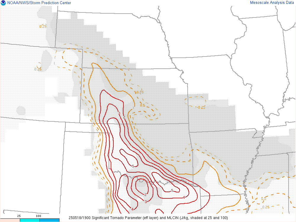
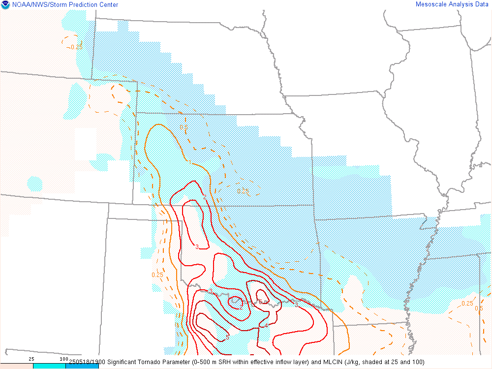
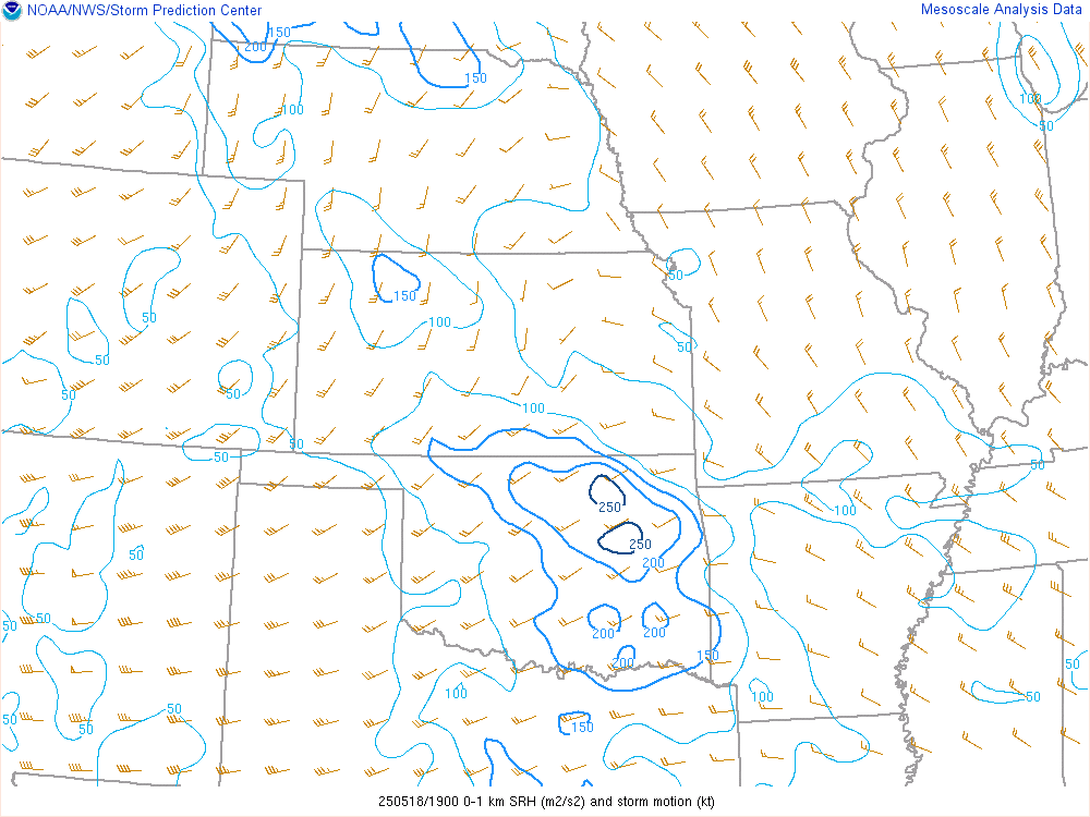
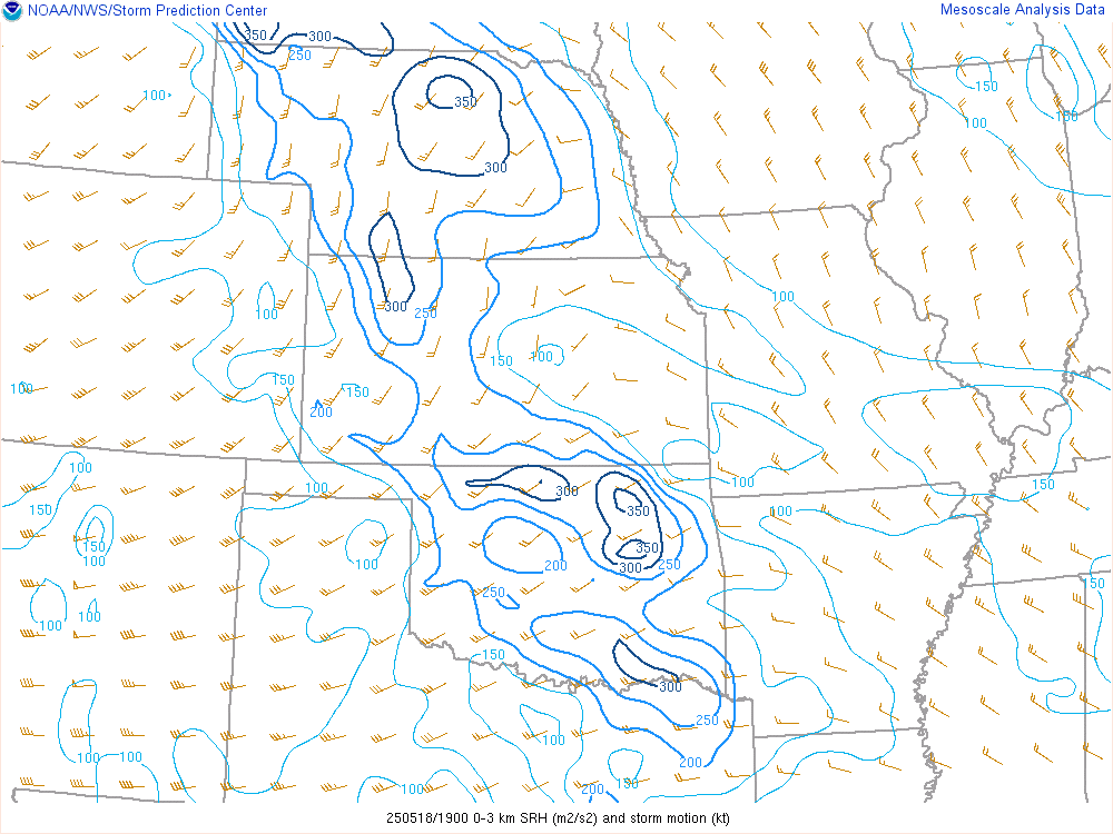
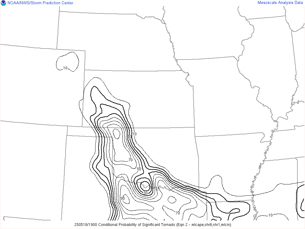
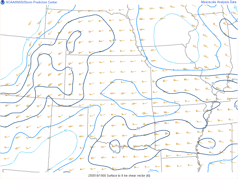
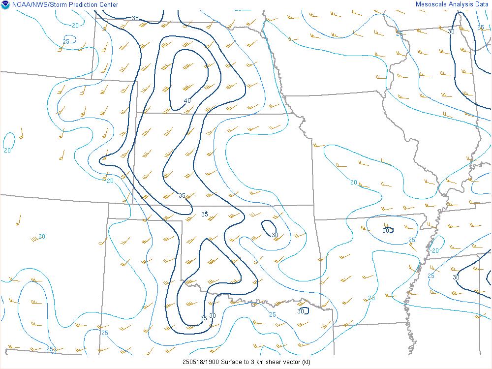
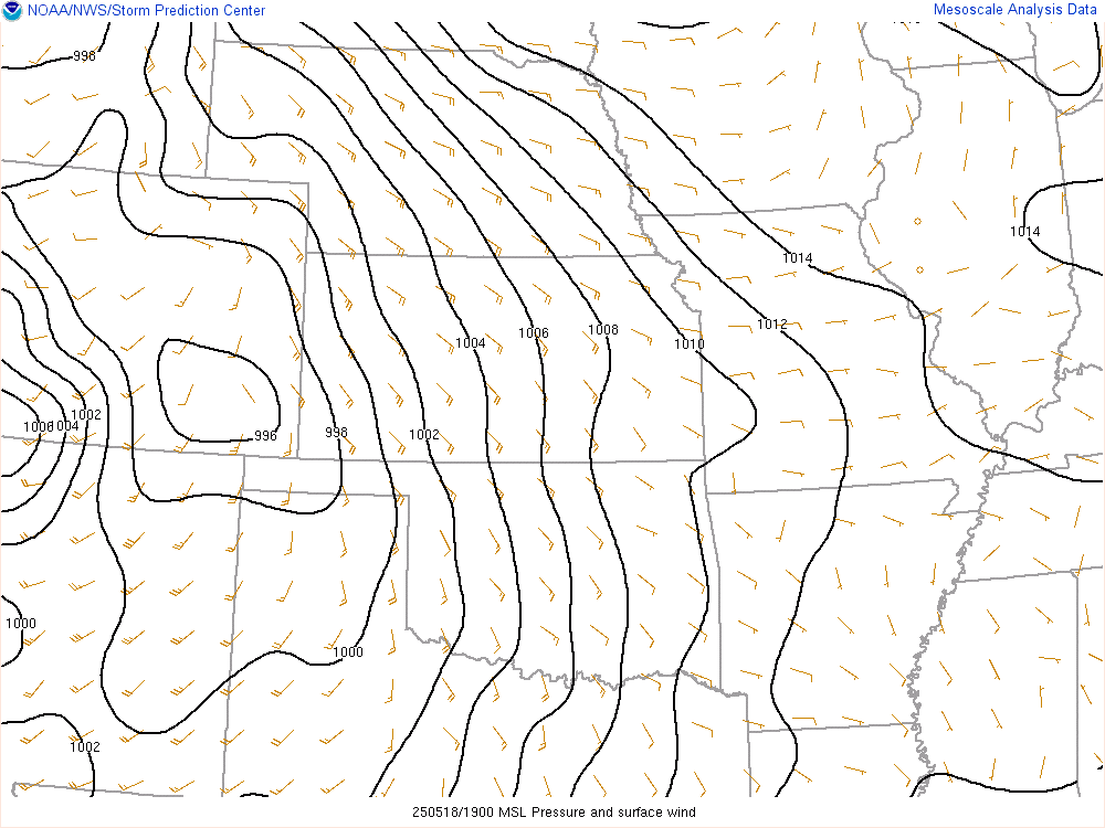
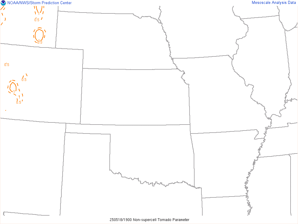
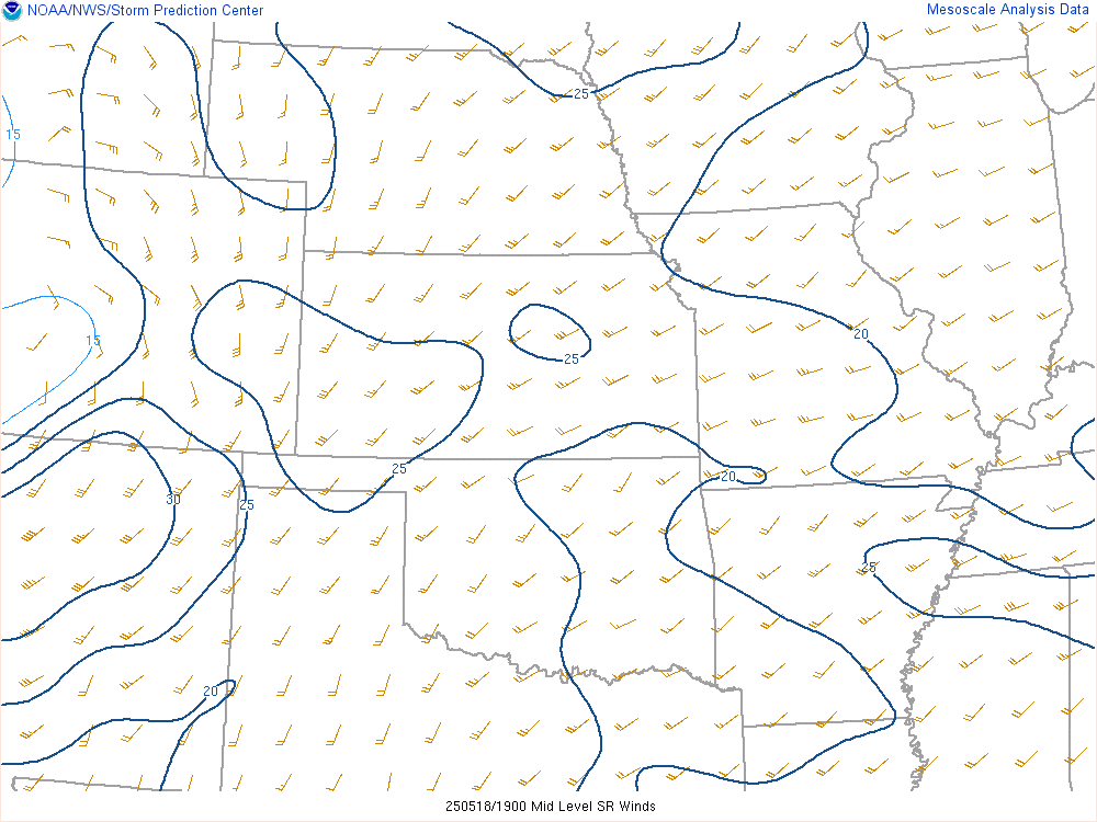
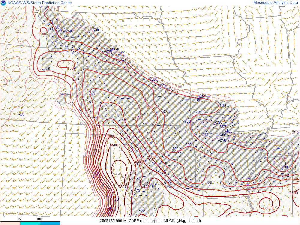
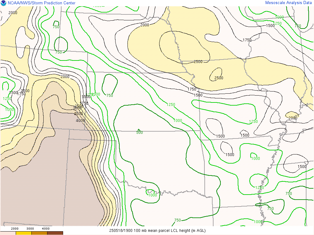
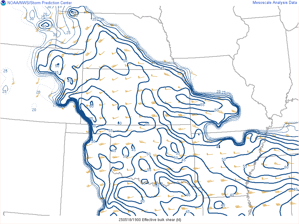
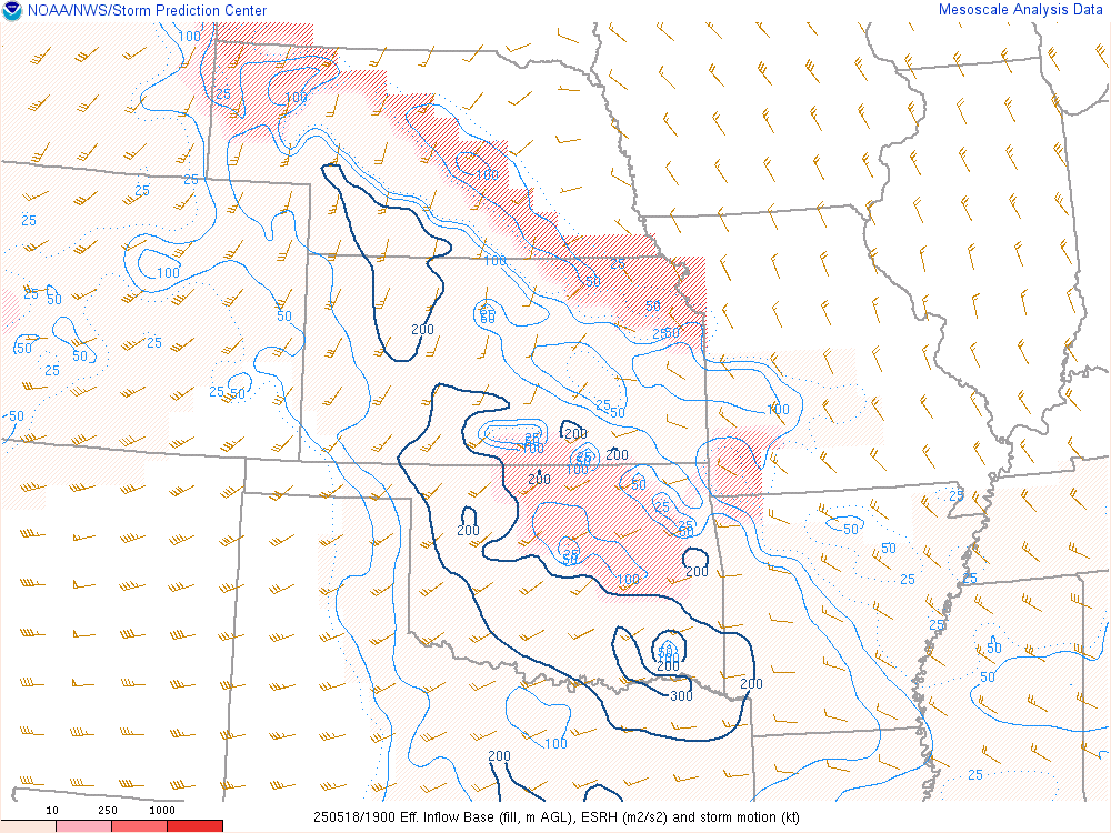
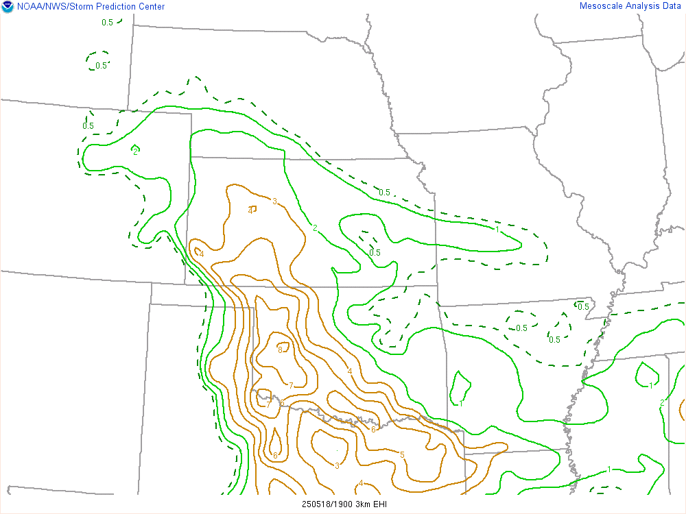
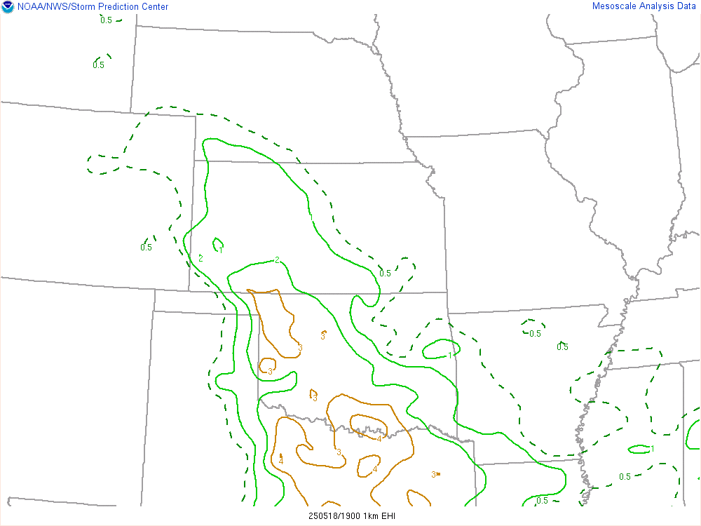
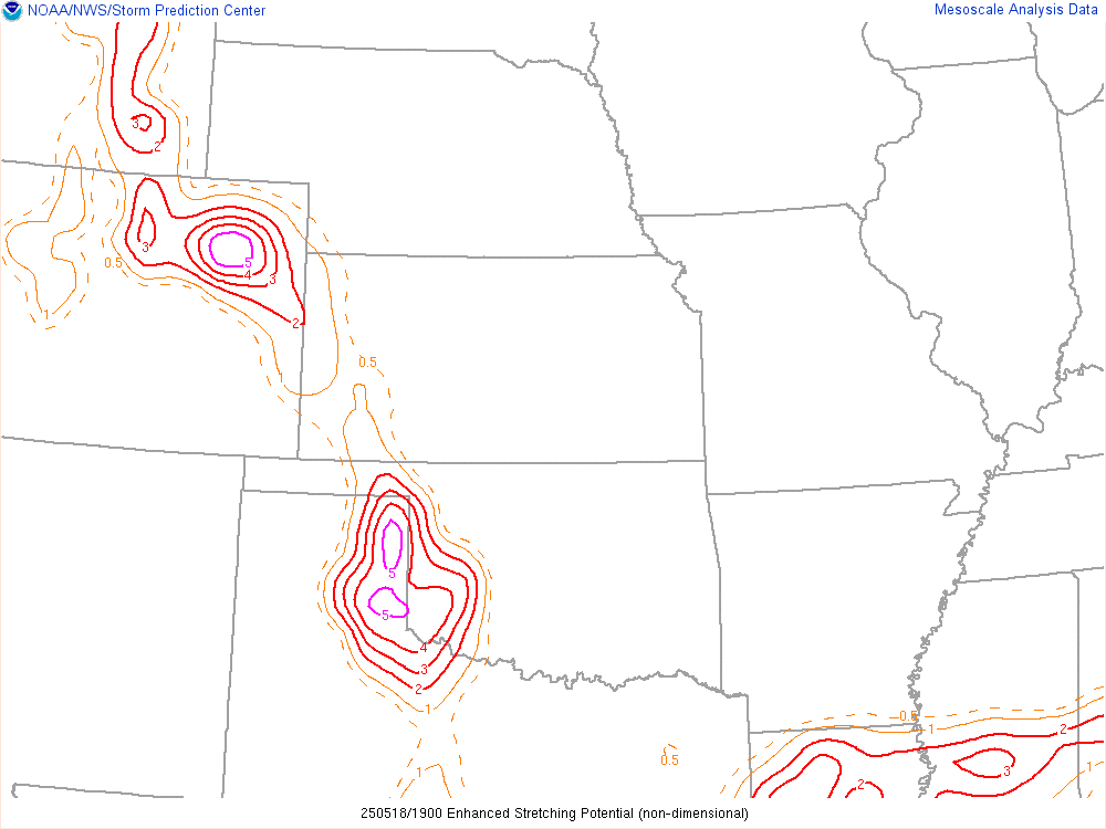
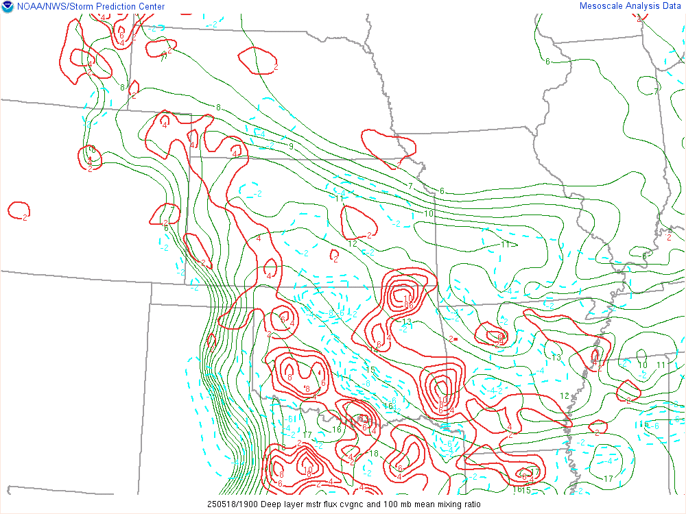
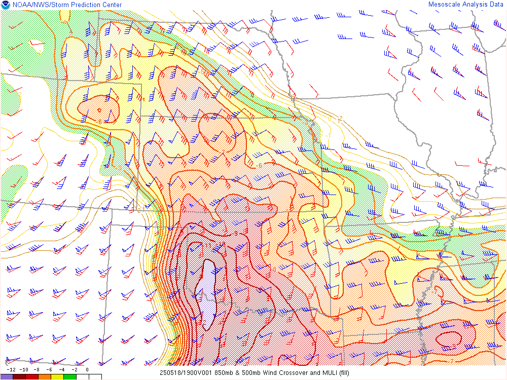
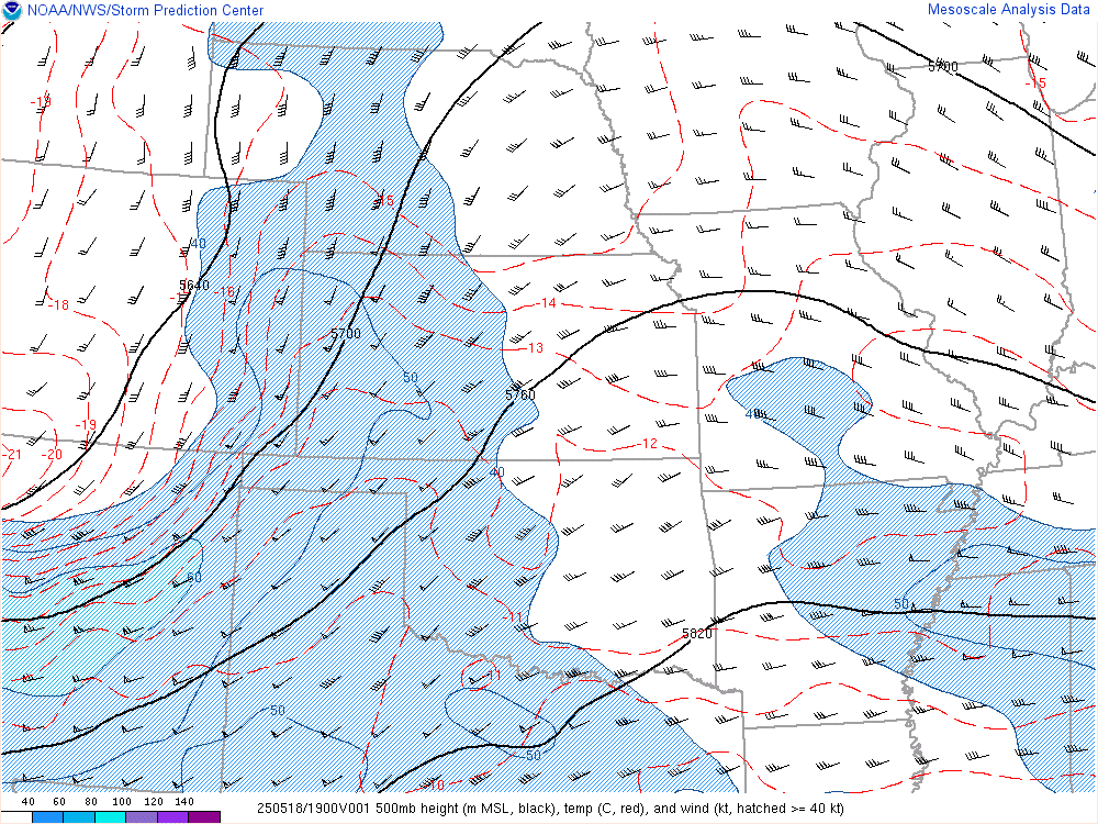
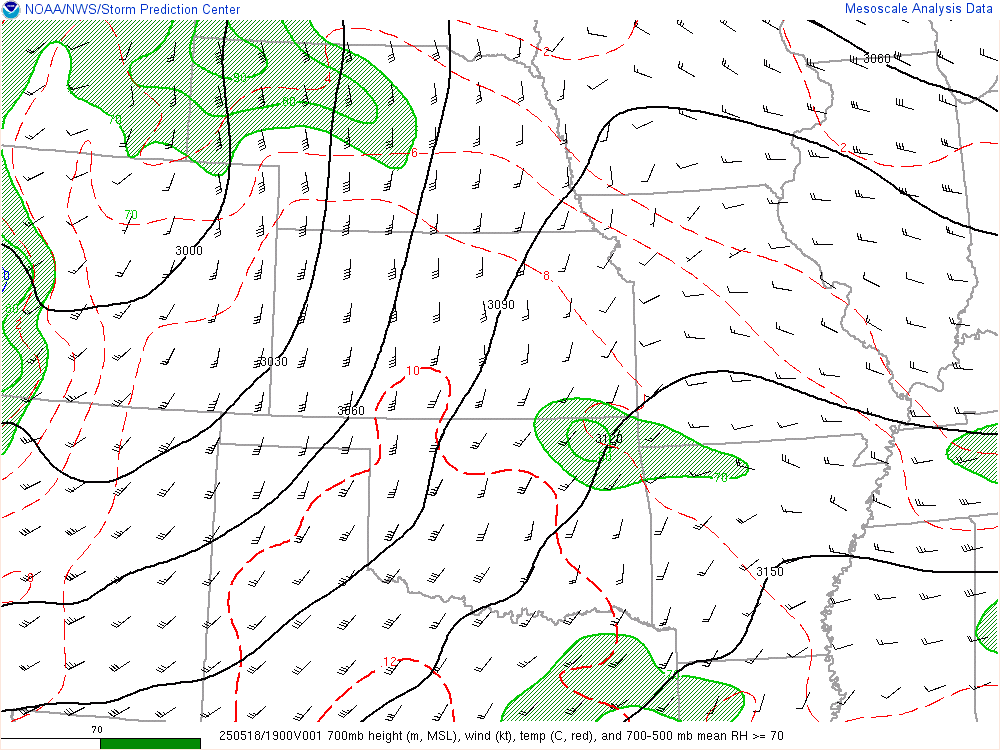
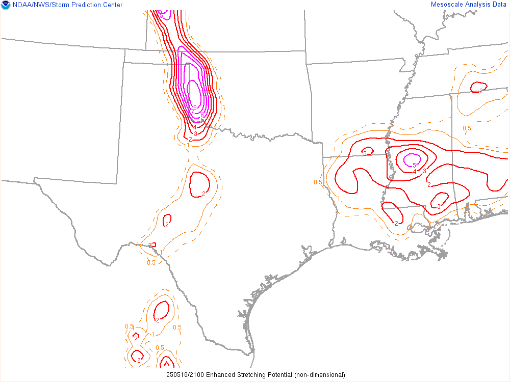
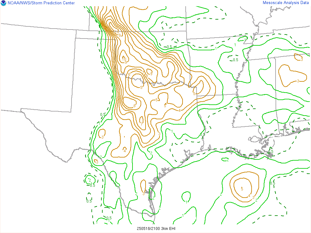
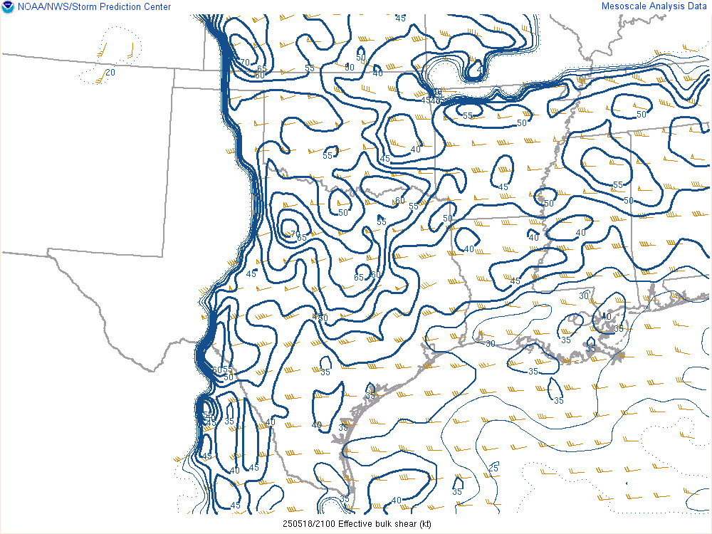
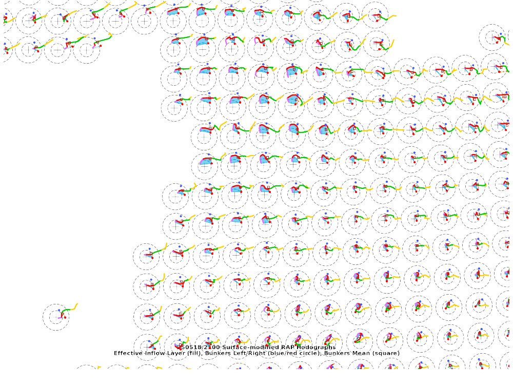
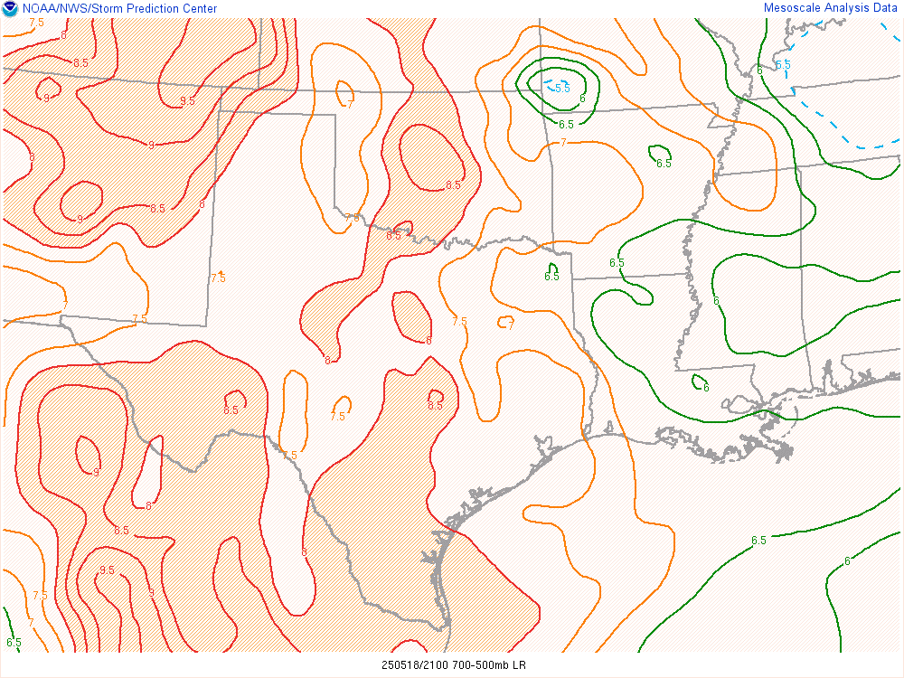
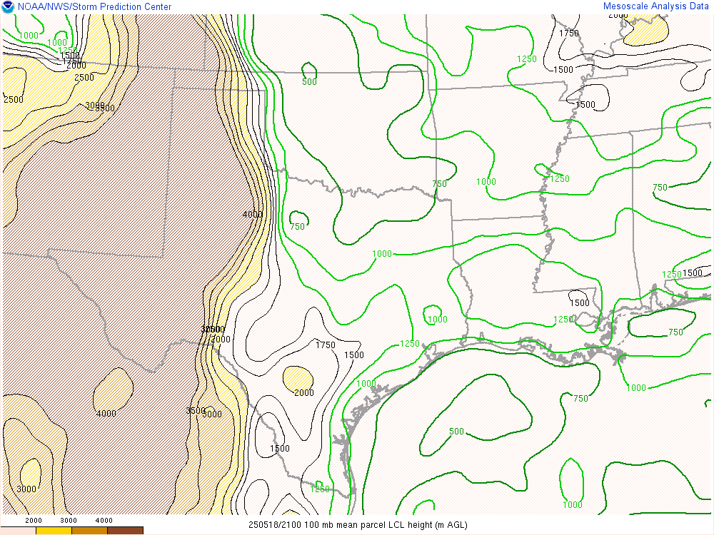
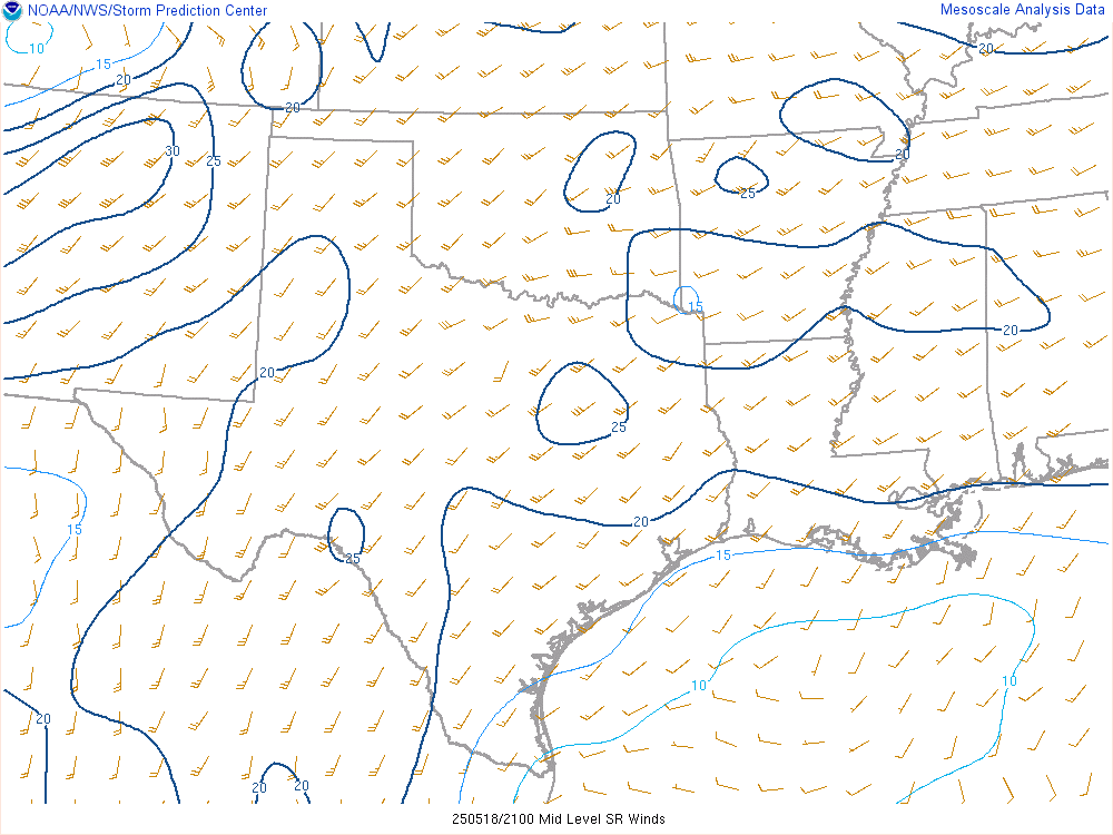
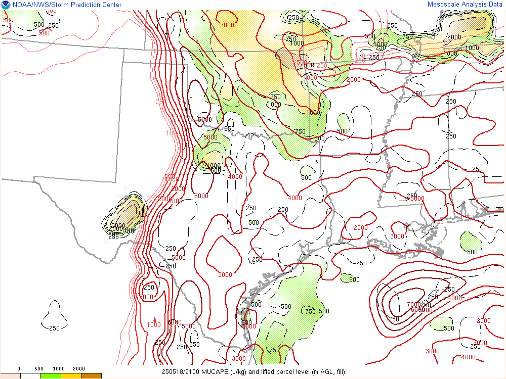
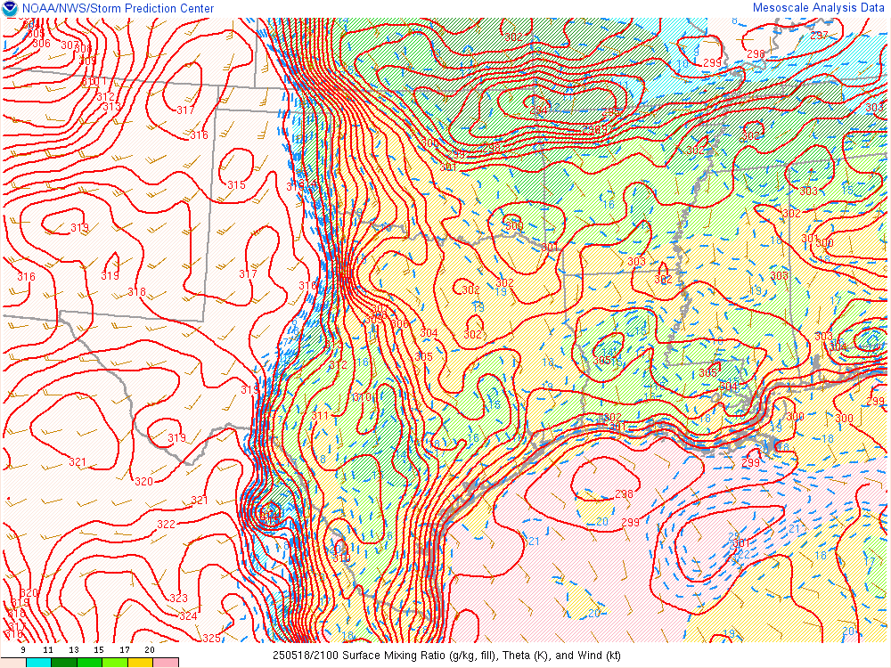
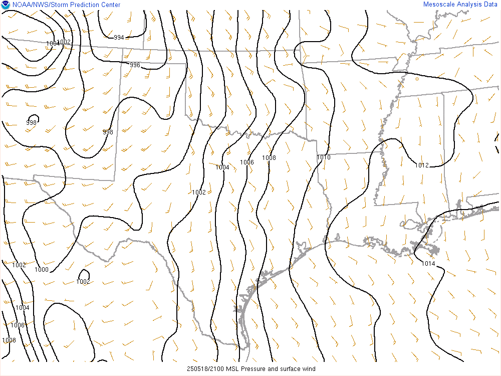
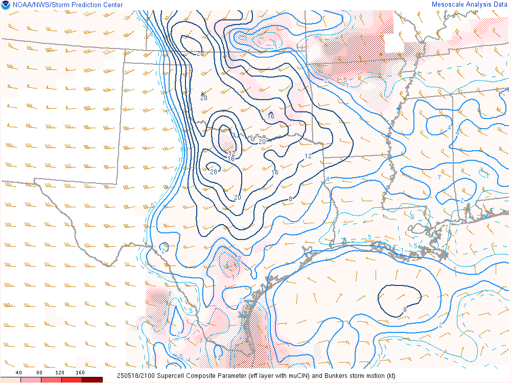
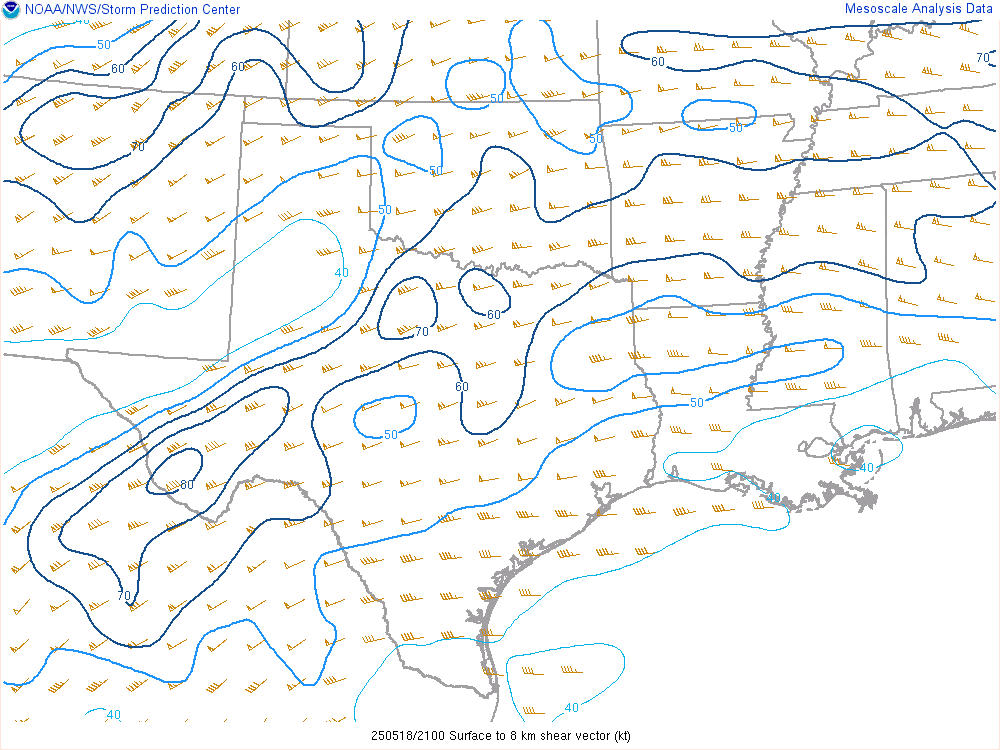
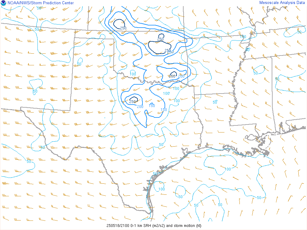
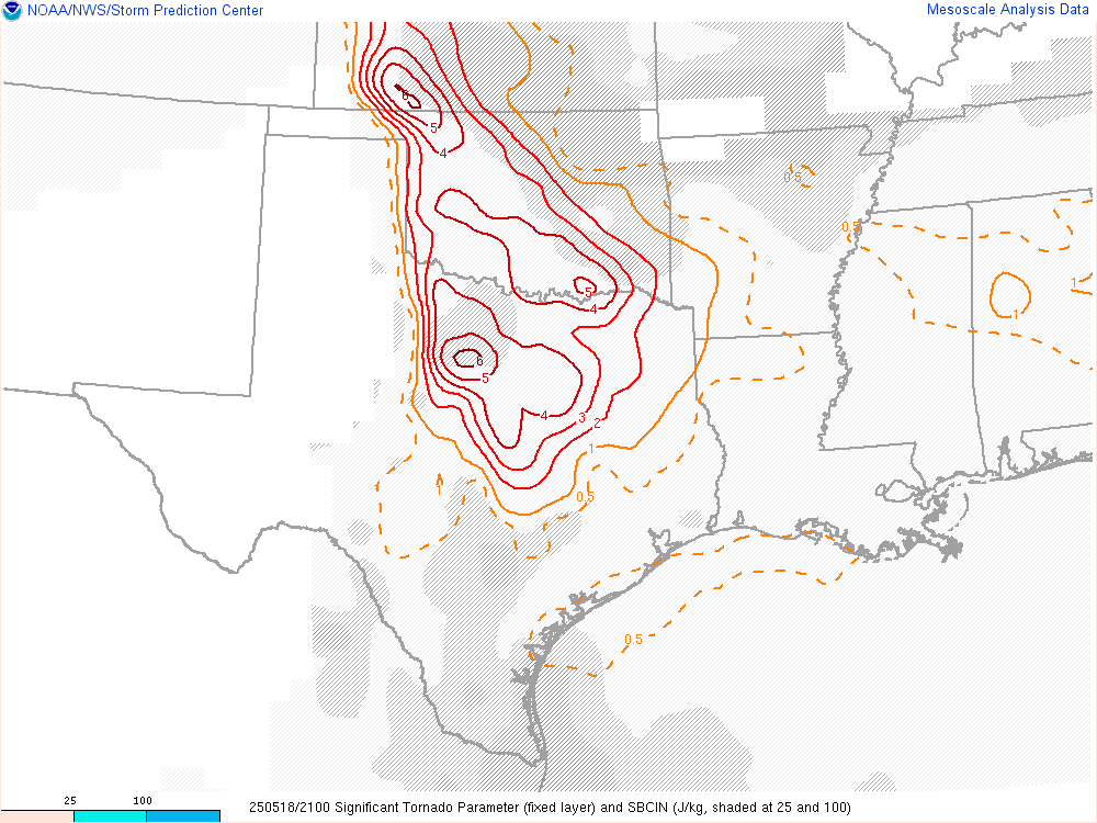
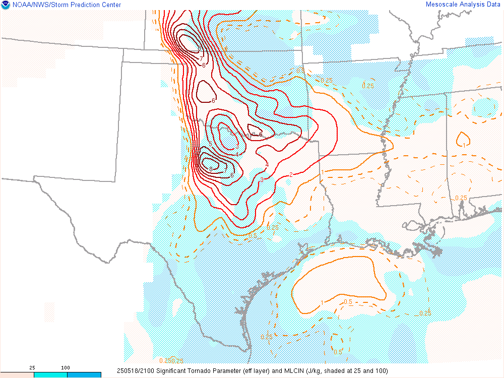
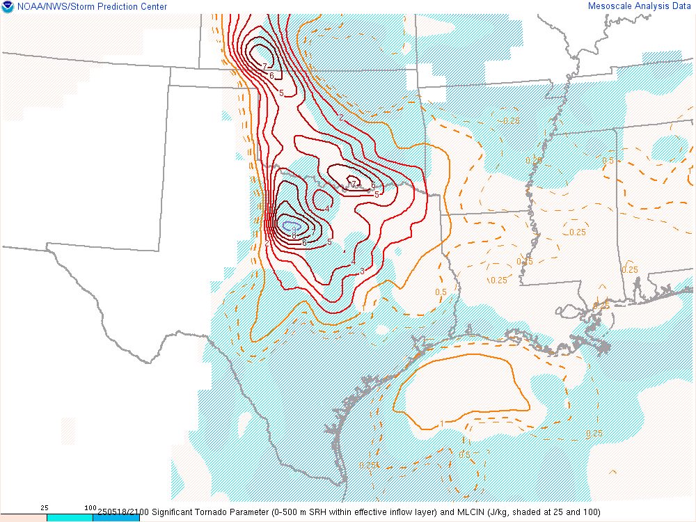
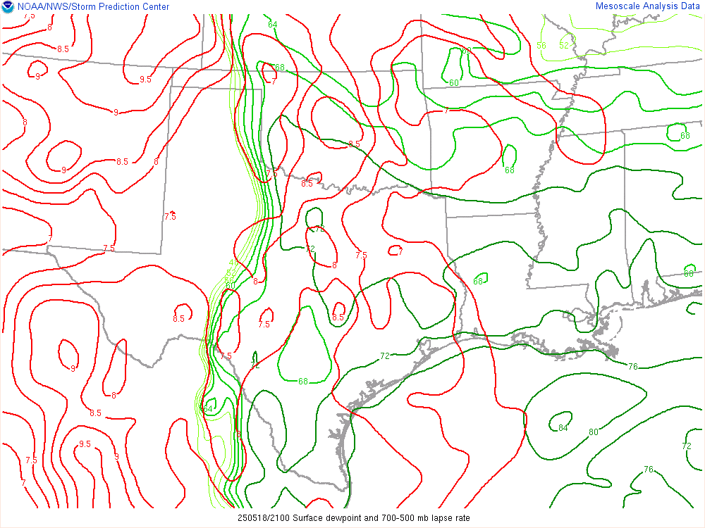
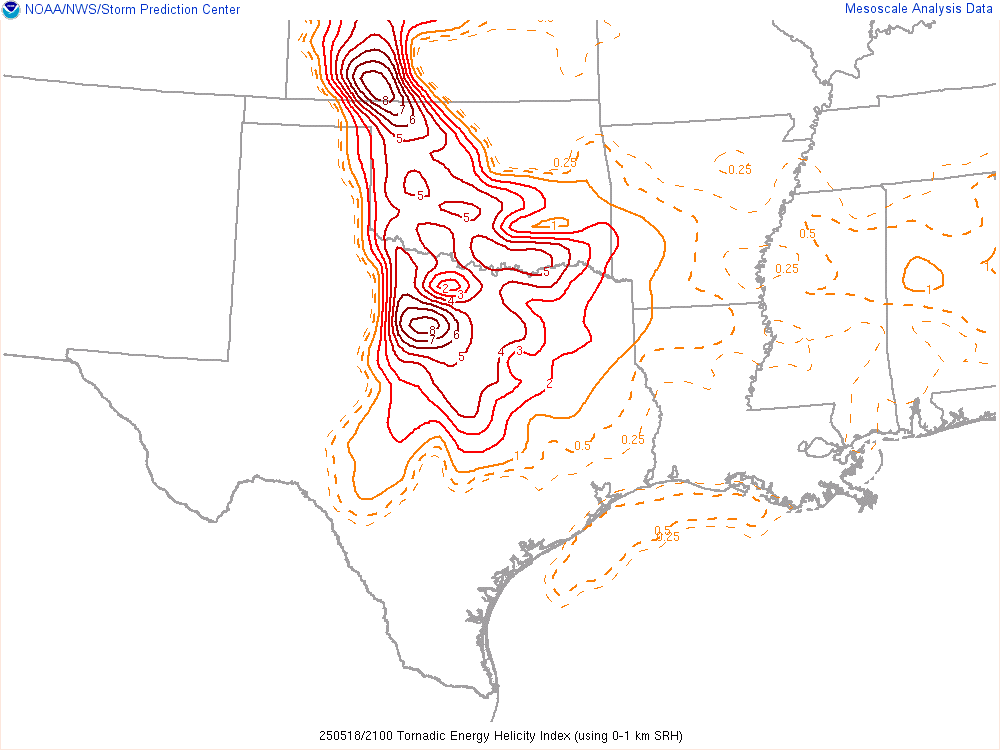
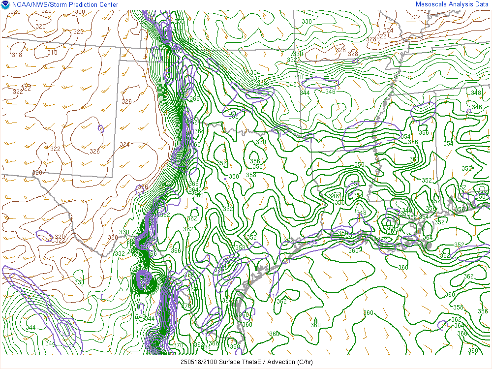
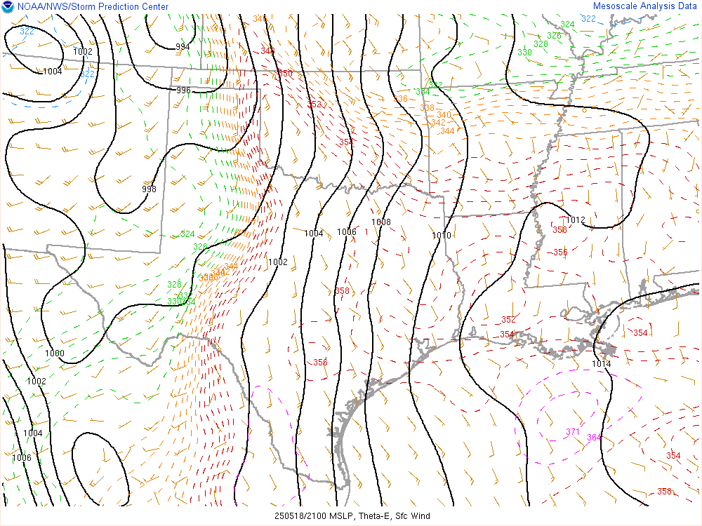
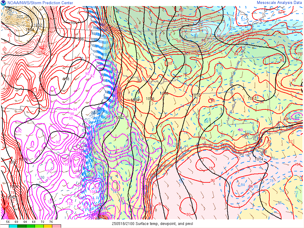
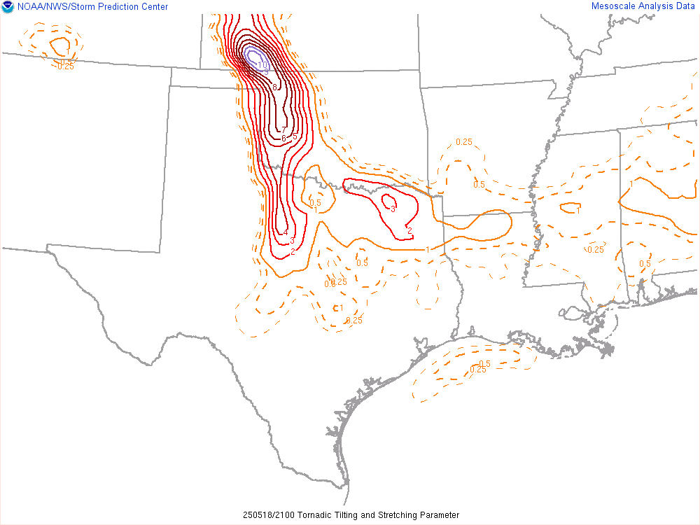
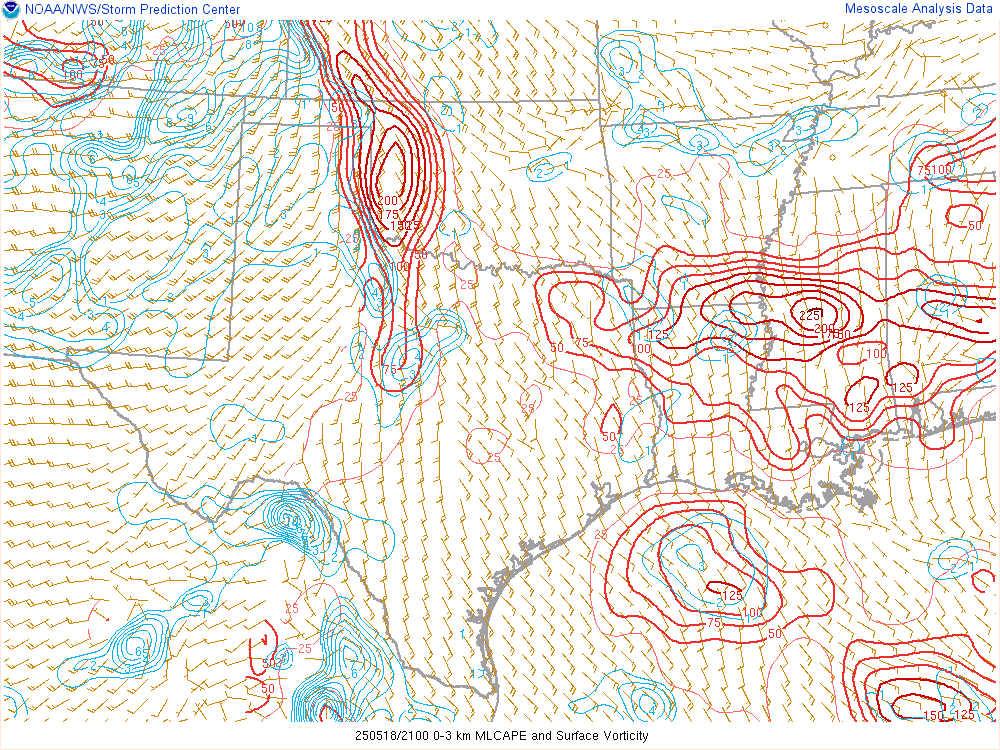
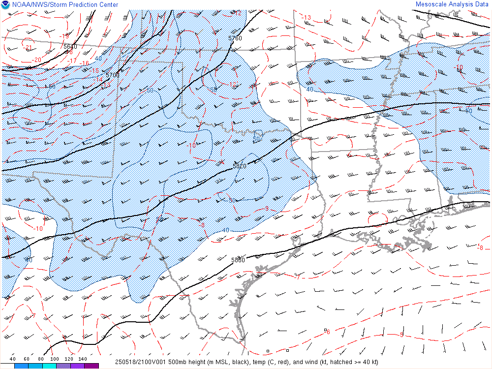
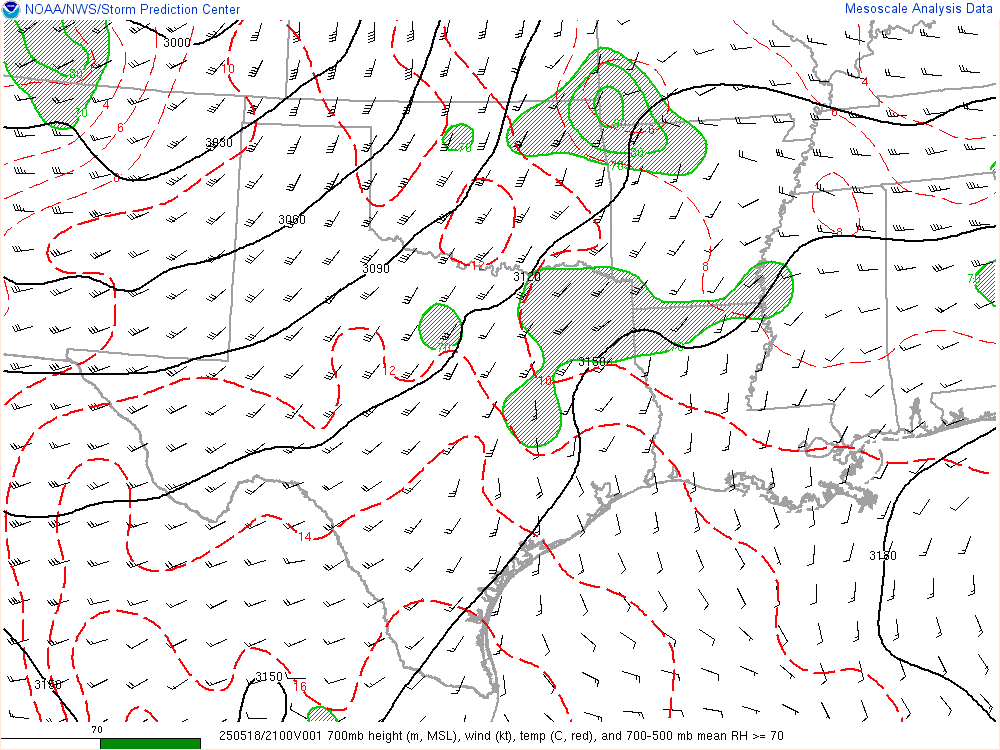
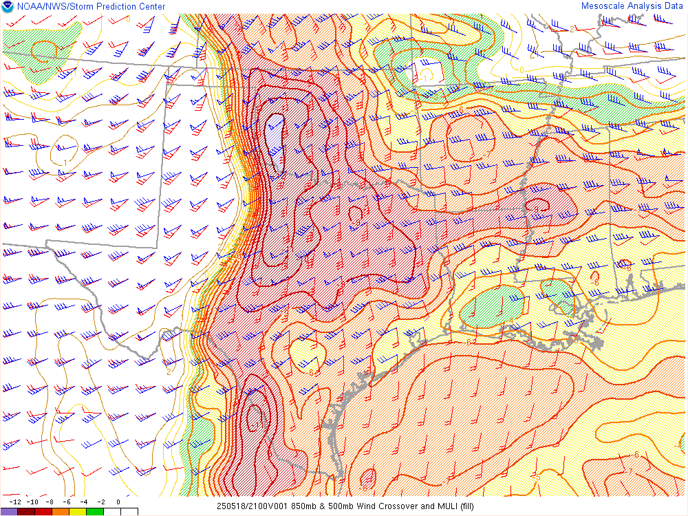
19Z SPC Mesoanalysis


Water Vapor Loop
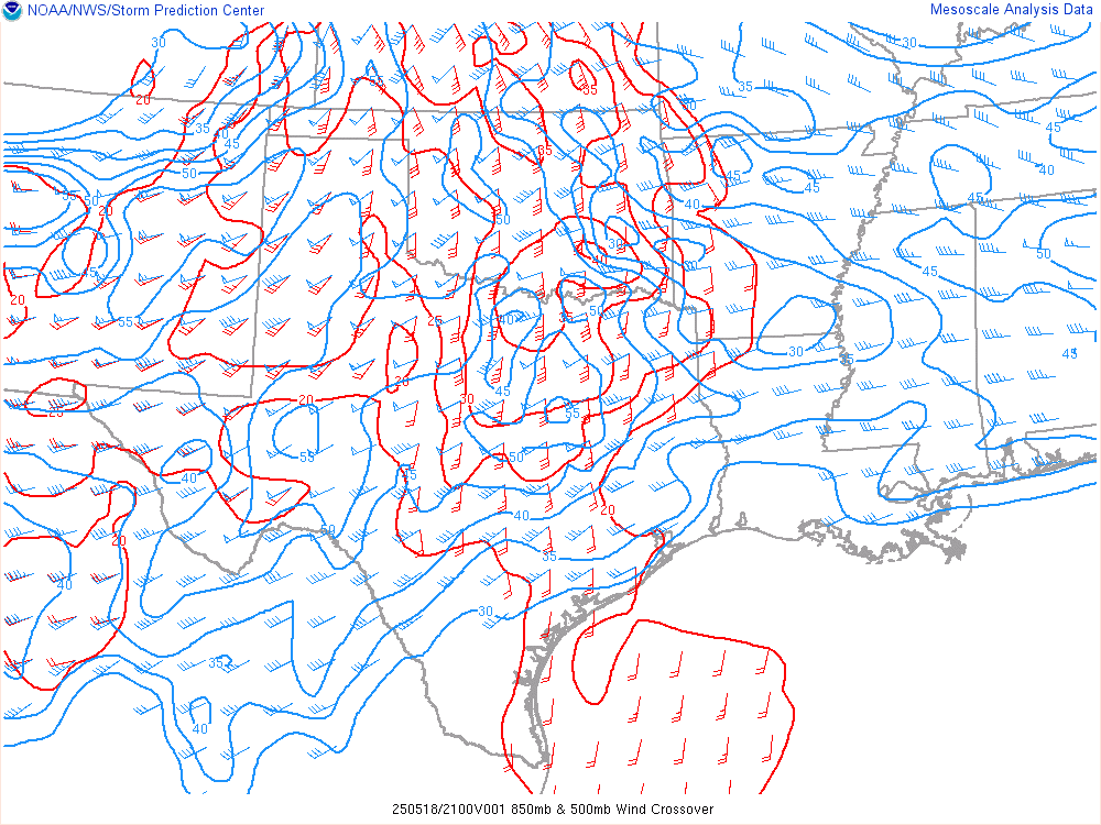
The Water Vapor loop revealed a ski jump jet beginning to slam into Western Kansas and Western Oklahoma. It would be time to head out and go west soon.
Departing Norman
As things became a little more clear, it was time to depart Norman and head west. Initially I headed up to 149th Street to I-44 and down to Highway 37. I took that leisurely drive out to Minco and Tuttle. From there I took highway 152 west to Cordell where we sat and watched the Thunder game on the laptop.
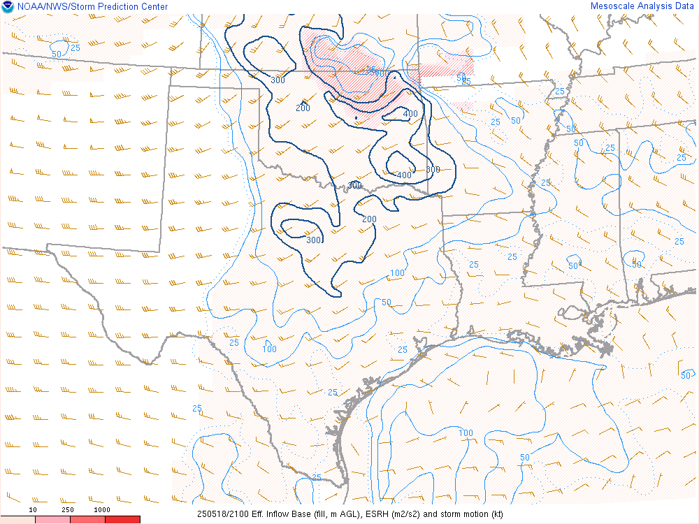
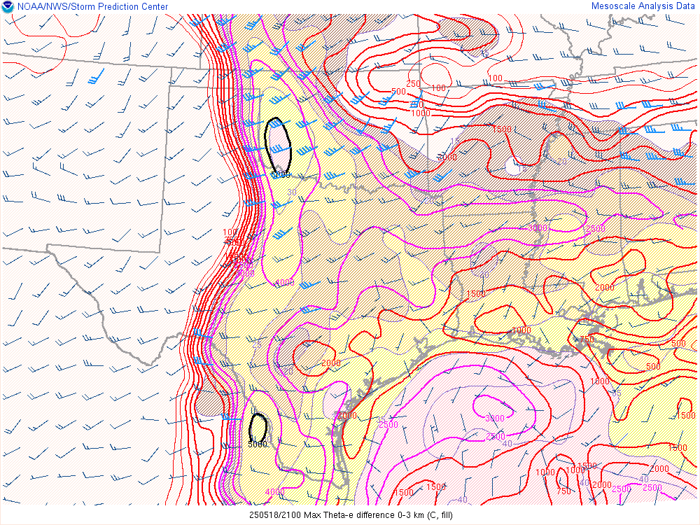
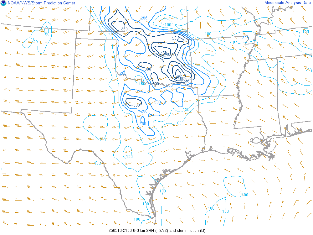
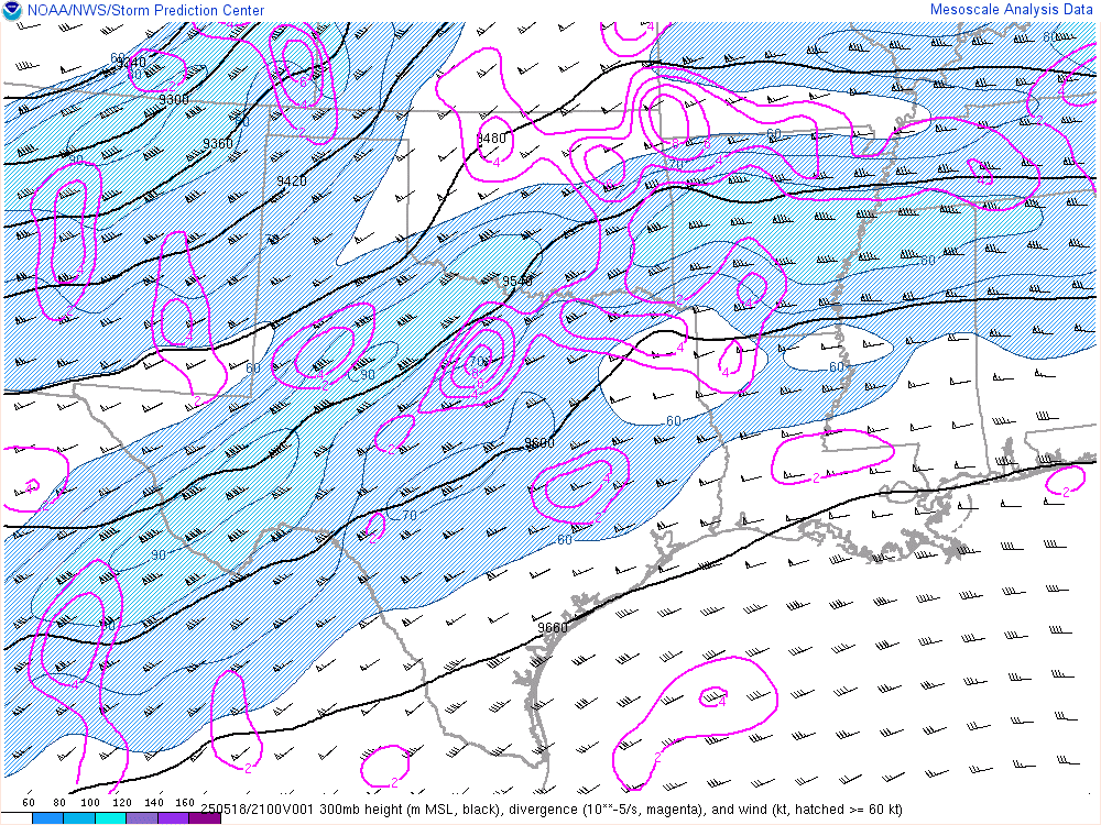
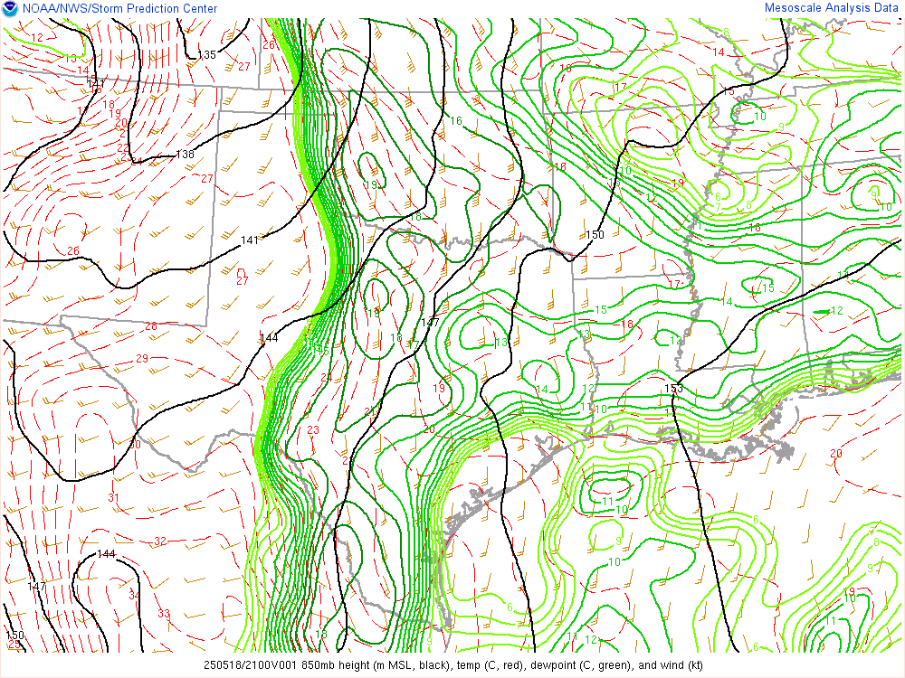
21Z SPC Mesoanalysis and Visible Satellite
I perused the 21z Mesoanalysis as we hung out in Cordell. I continued to watch the cumulus field on visible satellite. The storm up north started firing near Higgins. In retrospect, I should have left towards that storm when it started firing. I was clearly in range and would have witnessed all 5 tornadoes.
Instead, I remained in Cordell waiting. The field of agitated cumulus near Hollis kept my attention longer than it should have. I knew if a storm did indeed fire, we’d be all alone on a great storm. As I continued to watch the storm to our north mature, I knew I’d need to get north.

We headed north on US183 through Clinton and continued north towards Seiling.
Arnett Oklahoma Tornado
As we turned west on US60 just before 5:30, the Arnett supercell would slowly grow bigger in the windshield. The fifth and what would be the final tornado was on the ground as we arrived into Arnett.
We pulled off onto the dirt roads north of Arnett where we quickly ran into some gigantic hailstones laying on the ground.

Traffic Jam
We quickly found every other chaser on the planet on a poor dirt road north of Arnett. The next hour or so was spent stuck in chaser traffic as the storm evaporated away to nothing. We gave up on the day just east of Woodward near Mooreland and started our journey back towards Oklahoma City.
We’d stop at Buffalo Wild Wings to get a bunch of wings while wedges were ongoing in the nocturnal storms in Kansas. Ah well, I guess I would have busted on Greensburg day. Extremely frustrating day.
Links
- Stormtrack Reports thread for May 18, 2025
- ChaseArchive for the Arnett Tornado
- Brett Roberts write up of the Arnett Tornadoes
- Tony Laubach’s May 18, 2025 Chase Recap
- Dan Robinson’s write-up of his May 18, 2025 Chase
- John Farley’s May 18th Recap


