Storm Chase Details
Miles Logged: 203
States Chased: OK
Tornadoes Witnessed: 1
Severe Risks: SPC Outlooks

Severe Reports: Storm Reports
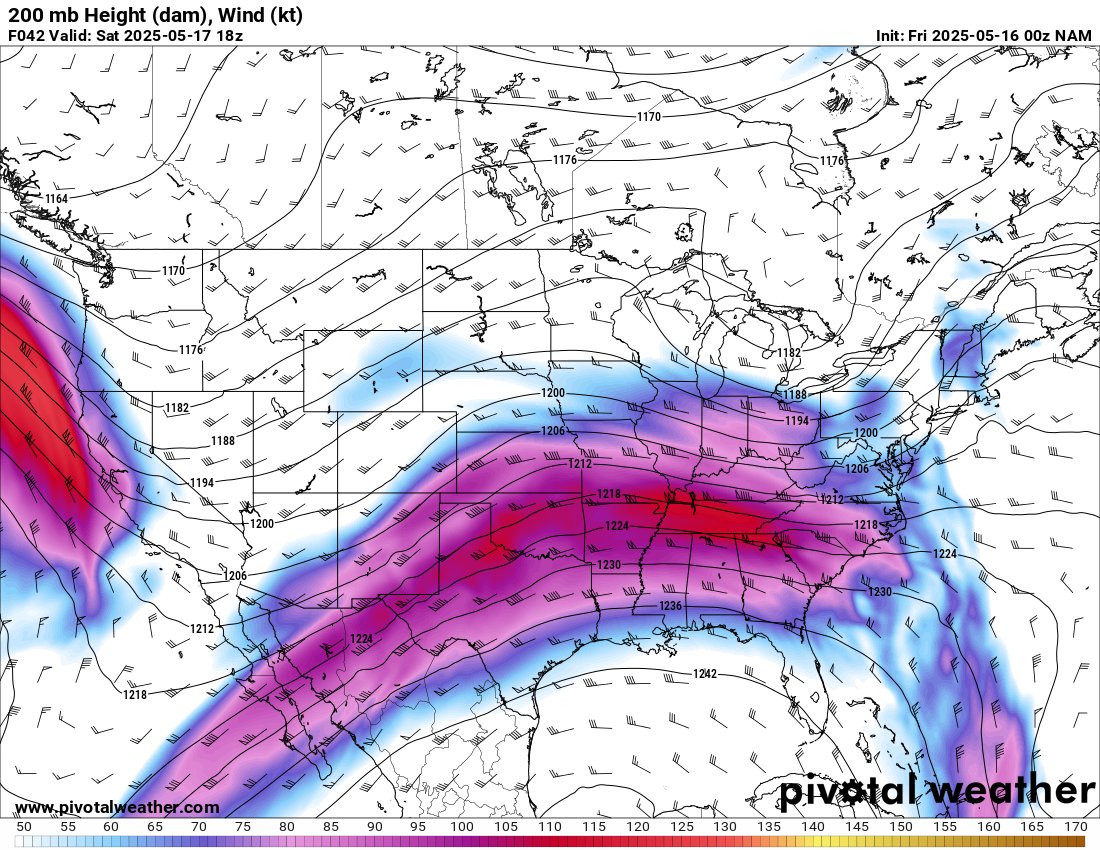
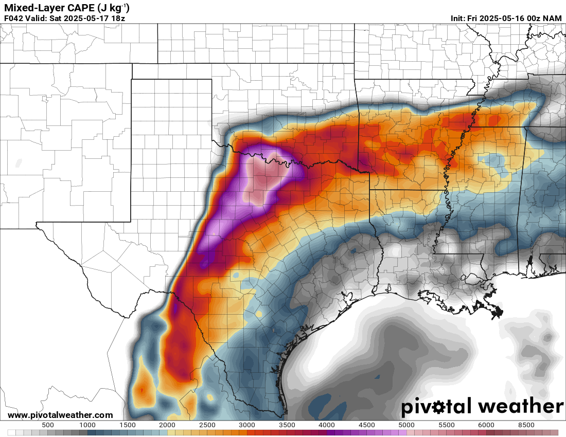
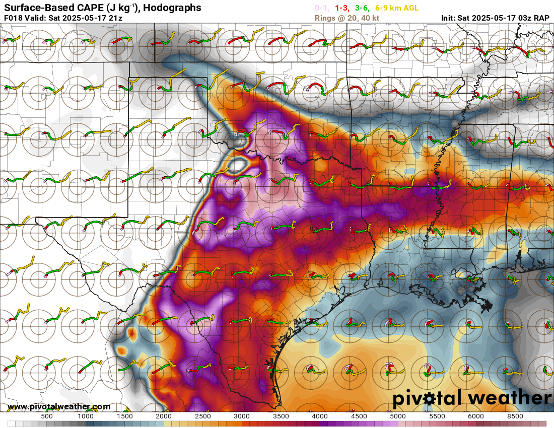
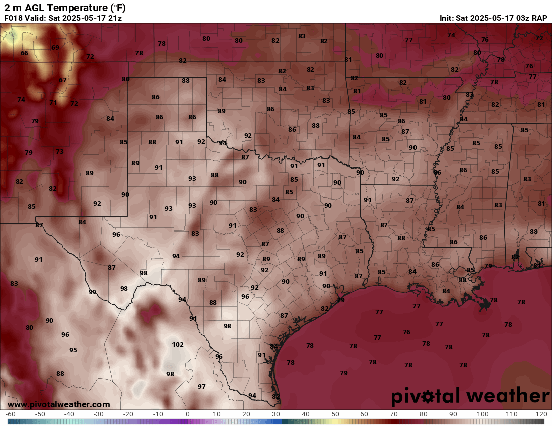
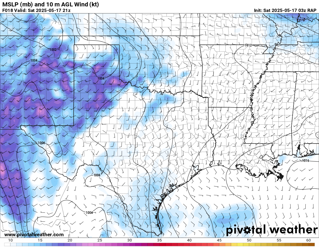
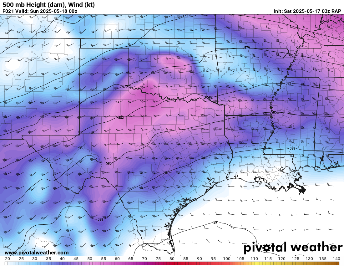
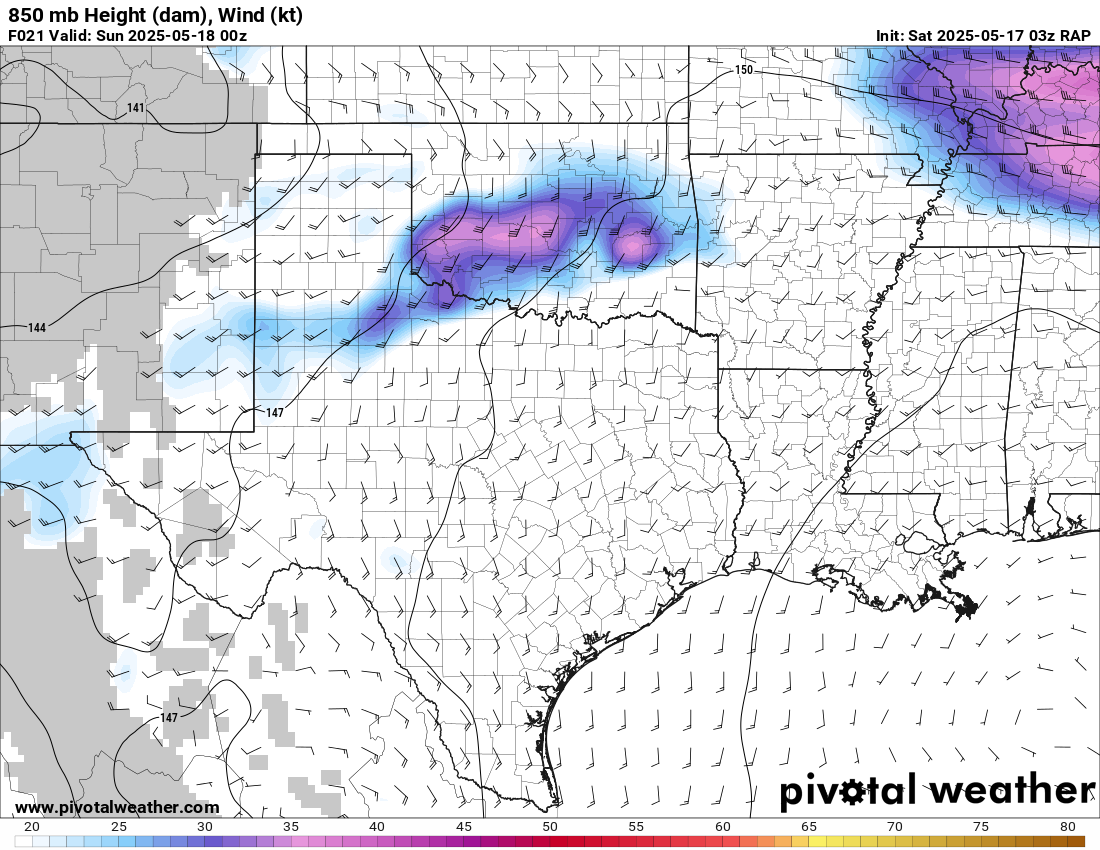
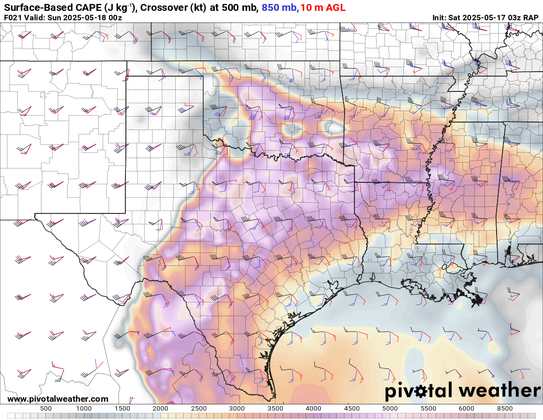
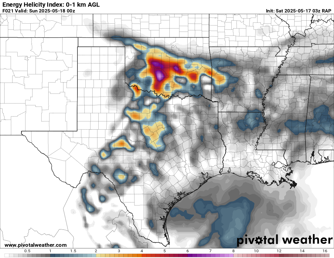
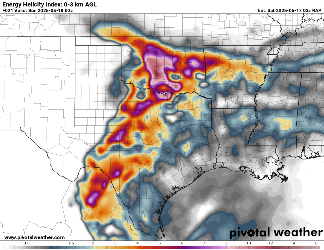
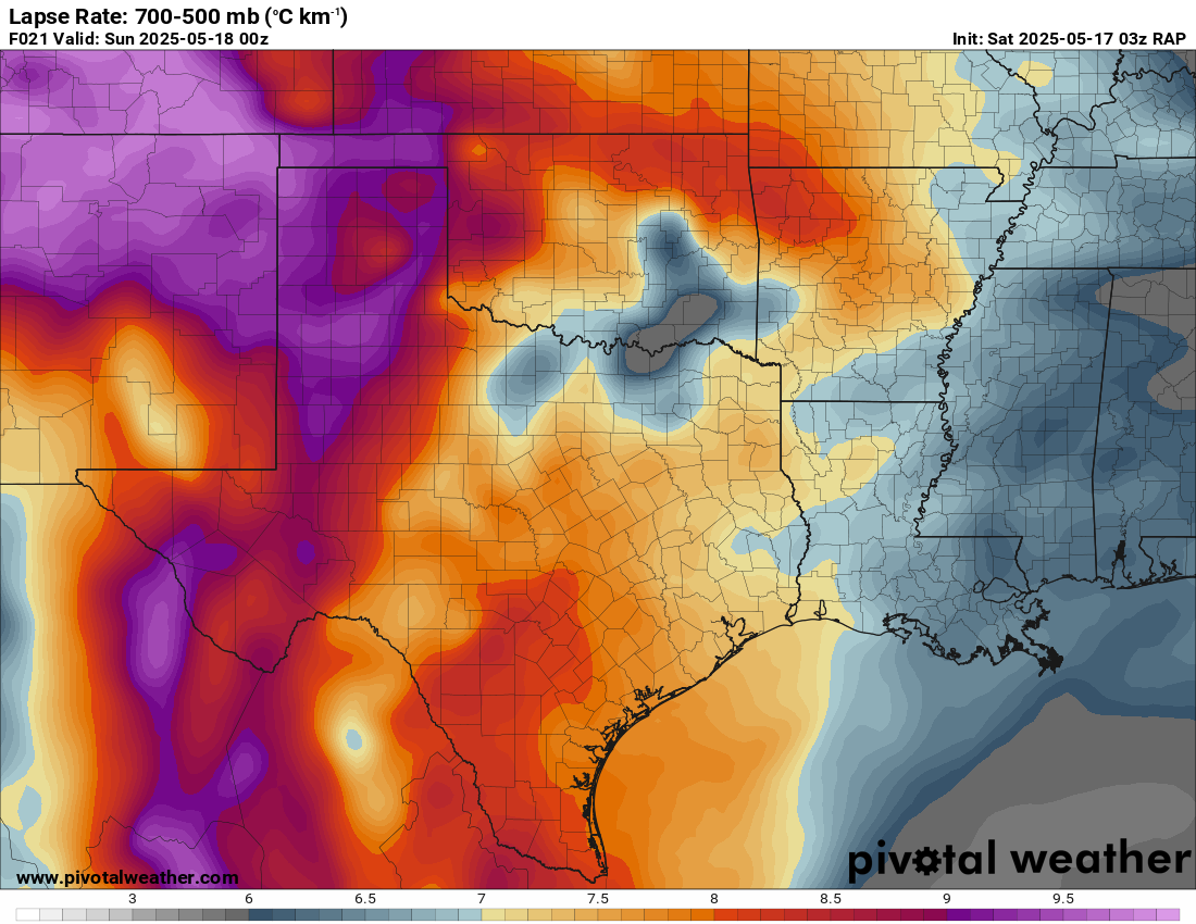
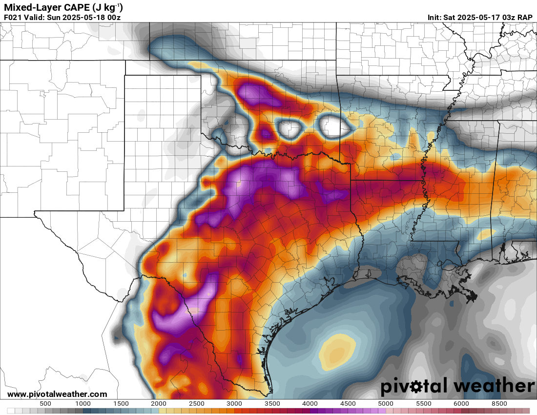
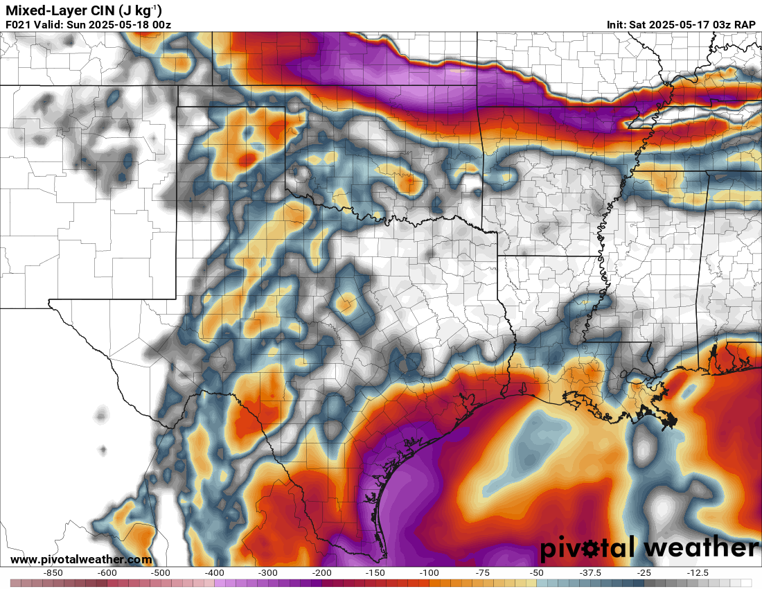
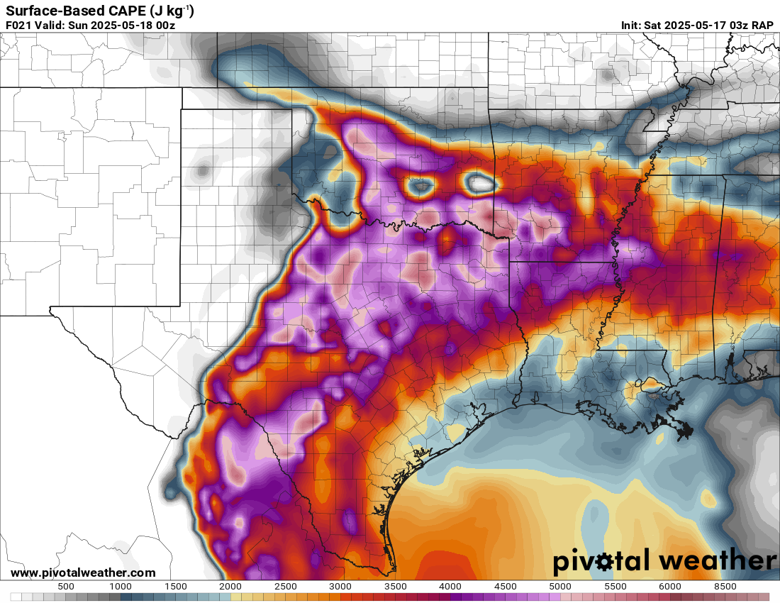
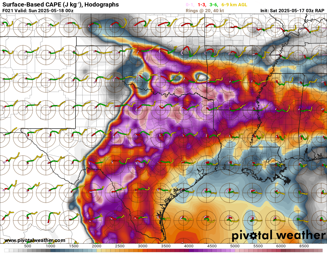
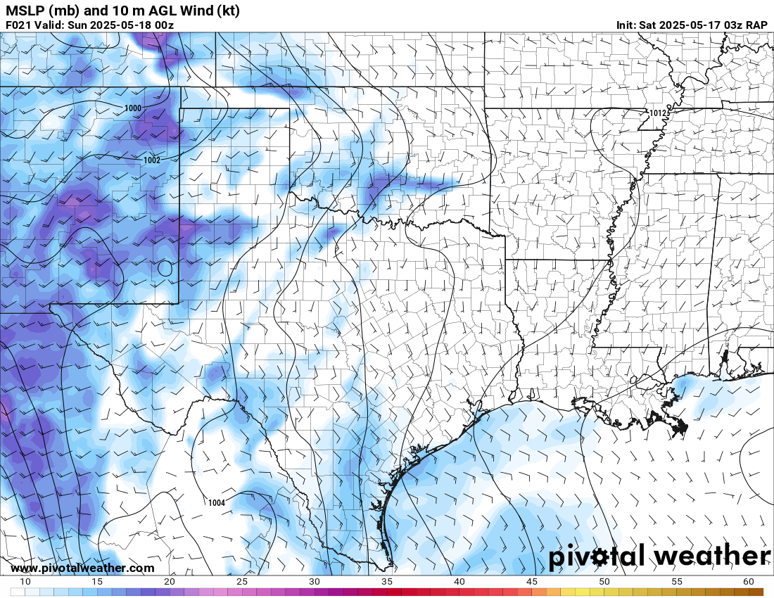
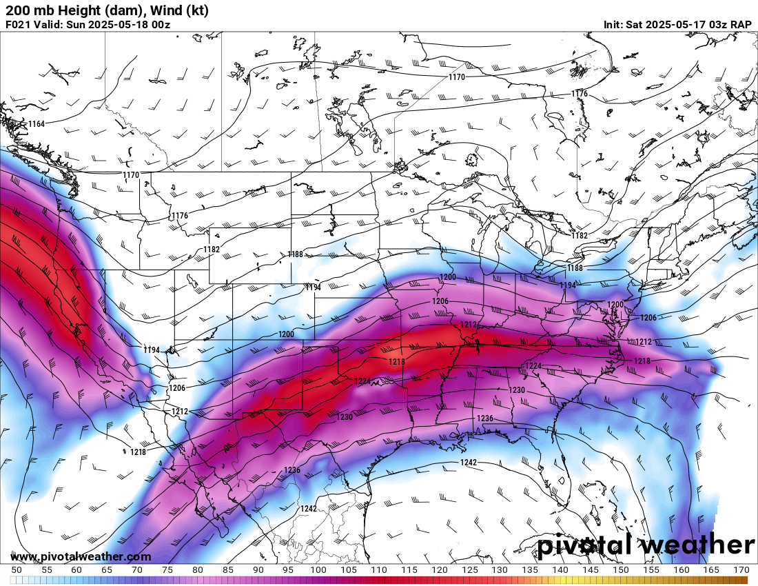
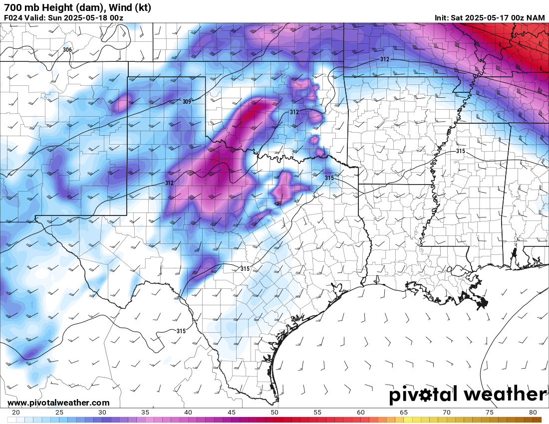
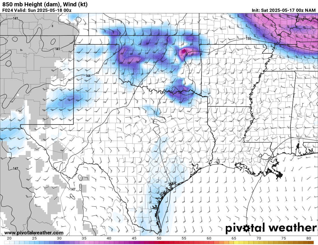
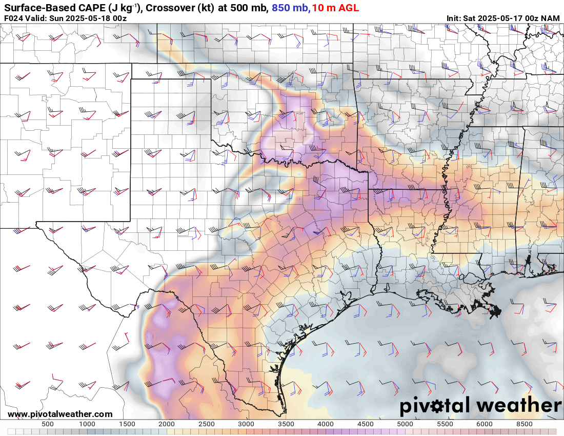
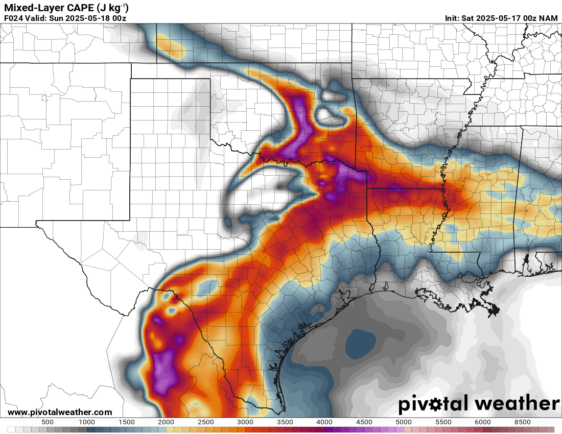
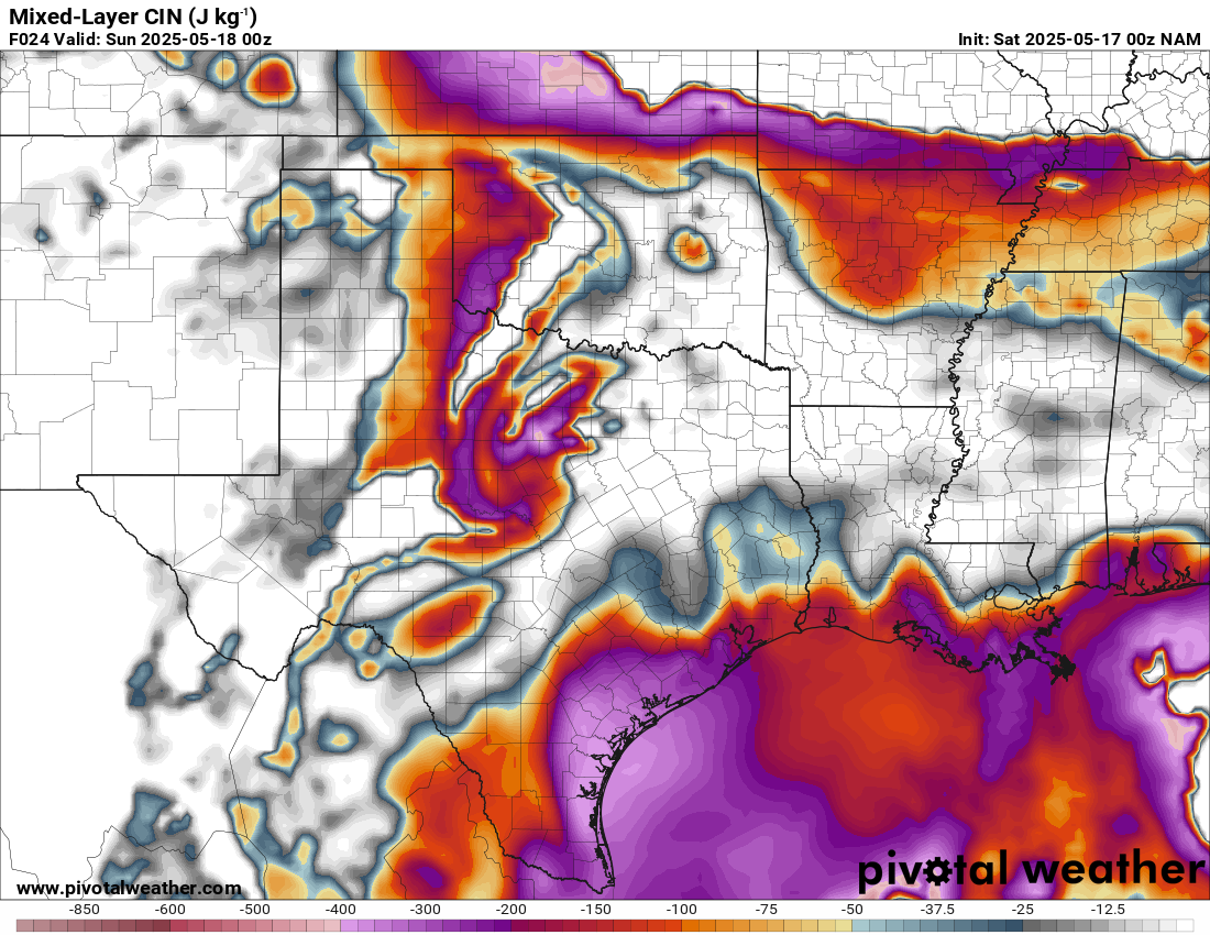
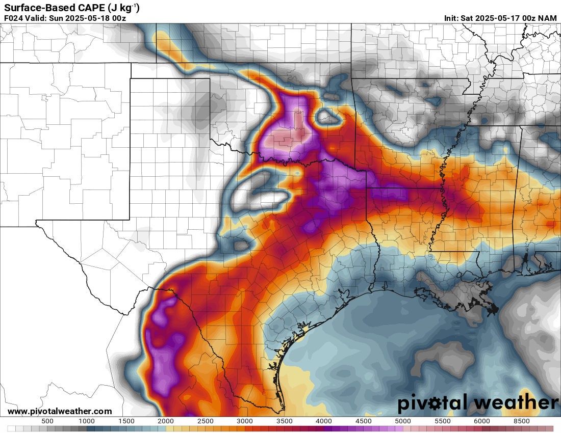
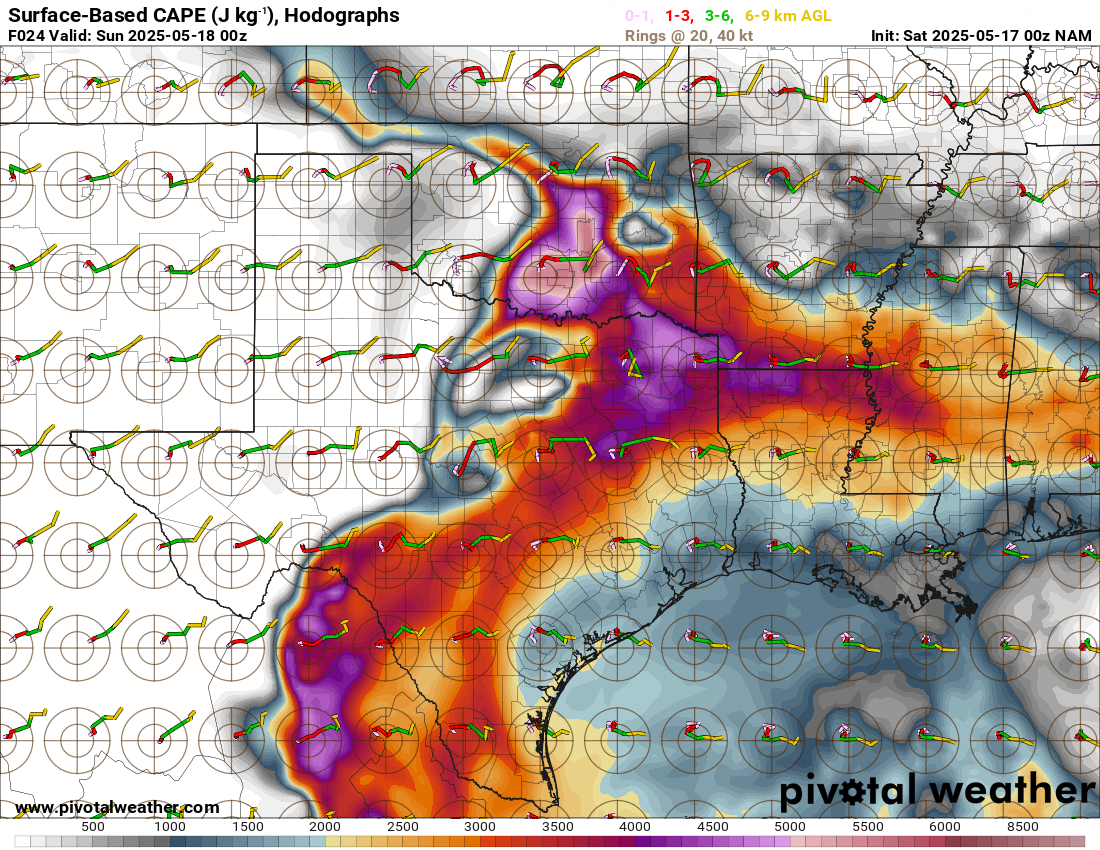
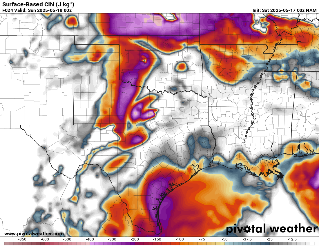
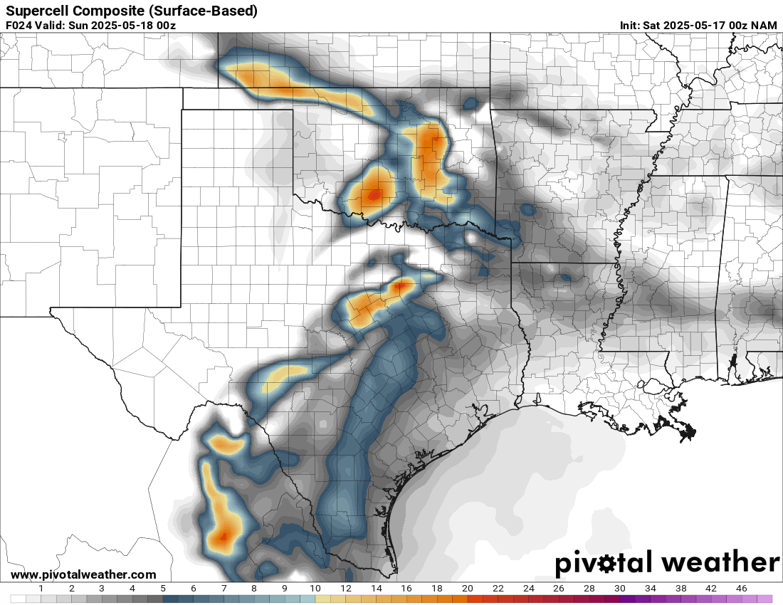
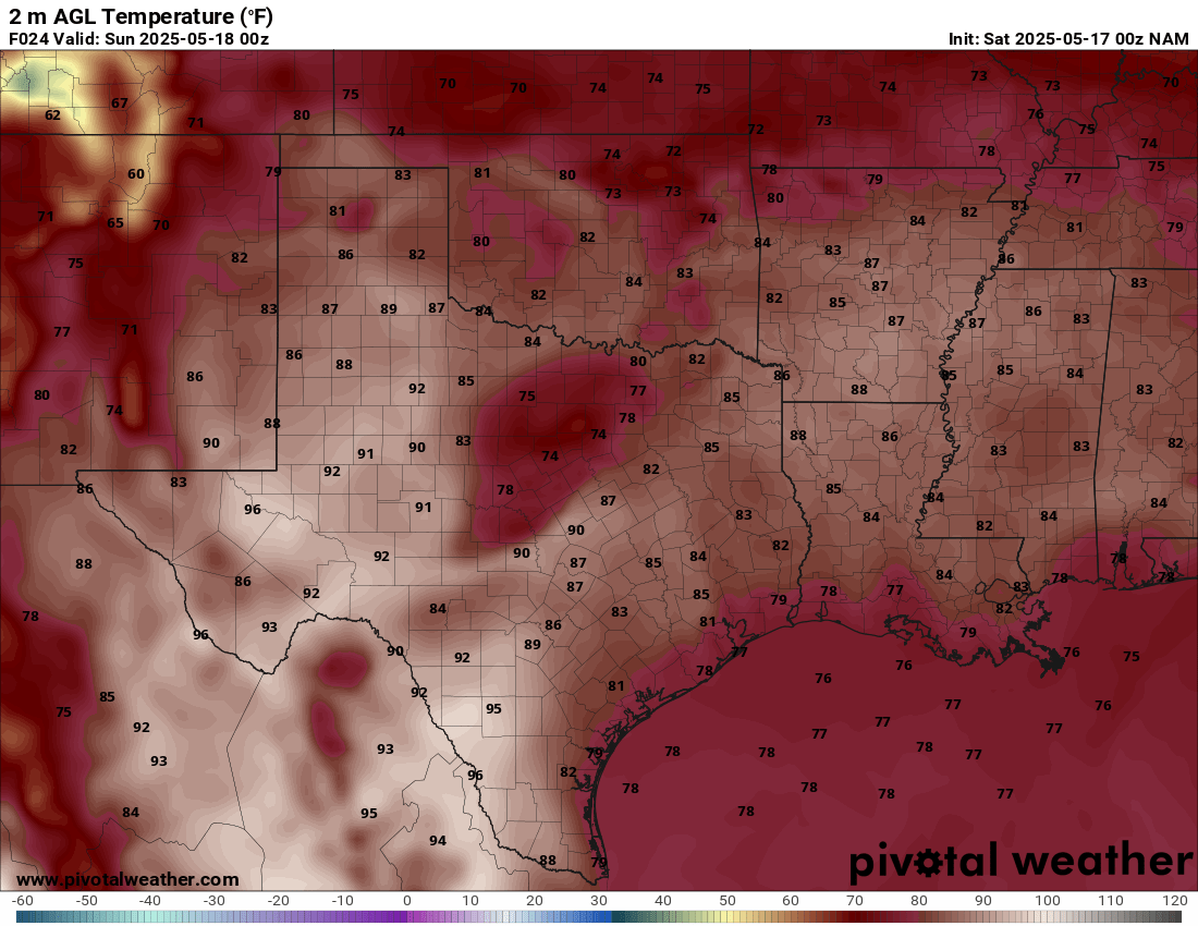
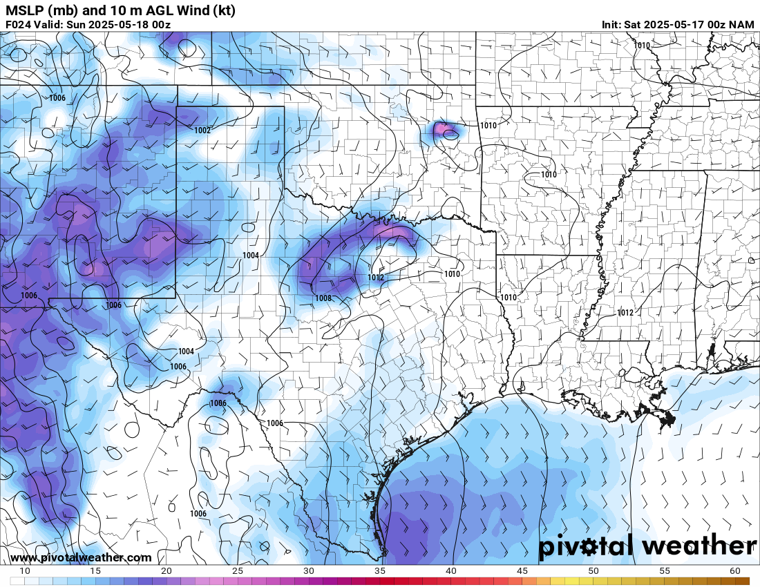
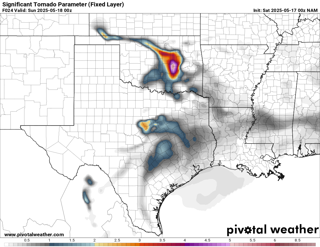
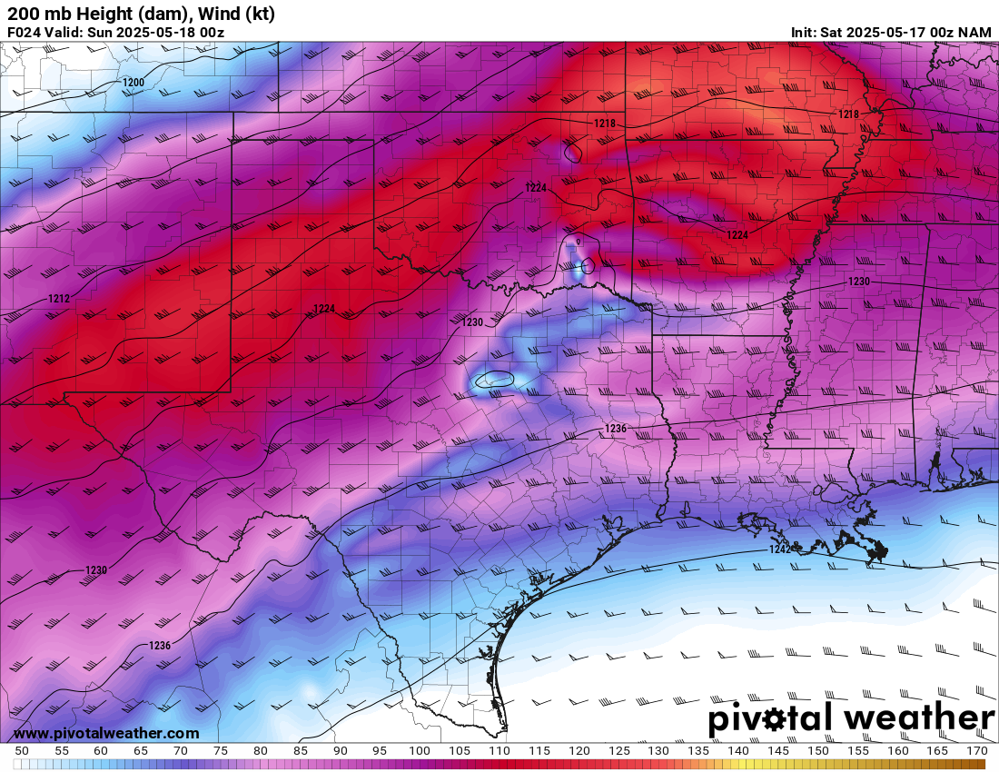
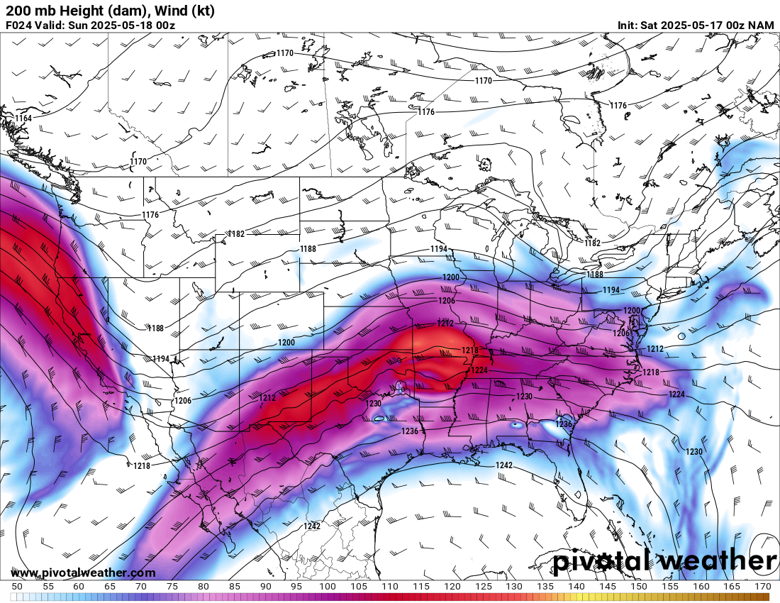
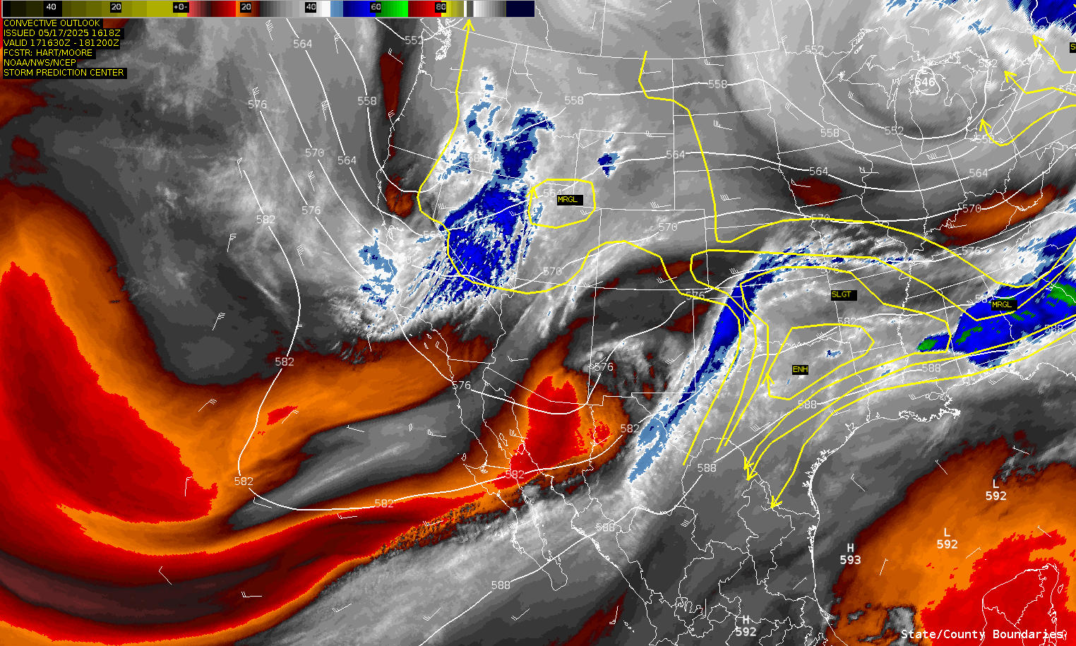
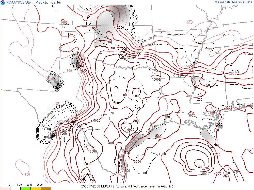
I opted to skip chasing the previous day, the 16th near Sikeston, MO, in lieu of multiple days in Oklahoma. The 17th appeared to be the first day of a multi-day severe weather episode across Oklahoma. Forecast models showed the upper jet stream in excess of 100 knots overspreading an area of extremely moist/unstable airmass across Central Oklahoma.
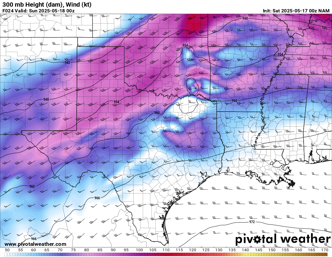
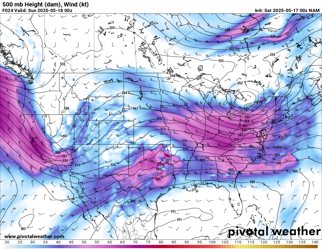
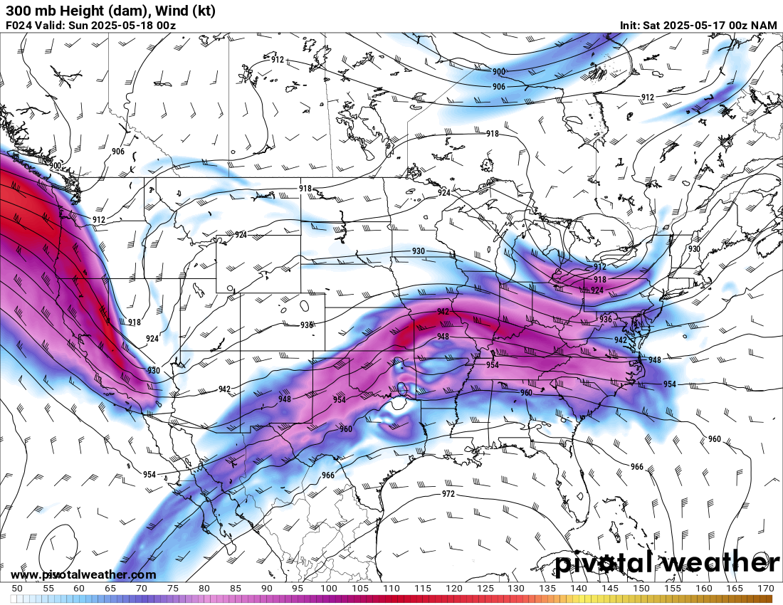
Forecast
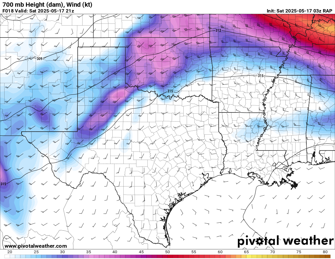
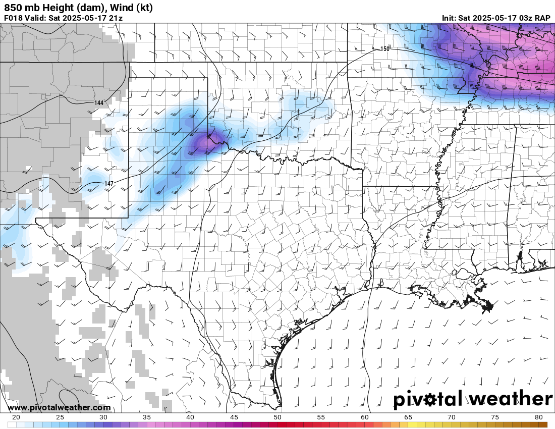
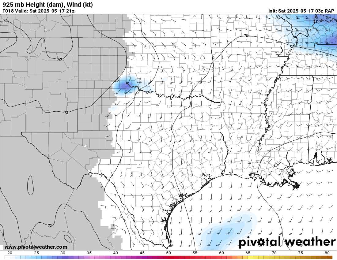
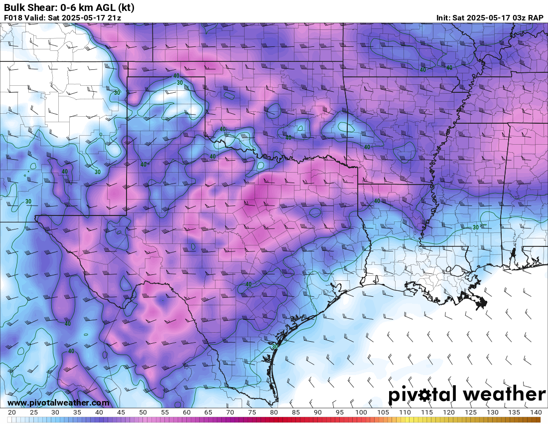
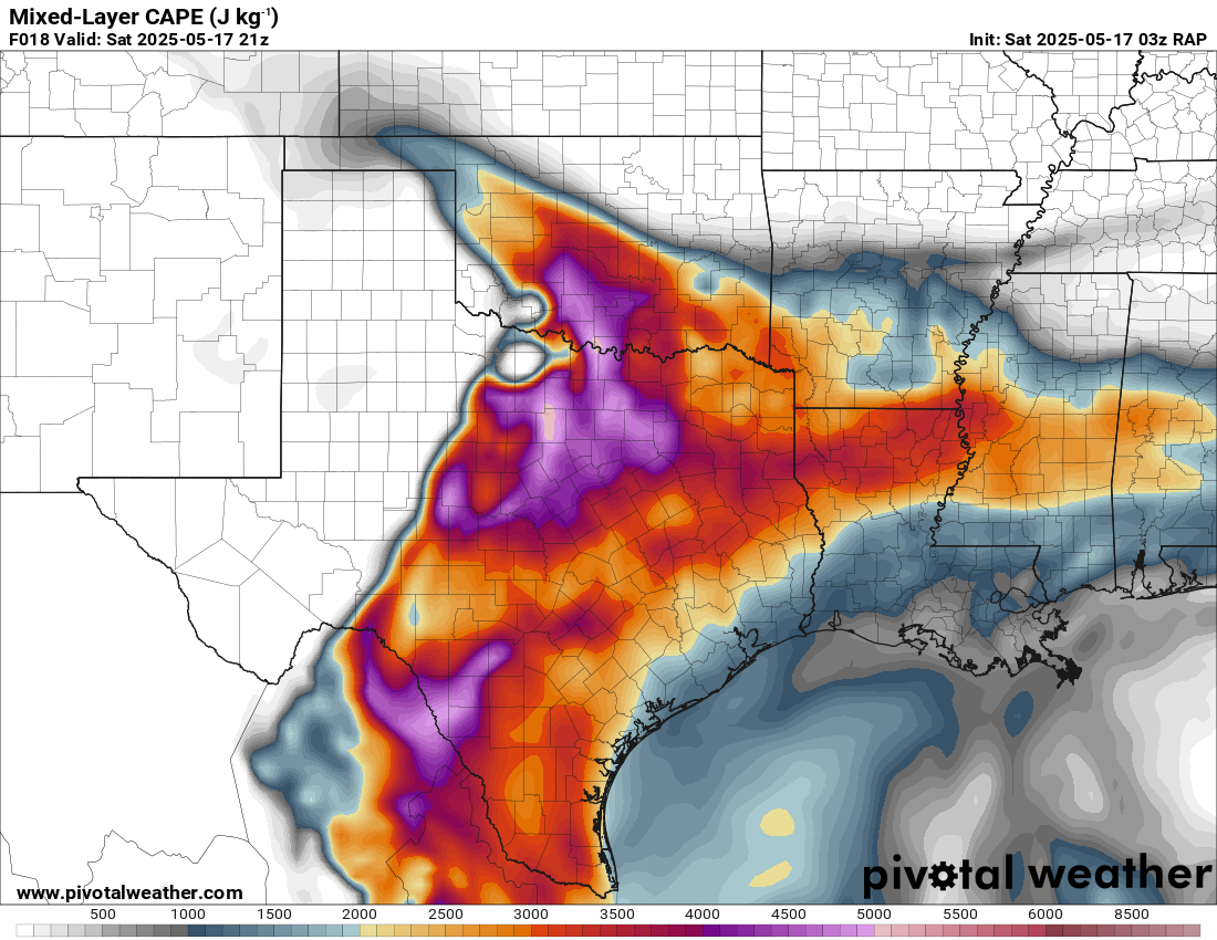
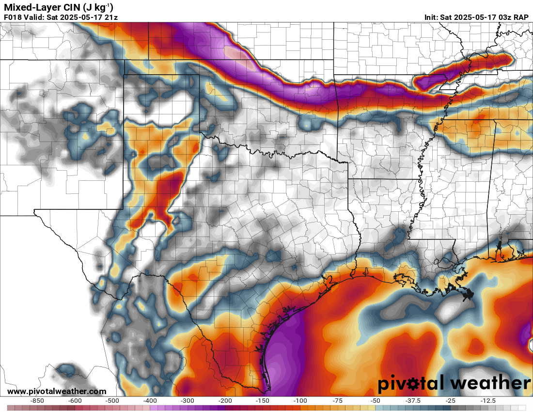
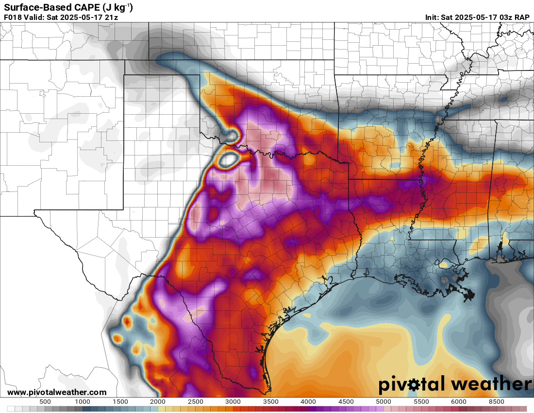
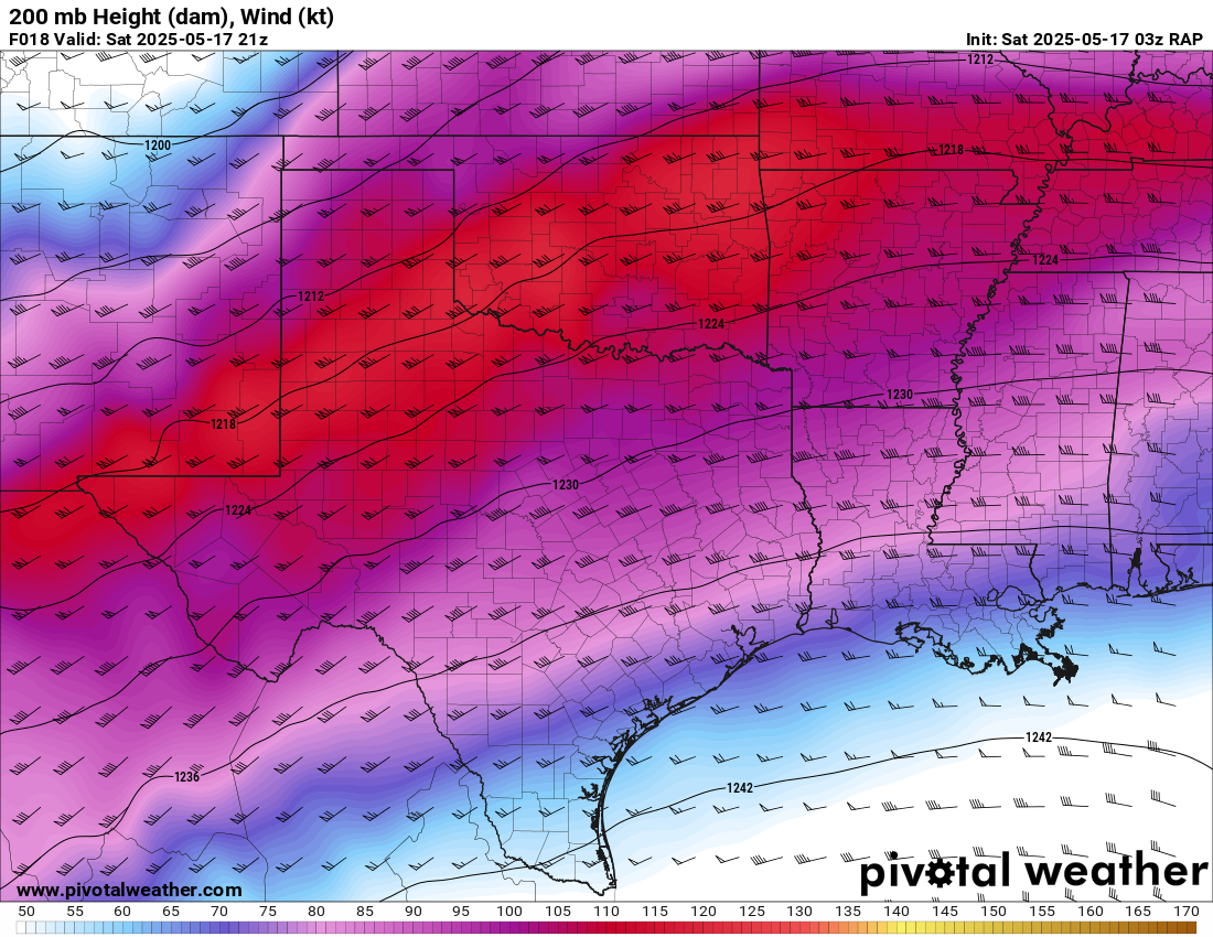
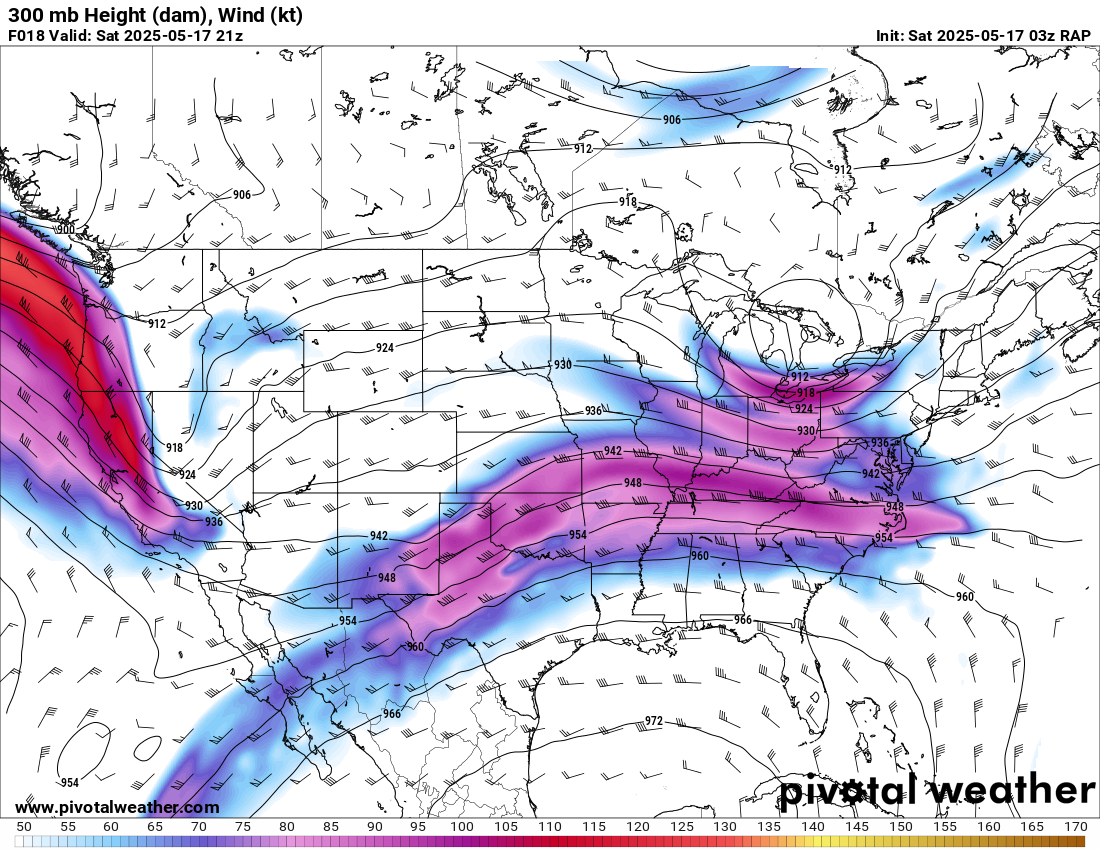
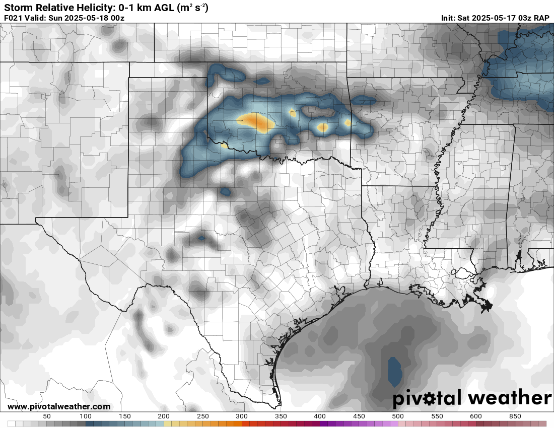
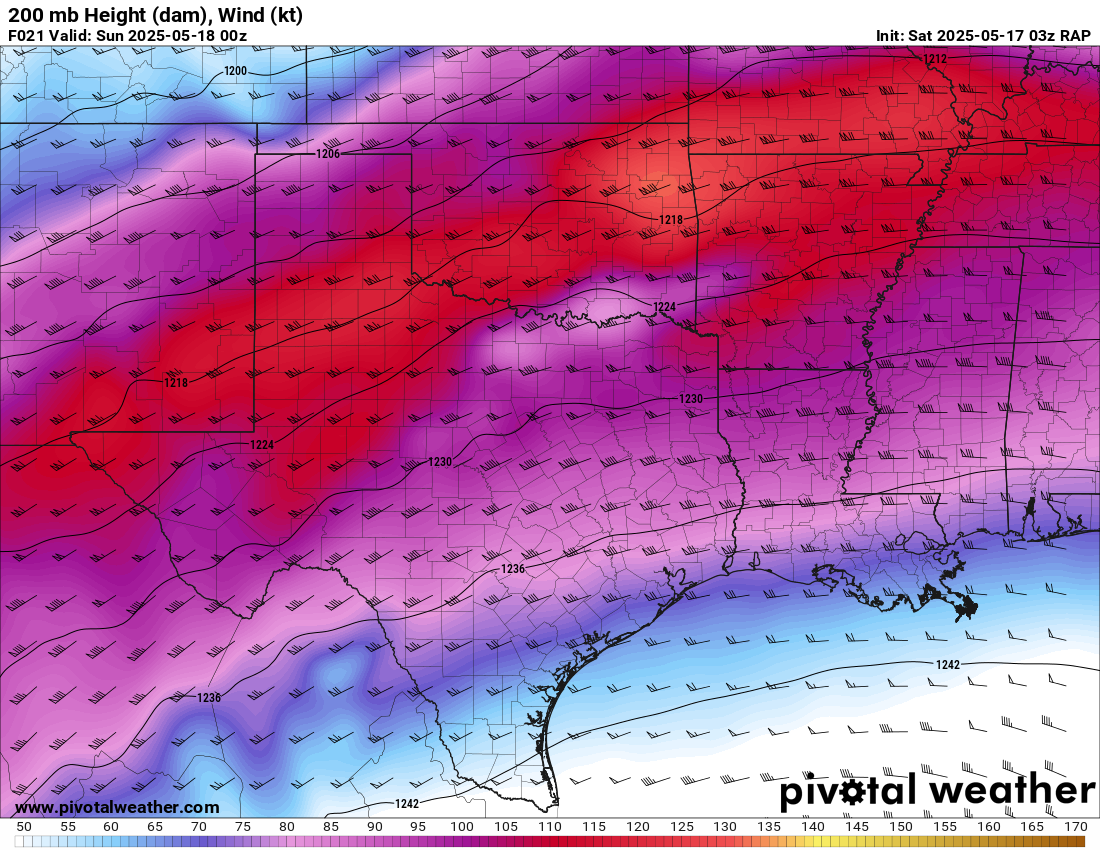
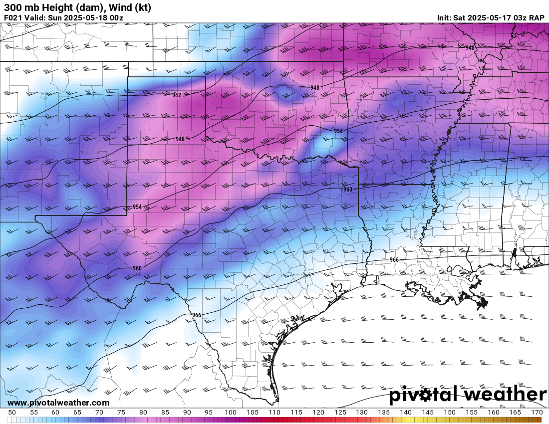
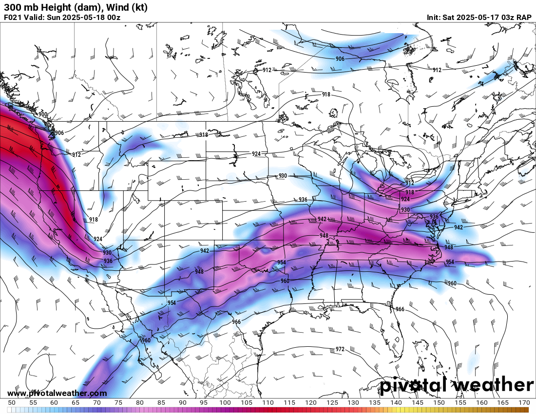
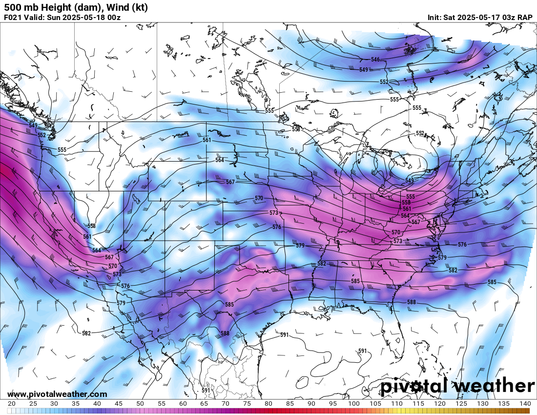
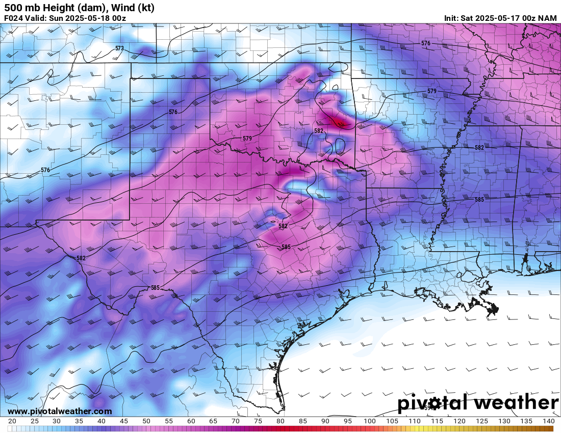
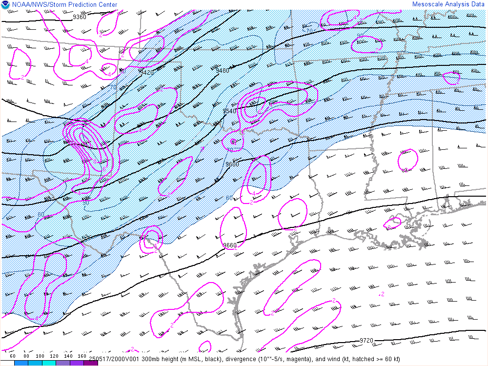
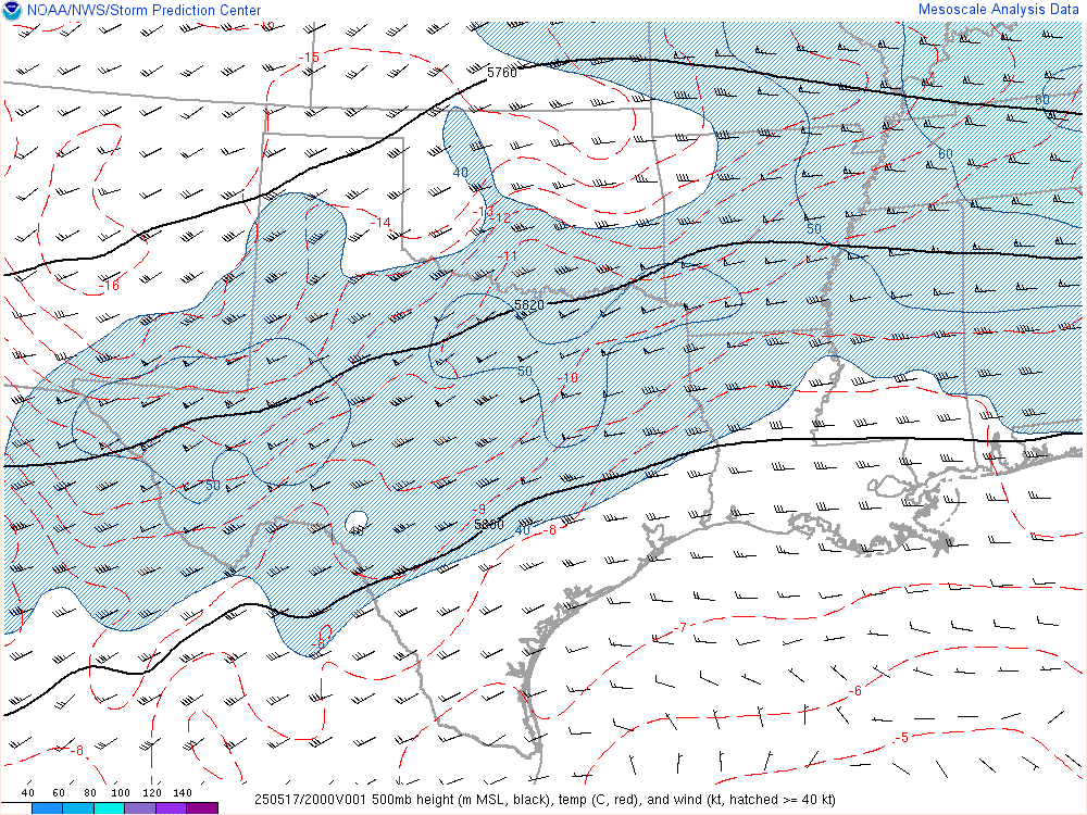
As mentioned, forecast models showed a very strong subtropical jet at 200mb over an extremely moist and unstable airmass. Multiple days in a row of this pattern which has classically produced some decent Oklahoma days.
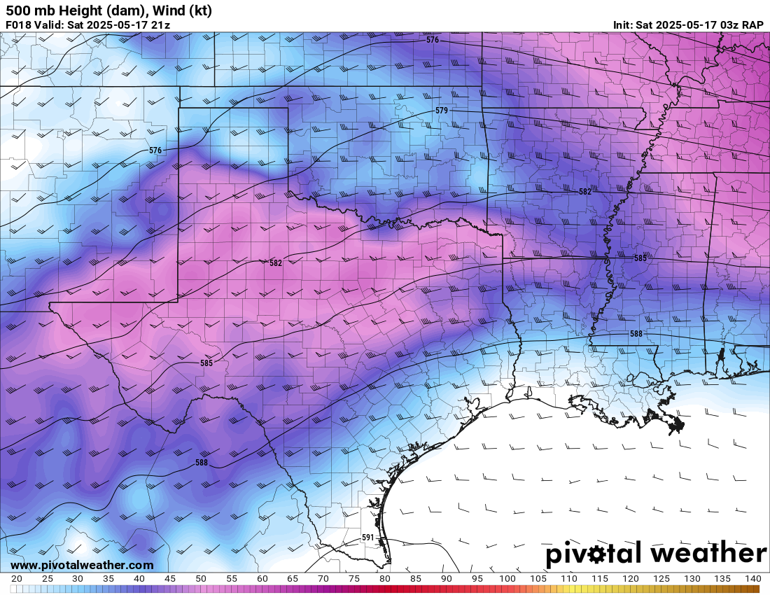
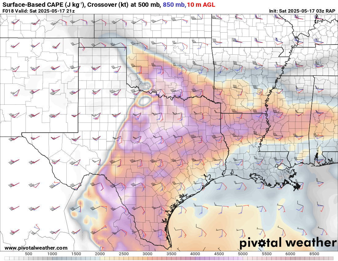
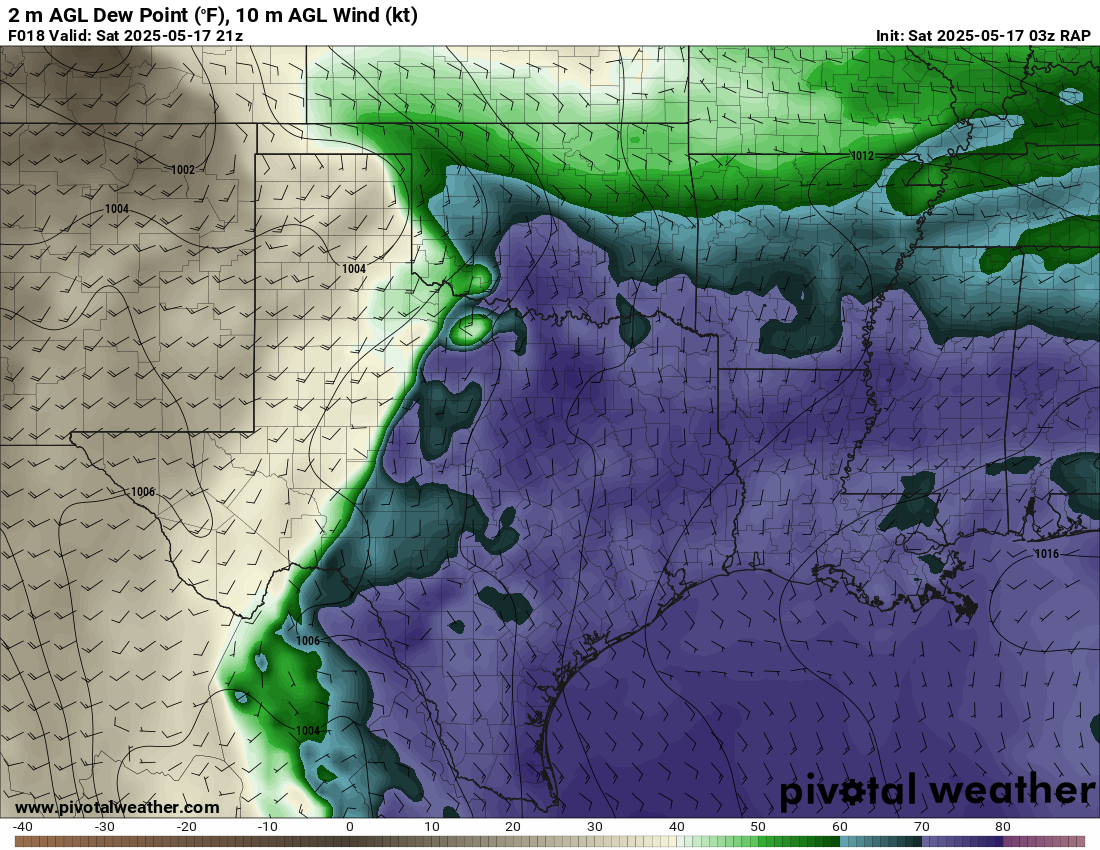
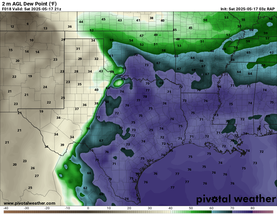
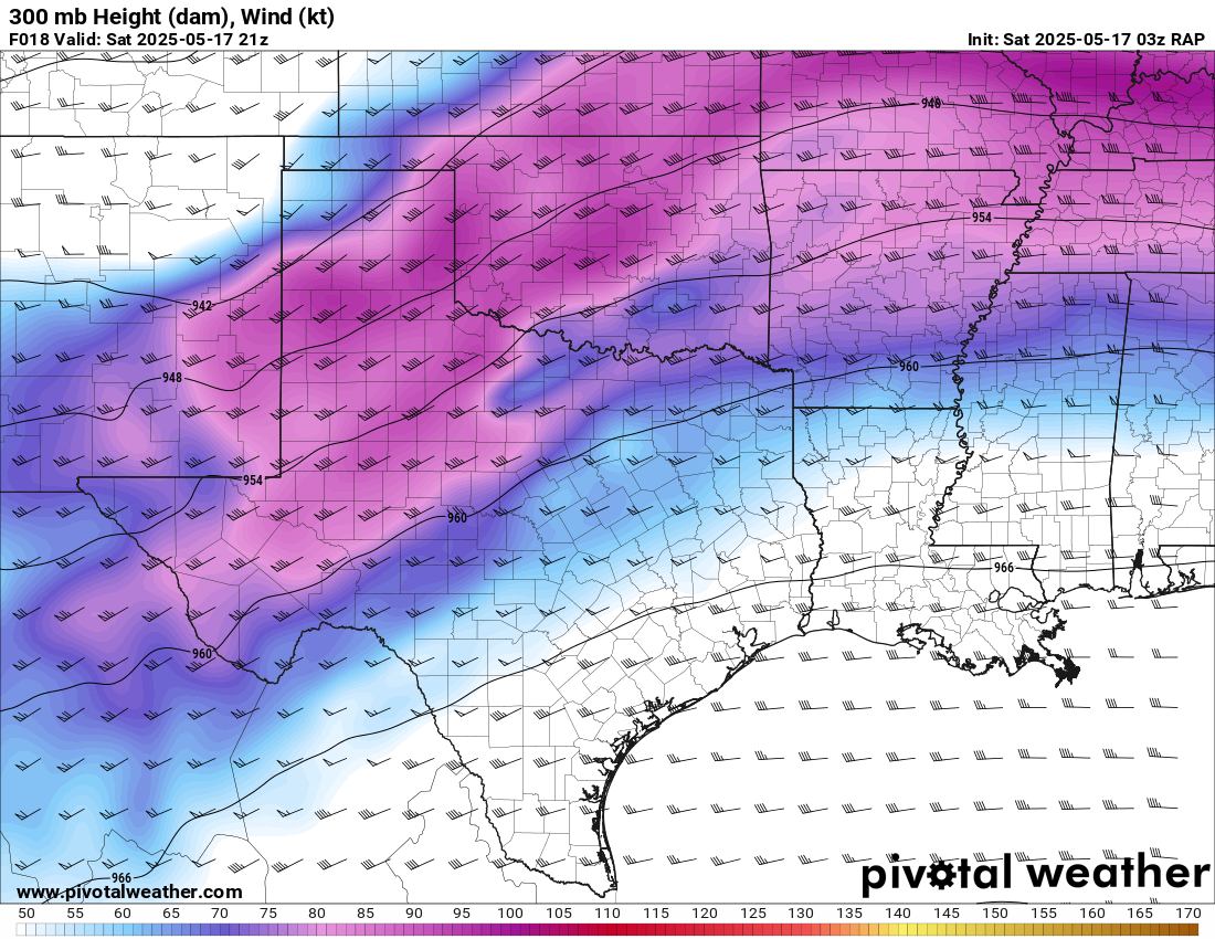
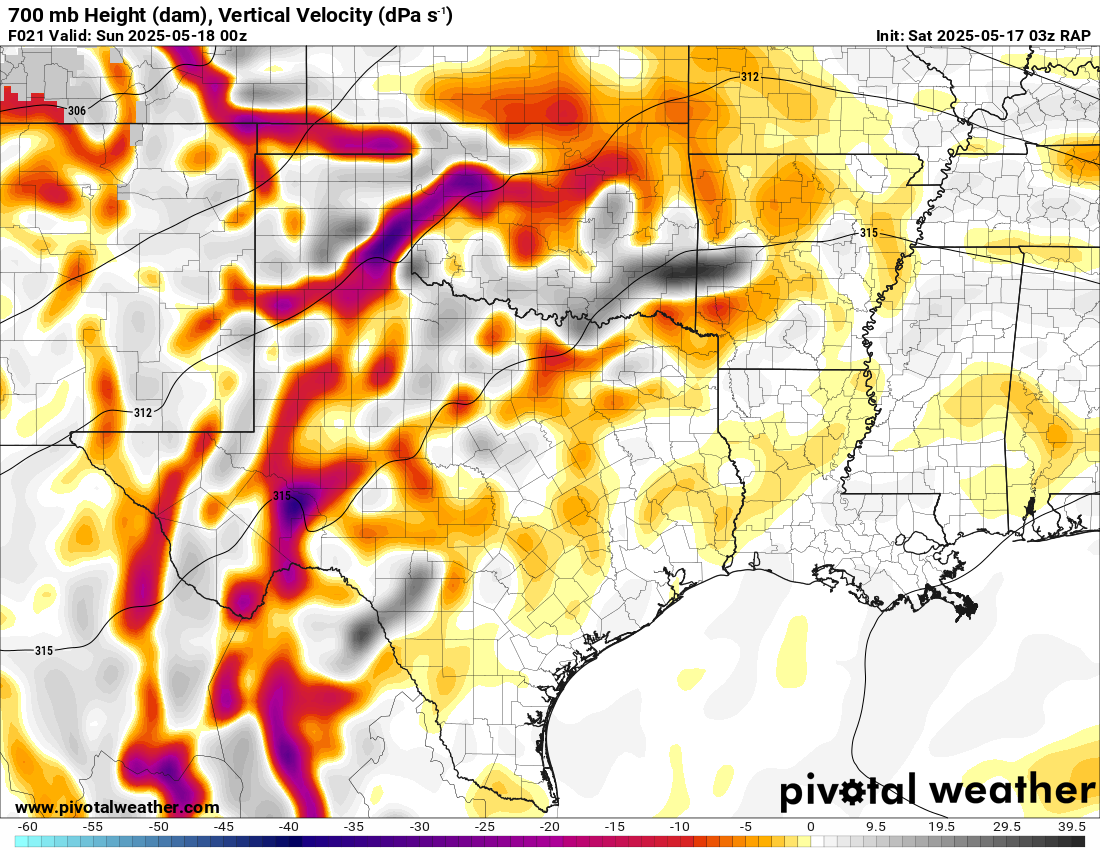
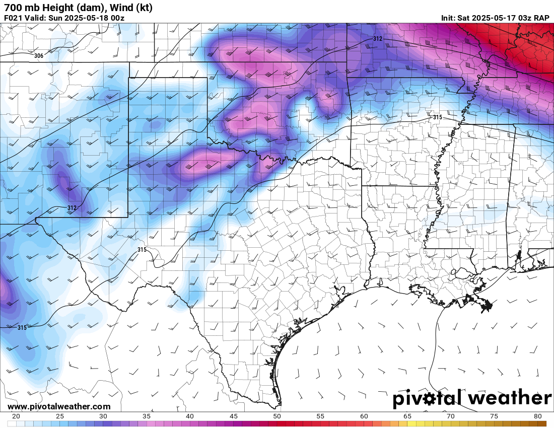
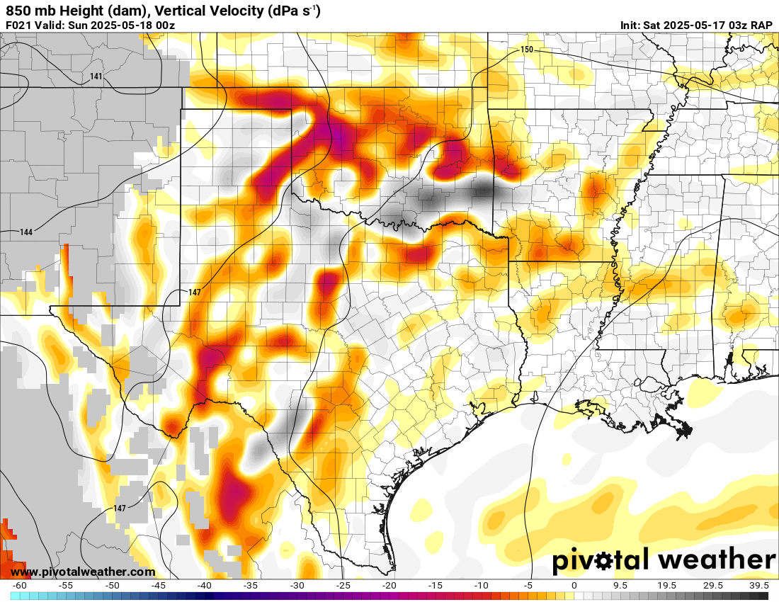
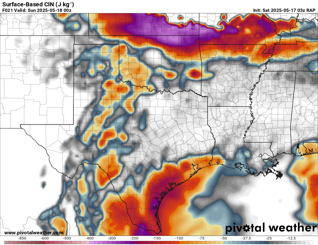
03Z RAP


00Z NAM


Morning of the 17th
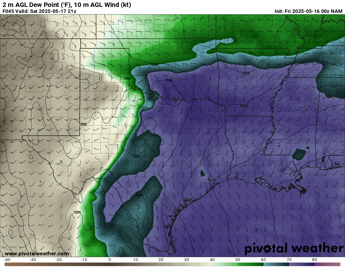
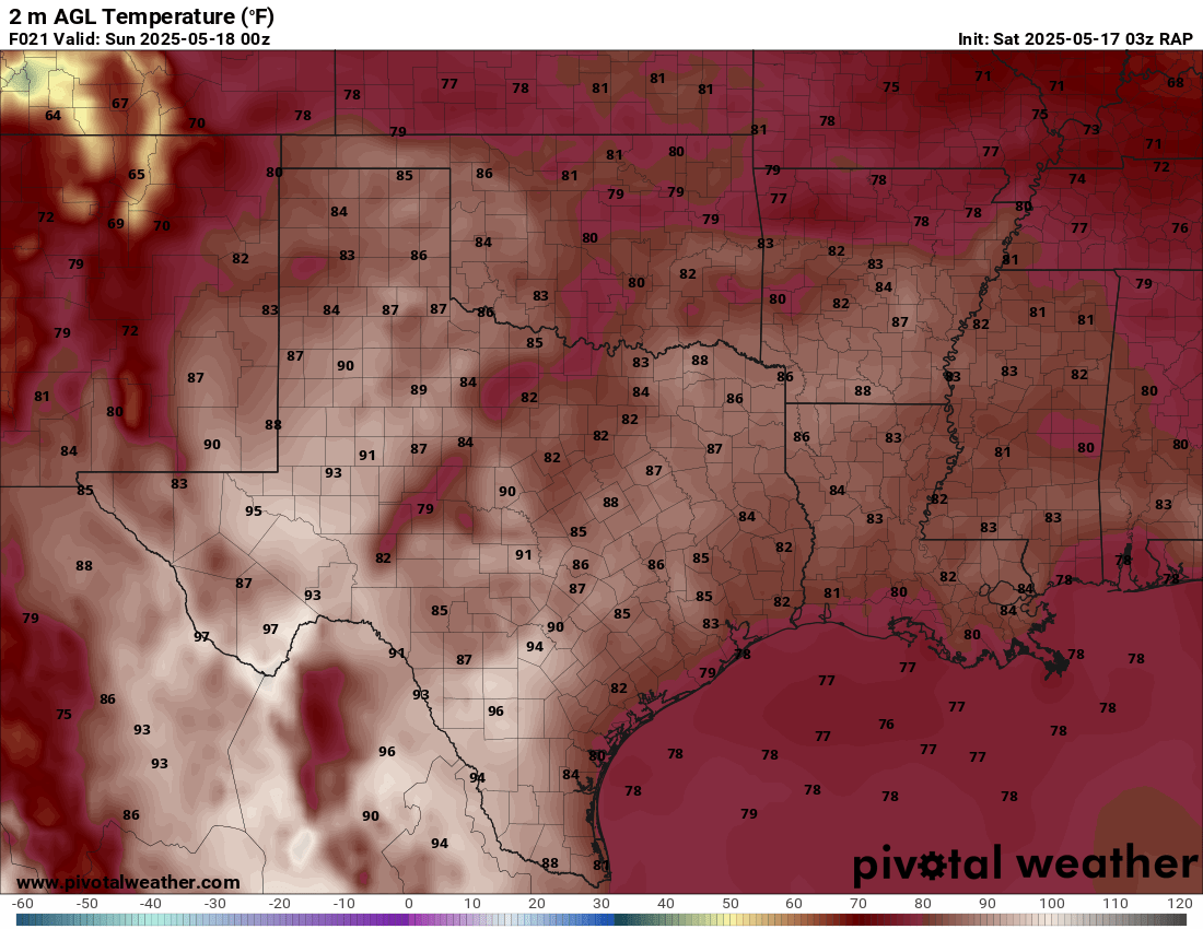
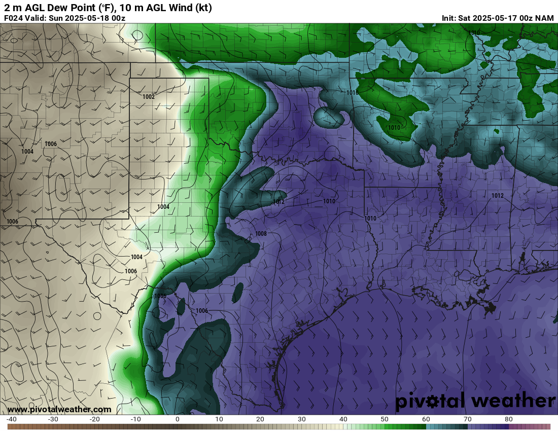
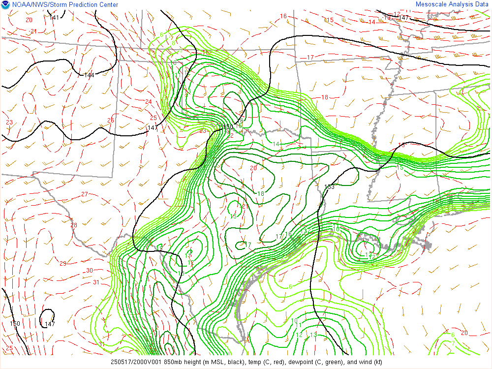
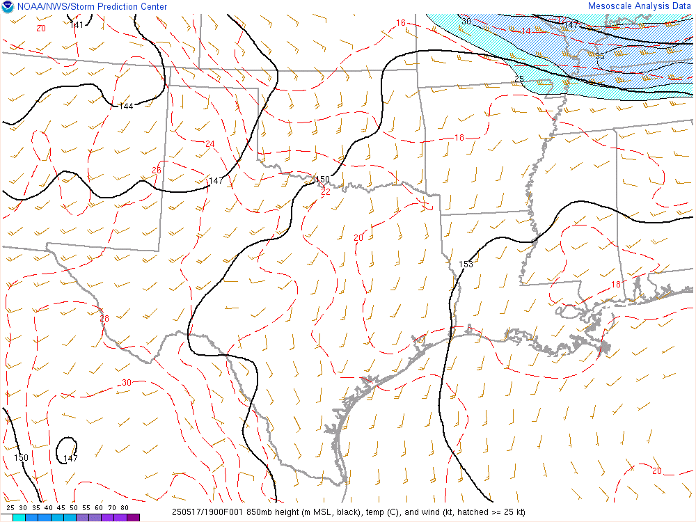
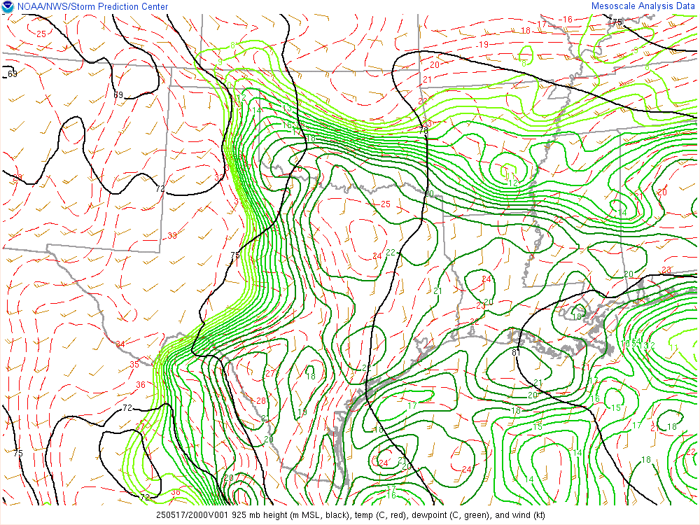
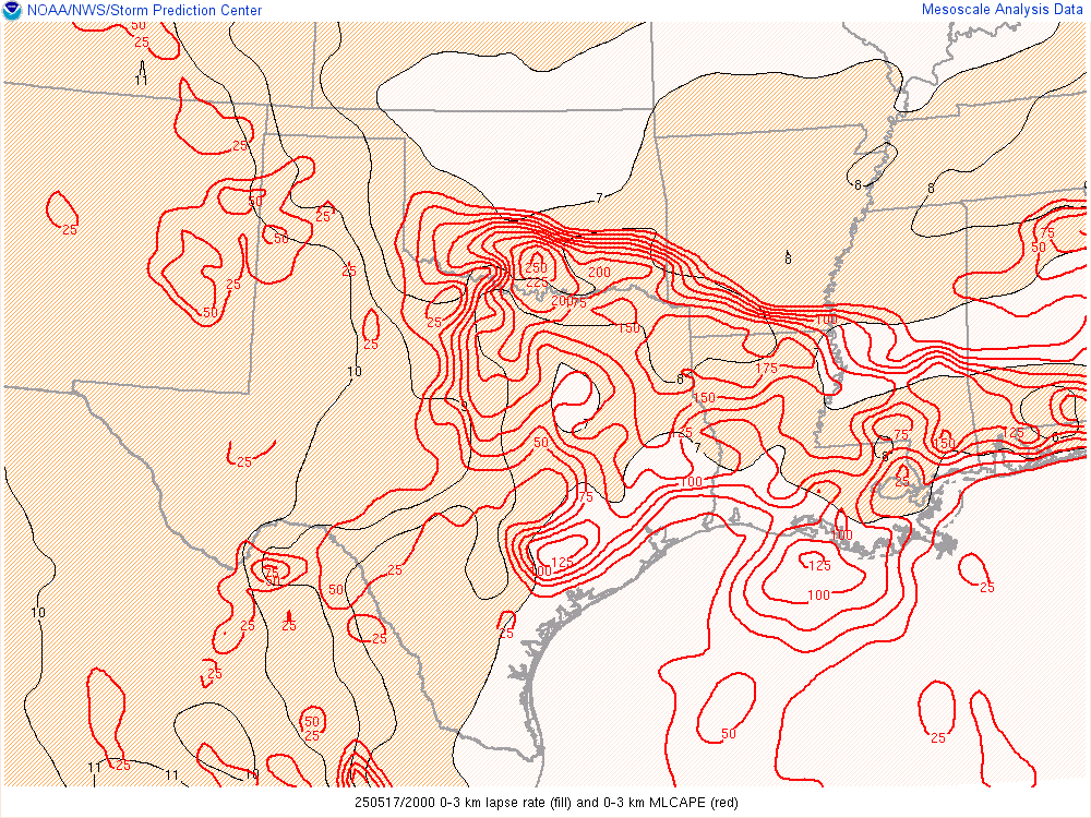
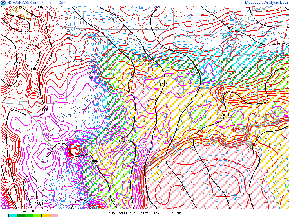
Woke up to a lot to unpack. An obvious boundary was running from Weatherford through Chickasha and southeast towards Ada and Broken Bow. The air to the south was very moist as could be seen by the Mesonet.

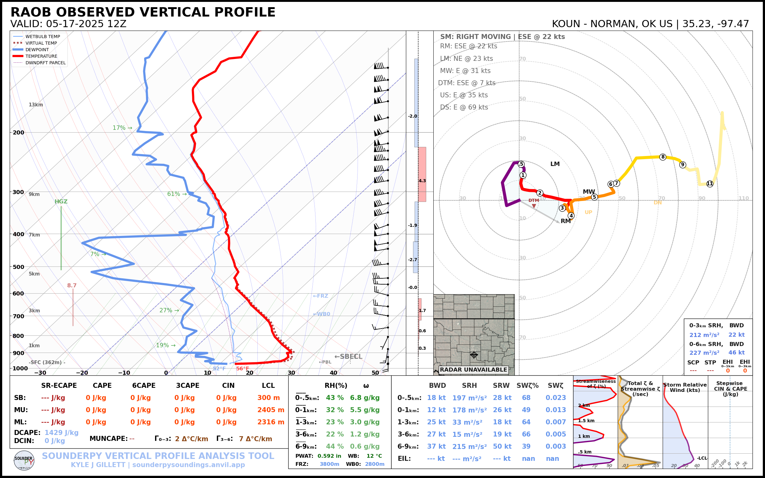
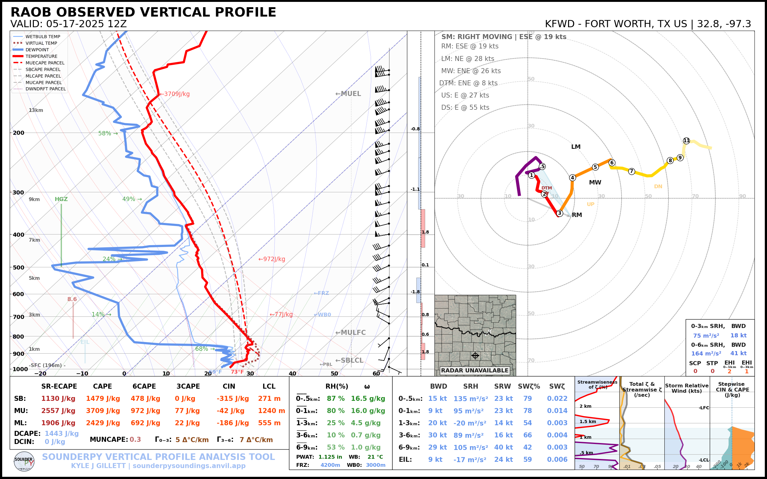
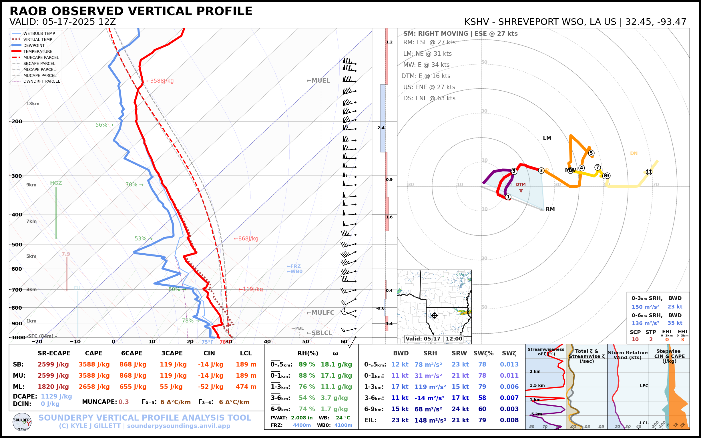
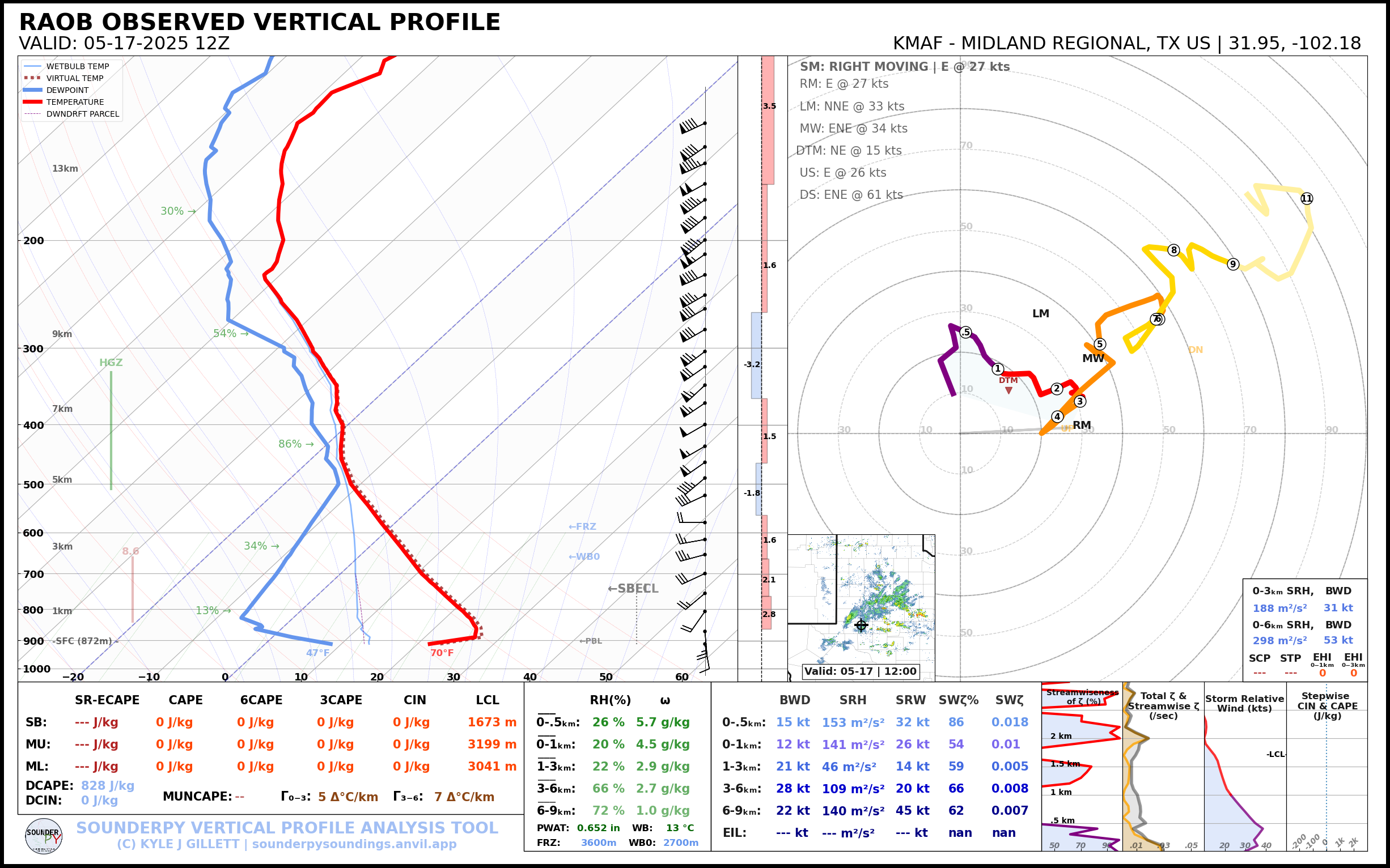
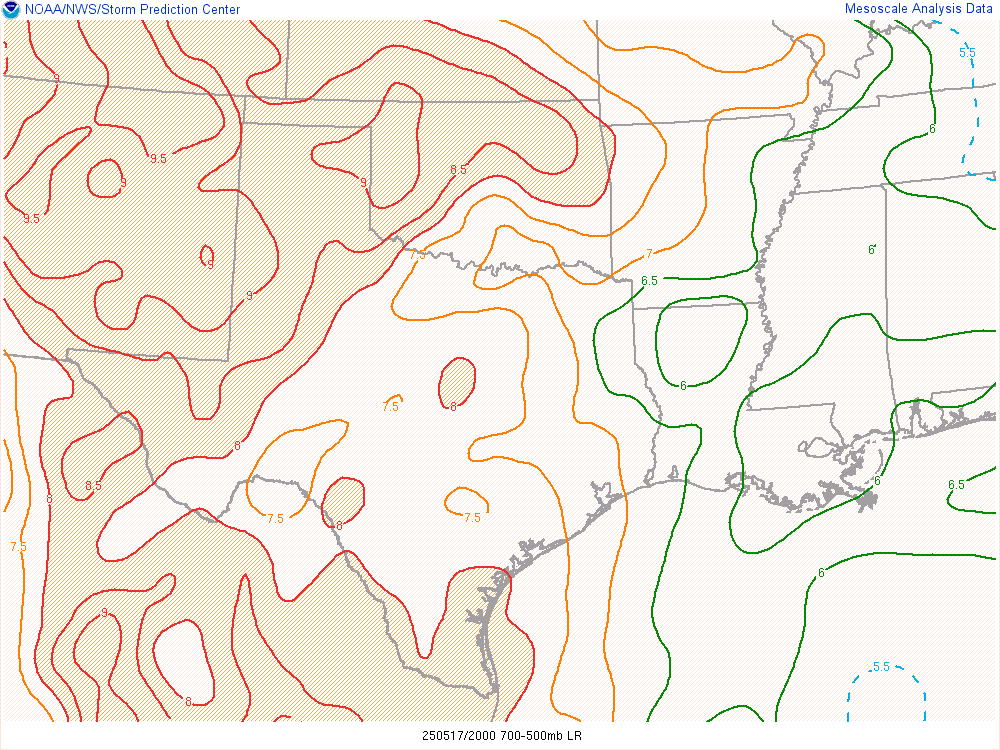
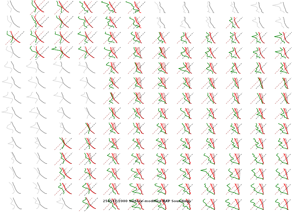
12z Observed Upper Air Soundings
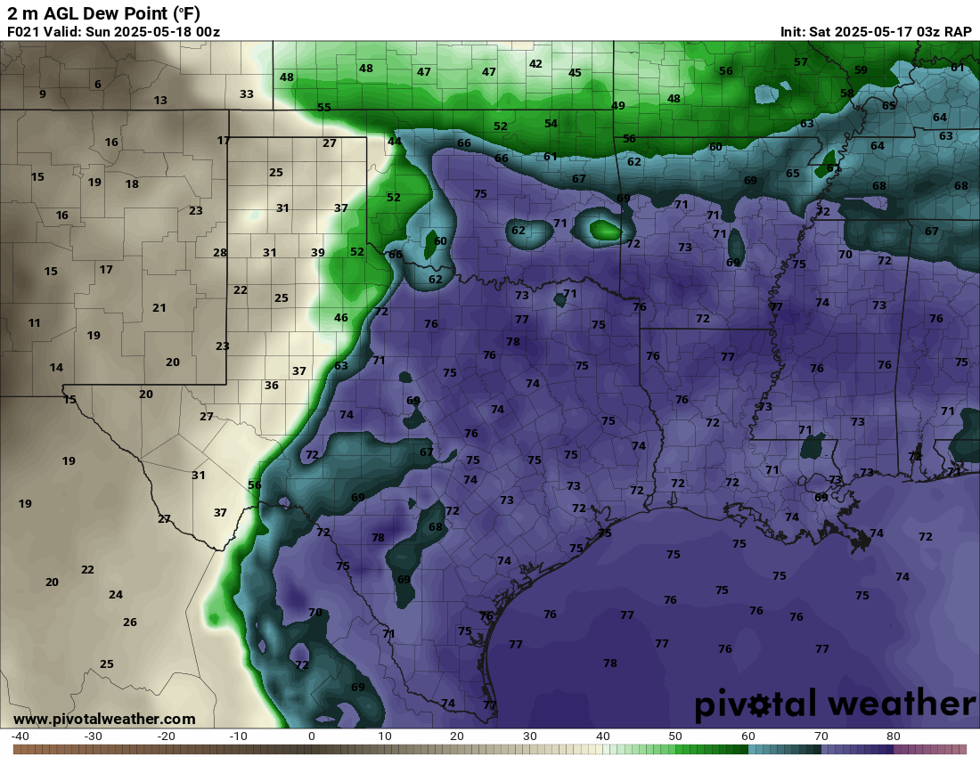
Shreveport morning sounding showed a very moist atmosphere with a PWAT value of over 2″. Norman was north of the boundary, which was very dry. A steady stream of westerlies in the upper levels would ensure decent venting.
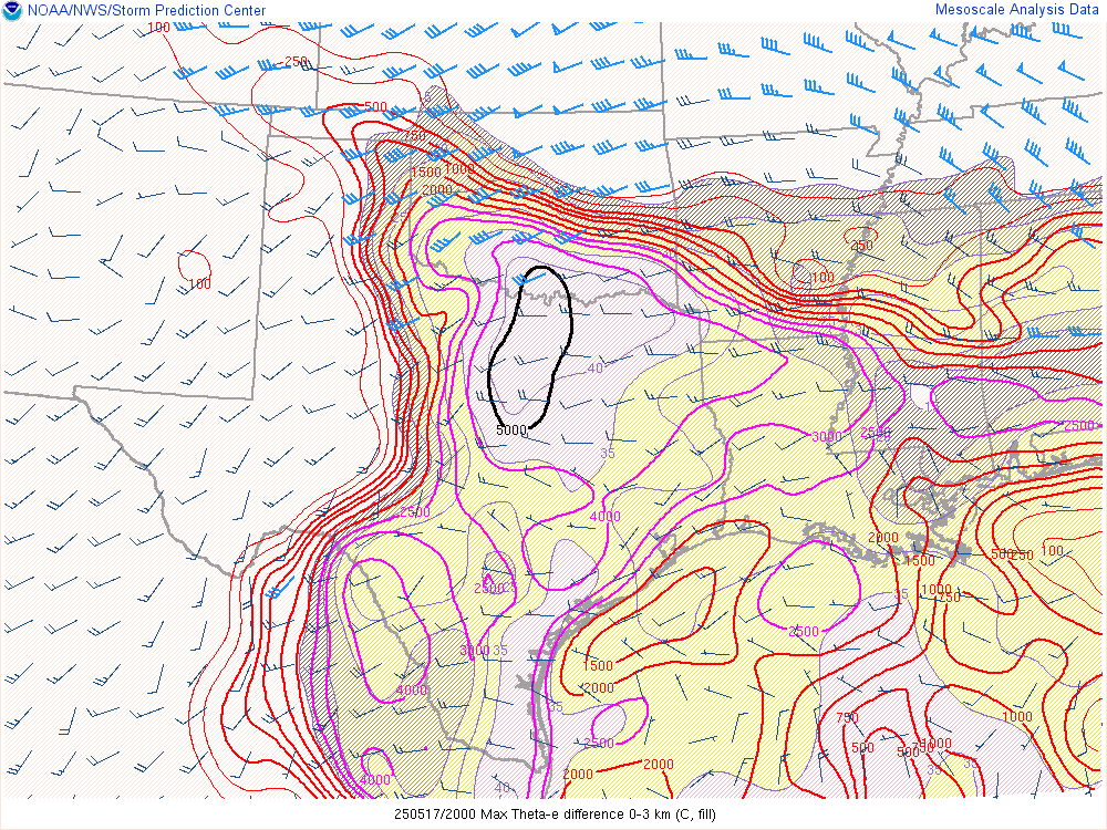
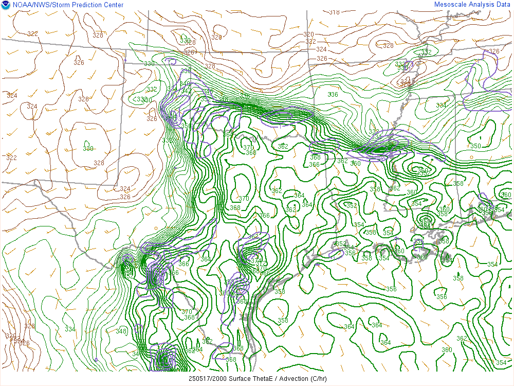
Mesonet Theta-E Map 11:55 am CDT

Water Vapor Loop – 17Z/Noon CDT
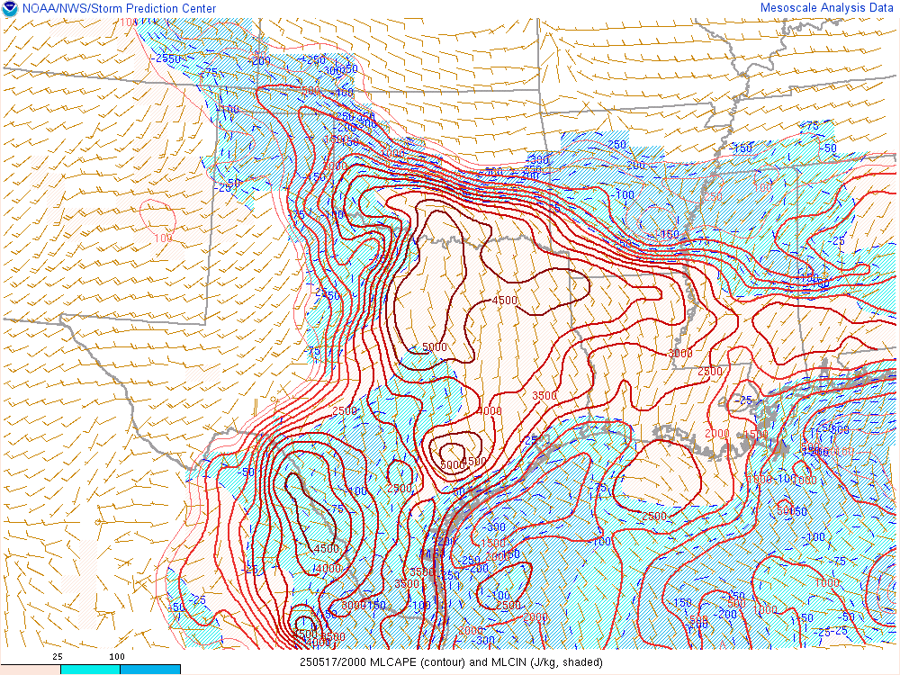
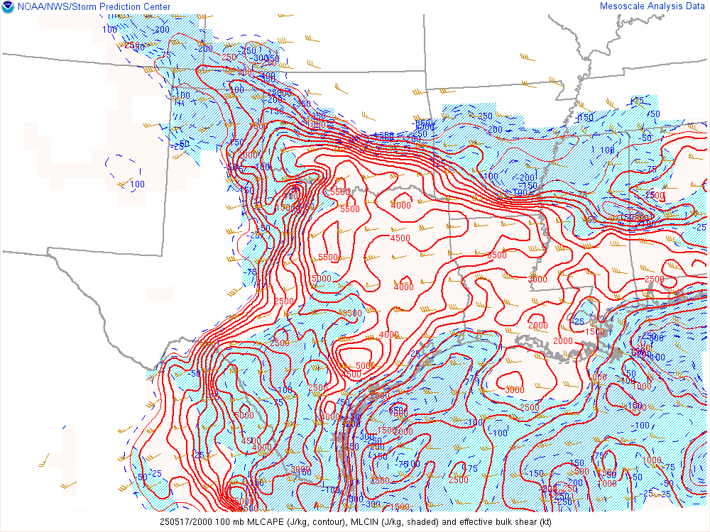
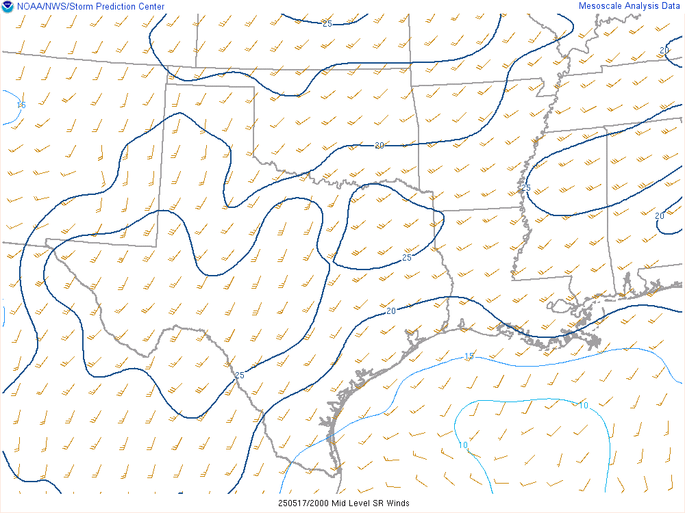
Afternoon Updates
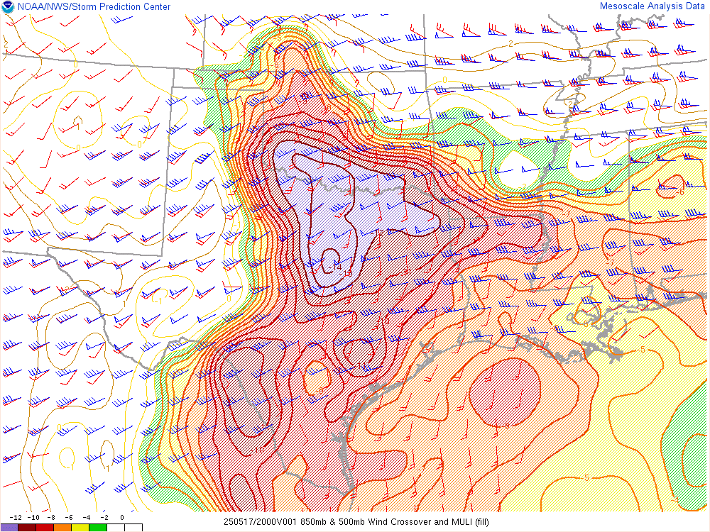
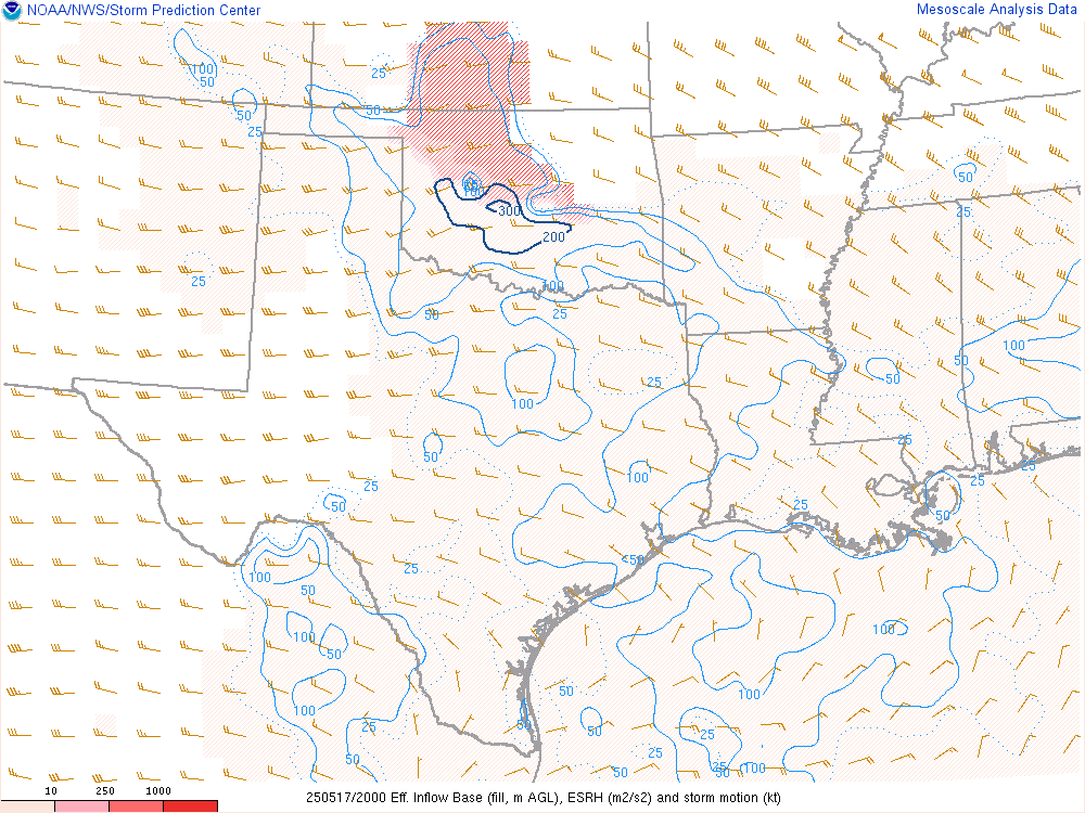
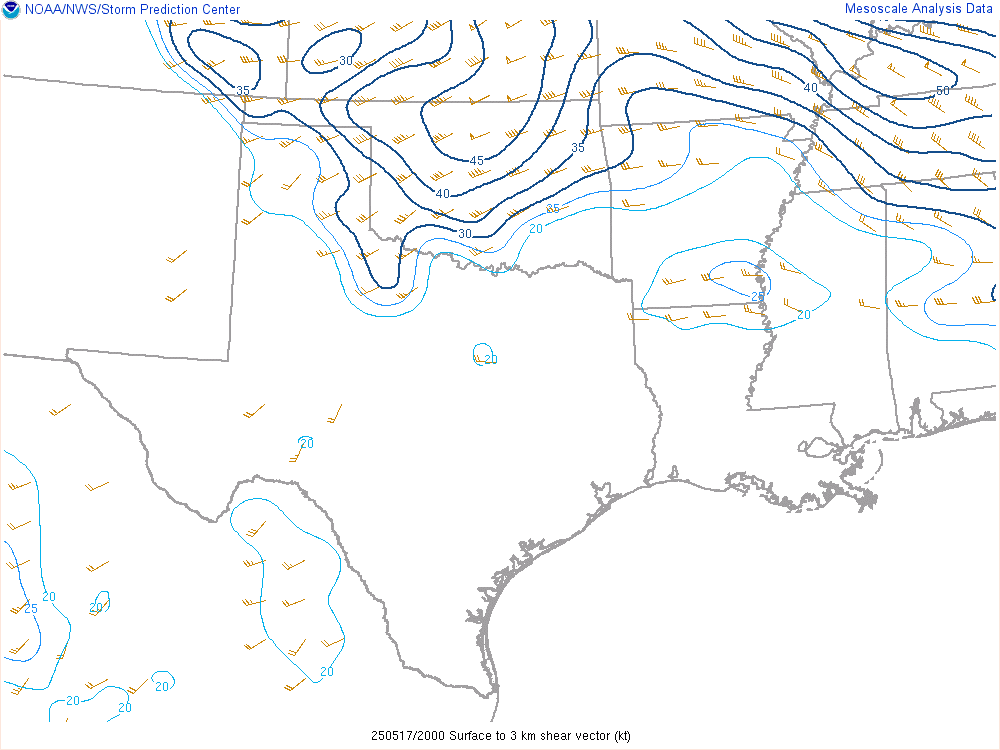
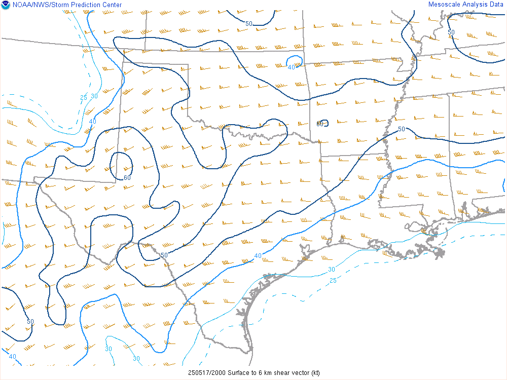
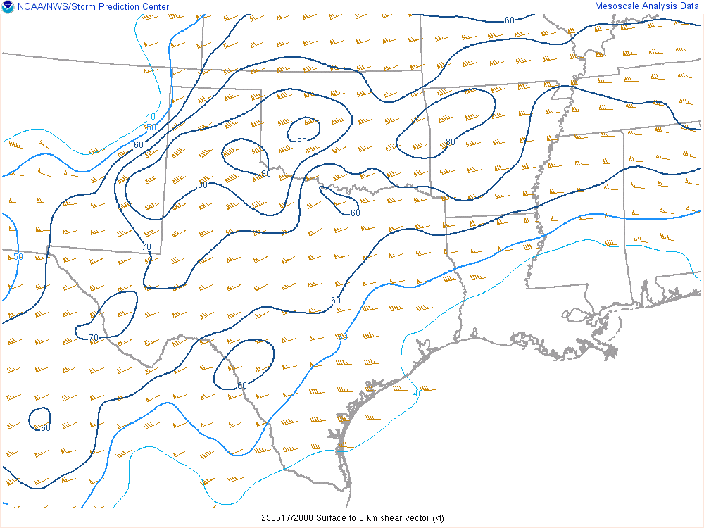
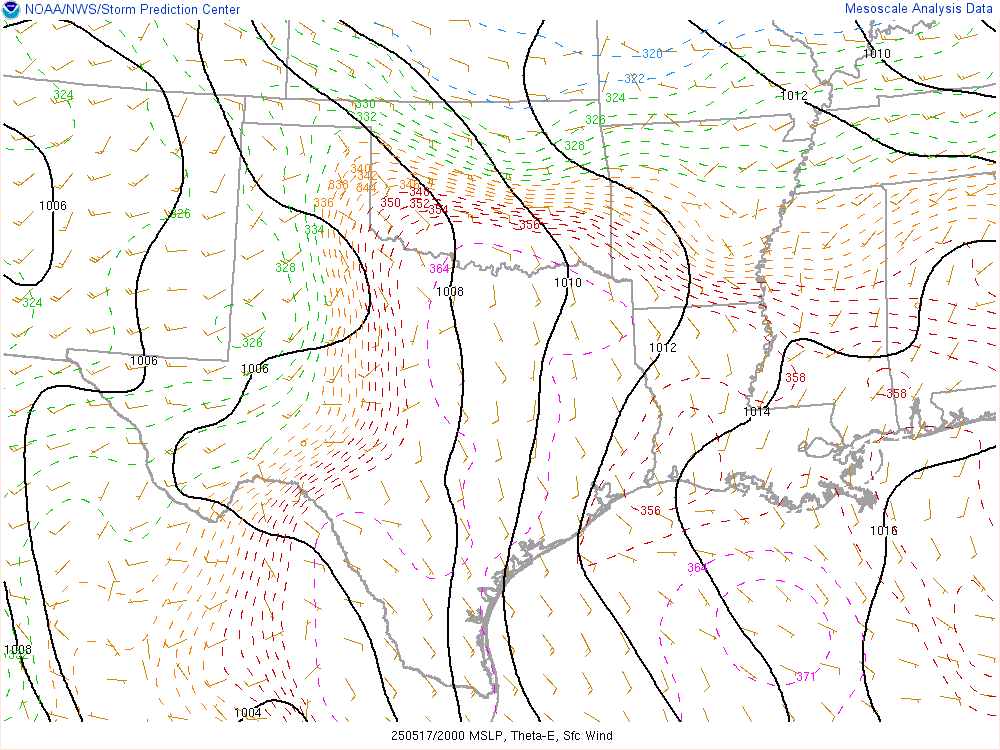
20Z SPC Mesoanalysis

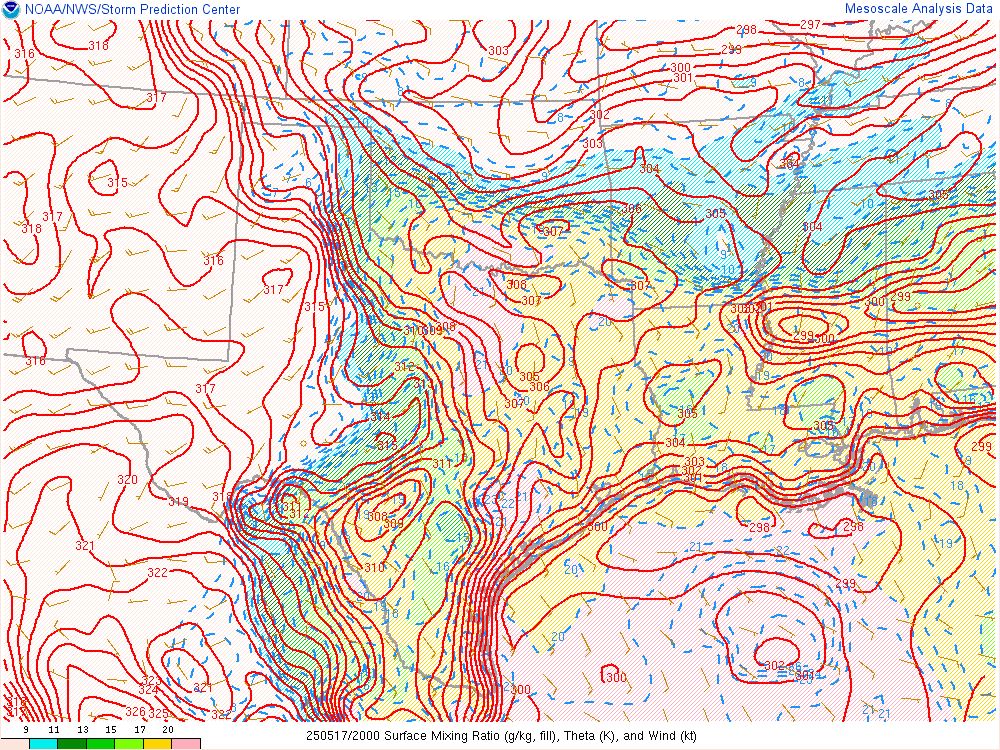
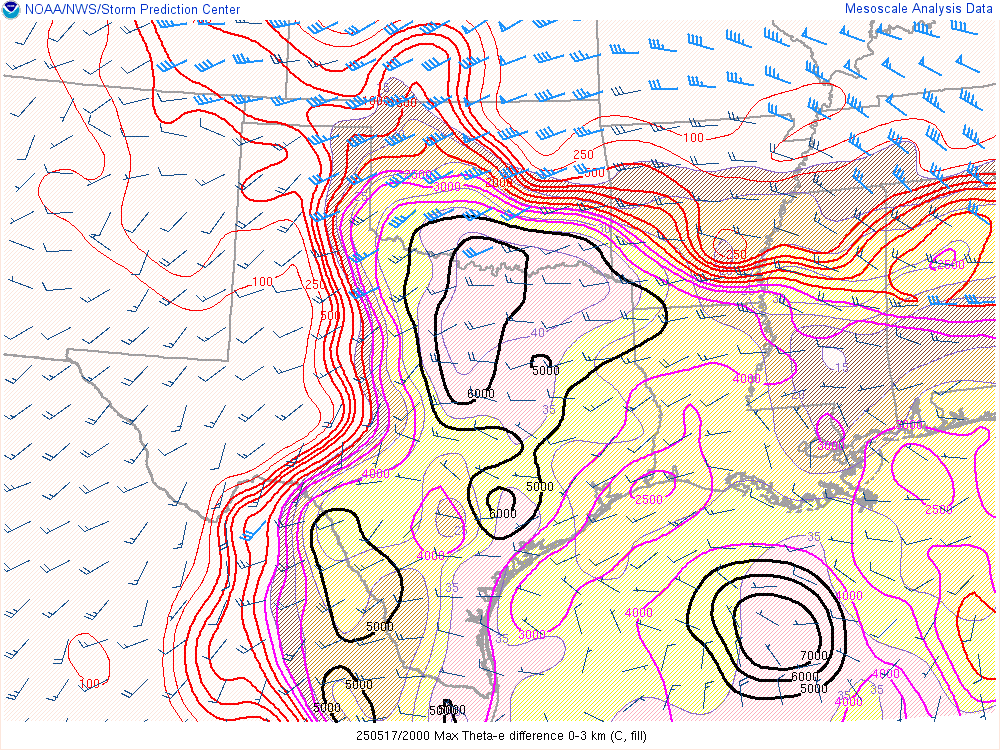
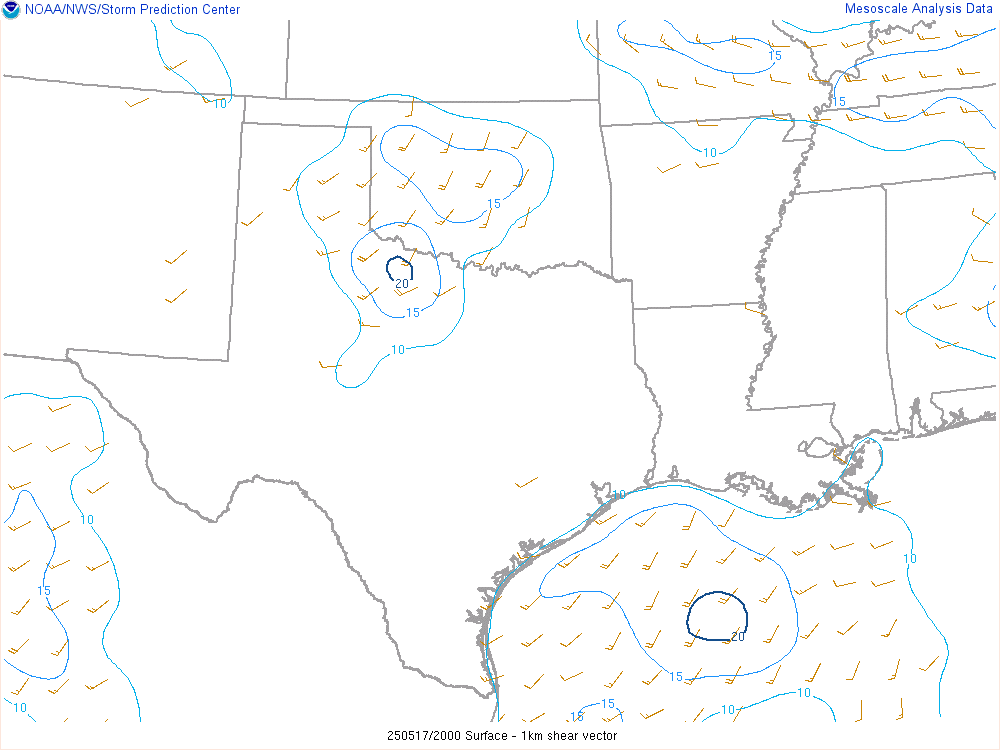

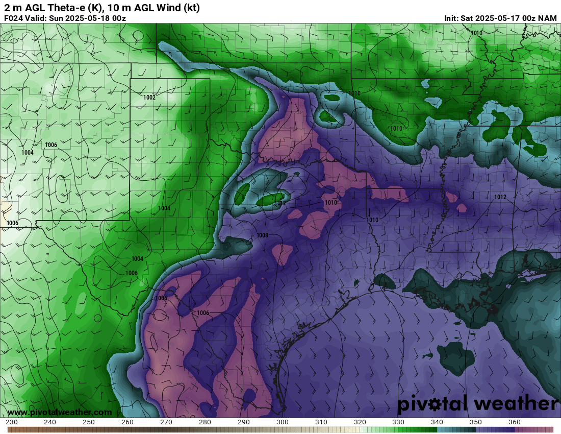
3:20 pm Theta-E from Oklahoma Mesonet

After seeing this Theta-E map, it was obvious I would need to get on the tongue of that Theta E just southwest of Norman.

Departing Norman – 3:45 pm CDT
While watching satellite and radar, I started to see signs of explosive initiation and development down near Marlow. The initial motion on the storm was to the northeast. By 3:41 pm the storm was severe warned and I was just departing my house in Norman.
Some slow down getting onto I-35 and across the river to SH-9 westbound. I cut south on 277 to Blanchard and then down Highway 76. Made it through Dibble and onto the storm around 4:15. As can be seen in the radar image below, the supercell had taken on a very good shape and seemed to be undergoing the splitting process. At 4:30, they issued a tornado warning on the storm.


Struggling to mature near Lindsay
It seemed like the storm was battling some colder air coming in on the south side of it. The air coming out of the storm/along the RFD was very cold as I approached highway 19 between Lindsay and Bradley. While it seemed to be maturing, I was not convinced a tornado was imminent.
The storm was taking a much further east or even a little south of east track. At the same time, we also ended up in a conga line of chasers on SH19. I made the decision to drop south out of Lindsay on highway 76. Because of the terrain, I ended up heading down to Purdy before heading east towards Paul’s Valley through Antioch.
Paul’s Valley Oklahoma Tornado

As we navigated east through Antioch, I had a decent view of the base. The RFD cut was obvious and I observed this wall cloud with a funnel just before getting into the beautiful terrain just west of Paul’s Valley.
A tornado was reported just to our north and I was able to observe it as we turned into Paul’s Valley. I was skeptical at the time, as it was quite messy. Other chasers, especially those on SH19, had much better views of it as it briefly touched down.
Heading east on Highway 19
I ran into the chaser hordes as I rejoined highway 19 in Paul’s Valley and headed east. Just east of Pauls Valley Lake I watched this wall cloud before having to continue east on 19. Precip was moving somewhat fast and we found ourselves near Stratford.
We’d follow the storm until about Ada before we bailed off and headed home to get ready for the next day, which appeared to be a big day.


