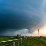
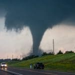
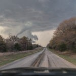
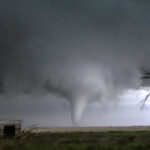
Storm Chase Details
Miles Logged: 191
States Chased: OK
Tornadoes Witnessed: 2
Largest Hail Encountered: 1.25 in.
Highest Wind Encountered: 50 MPH
Spotter Network Reports: 2
Severe Risks: SPC Outlooks
Severe Reports: Storm Reports
Would see multiple tornadoes in Central Oklahoma, missing the main one in Cole. Multiple after dark tornadoes in Cleveland and Pottawatomi Counties.
Forecast
In the days leading up to the 19th, it did not appear that we’d have a significant severe weather day. This day would end up being one of those that came together at the last moments. On the first Day 1 SPC outlook, there was a slight risk/2% tornado west of Oklahoma City Metro. A 5% was added at 8am and moved to over Oklahoma City metro.
Morning 12Z NAM Run
I woke up and took a look at the 12z NAM. A southwest/northeast oriented Dryline would be present with strong to extreme instability just east over the I-35 corridor in Central Oklahoma.
Surface Analysis 19Z/2 pm CDT April 19, 2023

Following storm through Moore
Since I was already up at I-44 and US-277 in Newcastle, it made sense to cross the river on I-44 and go to 149th. I
Returning home then dropping south to Noble
I returned back to my home to ensure the earlier Cole tornado was not going to affect Norman. Oklahoma Highway Patrol had closed I-35, so I had to use surface streets to get to my house. After a bathroom break, I was convinced the tornado to my south had dissipated.
I headed back out towards Southeast Norman and Noble.


