Storm Chase Details
Miles Logged: 1215
States Chased: IL
Tornadoes Witnessed: 1
Spotter Network Reports: 3
Severe Risks: SPC Outlooks
Severe Reports: Storm Reports
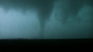
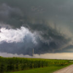
A day where I feel like I made a great forecast and did almost everything right. I woke up in Michigan and went to Illinois to intercept a tornado in a very high precipitation supercell near Harmon.
Arrival in Lansing
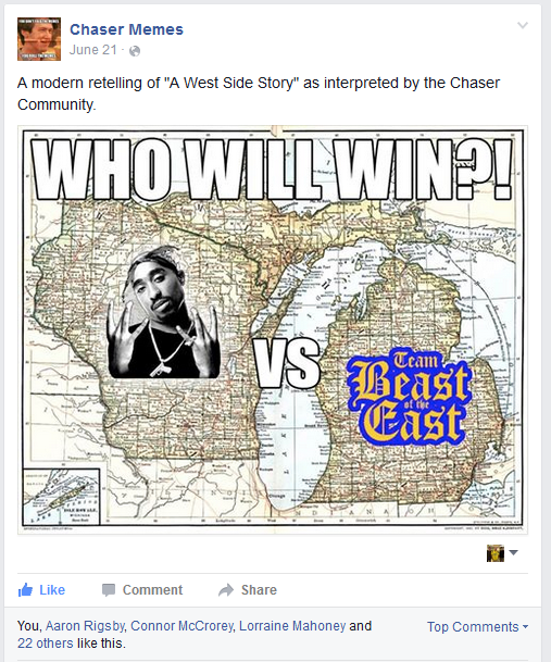
After much debate, I finally fell for the stupid hype and left Peoria on Sunday and drove to my parents house in Lansing, MI. I was thinking there would be a good chance of storms in Michigan from a northwest flow event. We arrived in Lansing and hung out. Bart made an east vs west meme, as there were positives to targeting on both sides of the lake. Will the tornadoes be in Michigan or Wisconsin? That was the question.
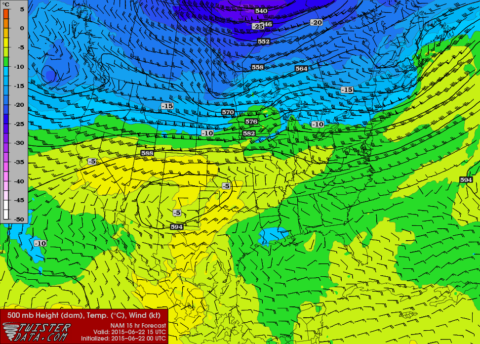
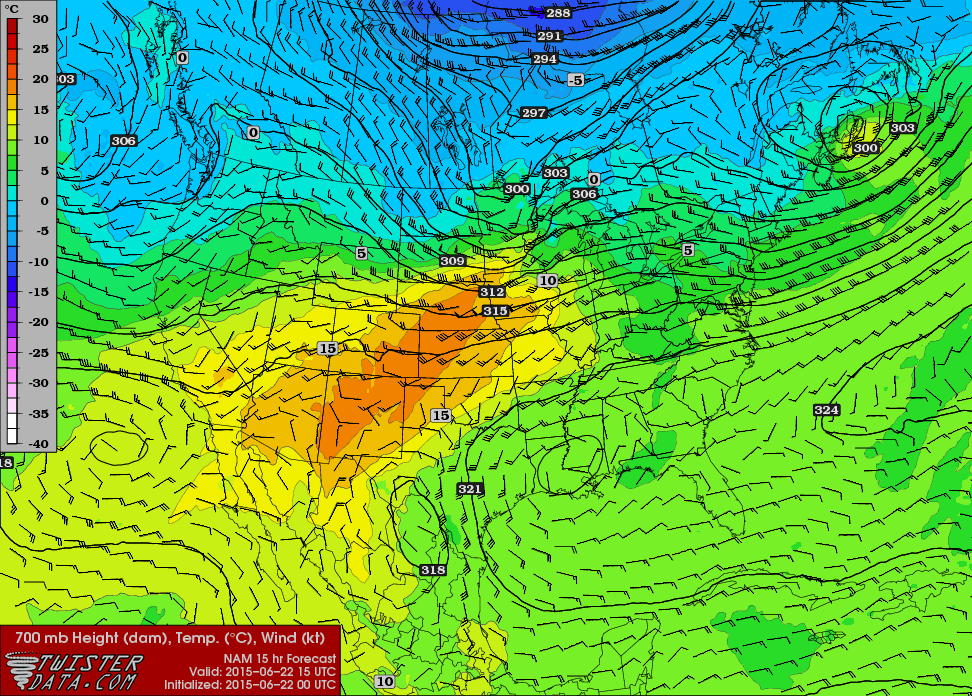
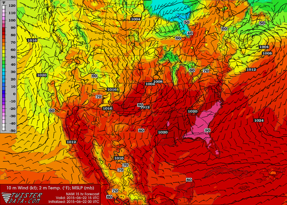
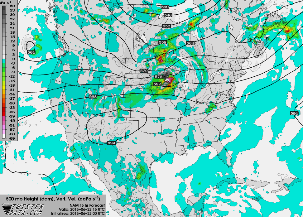
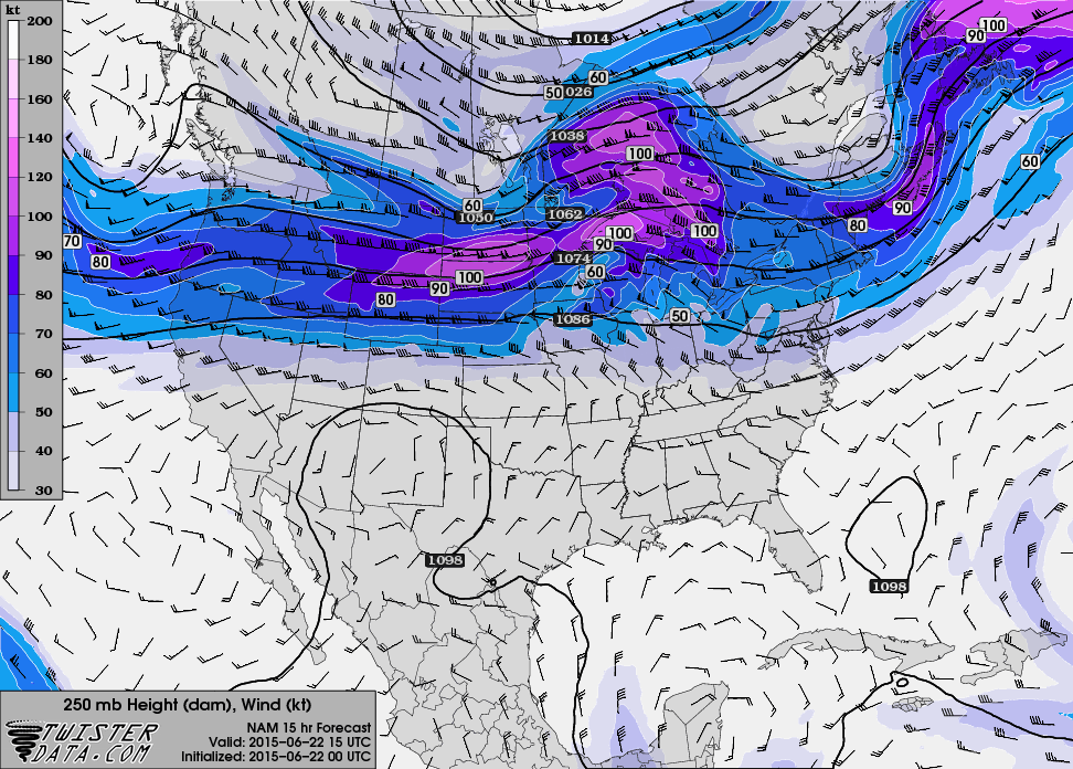
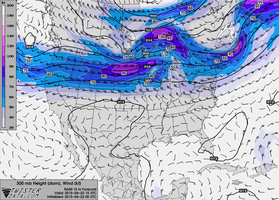
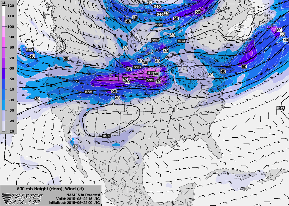
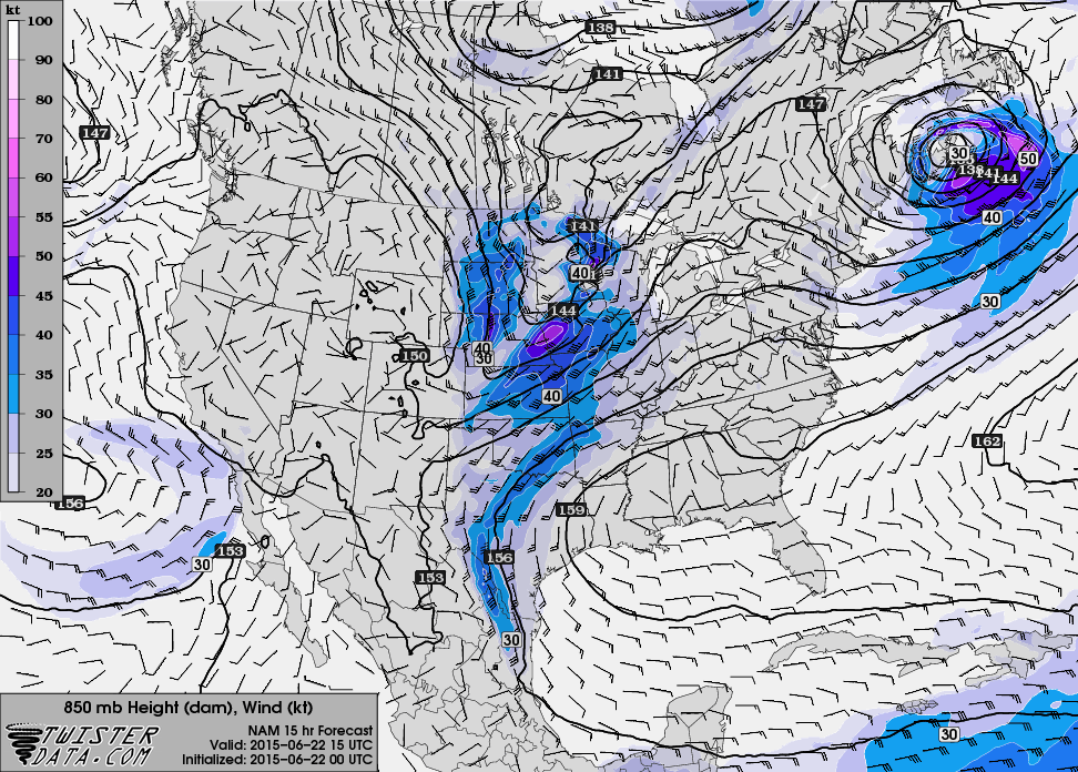
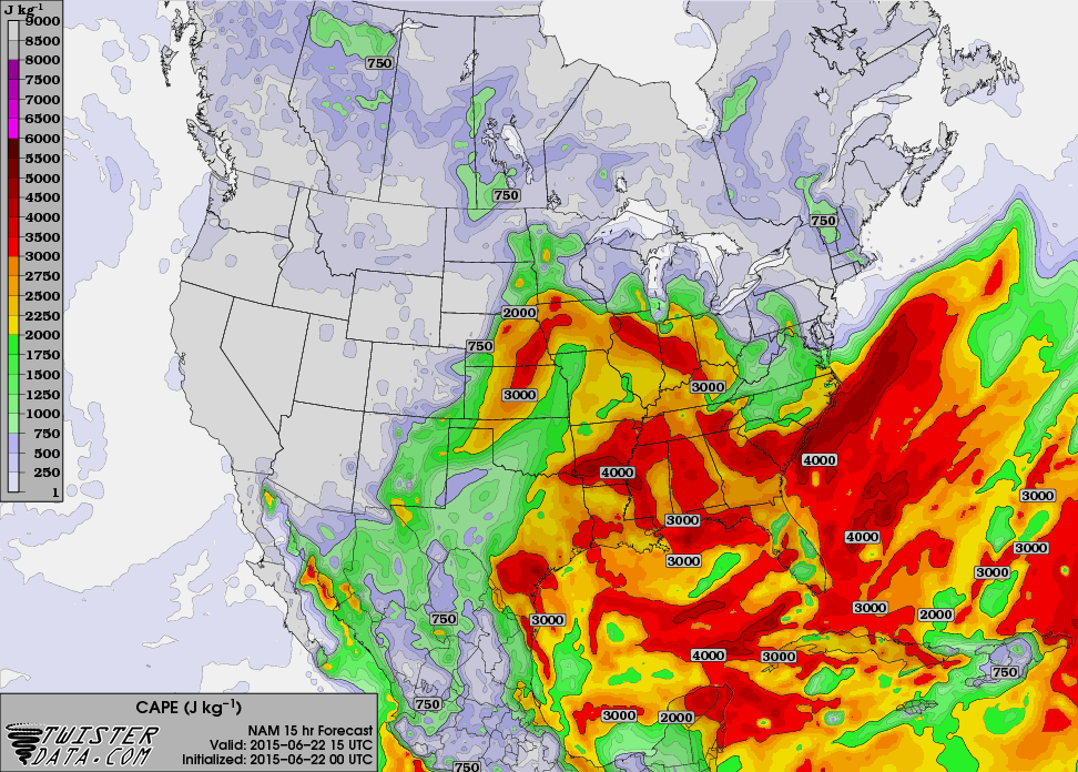
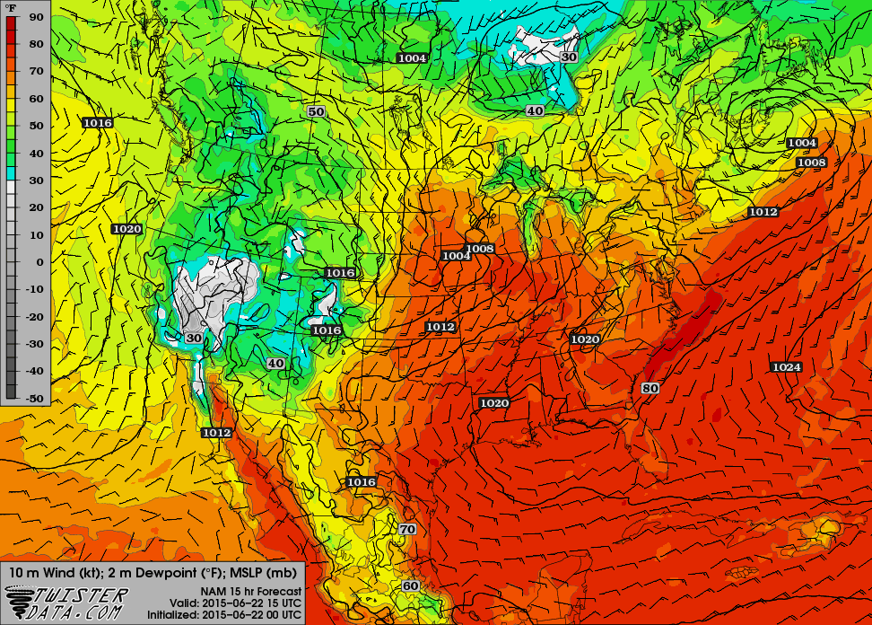
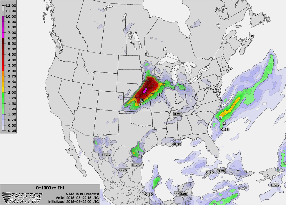
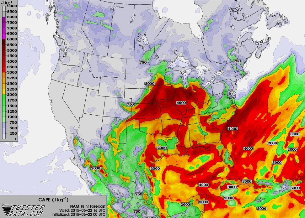
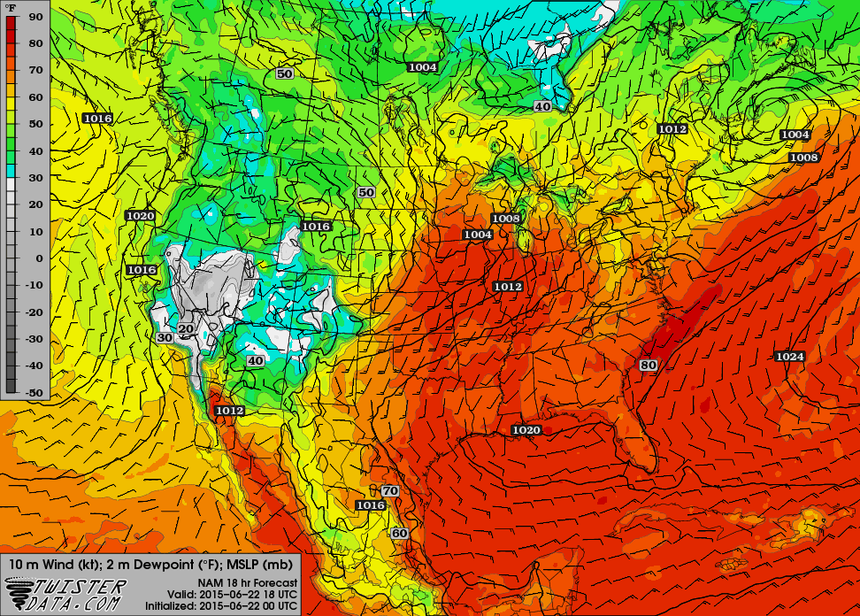
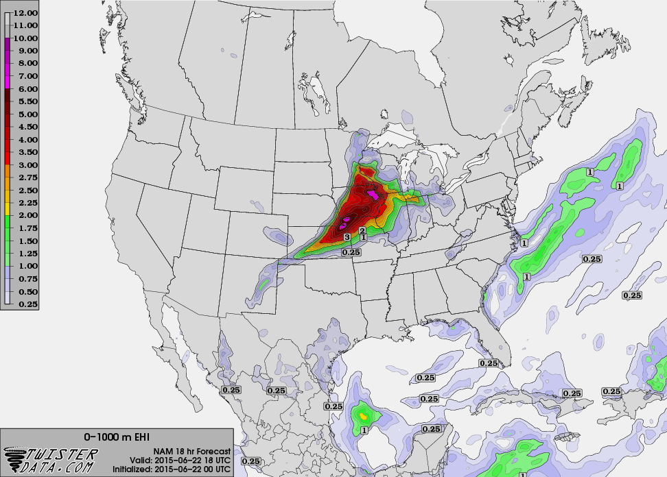
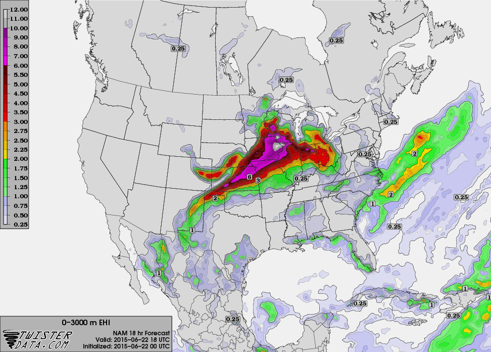
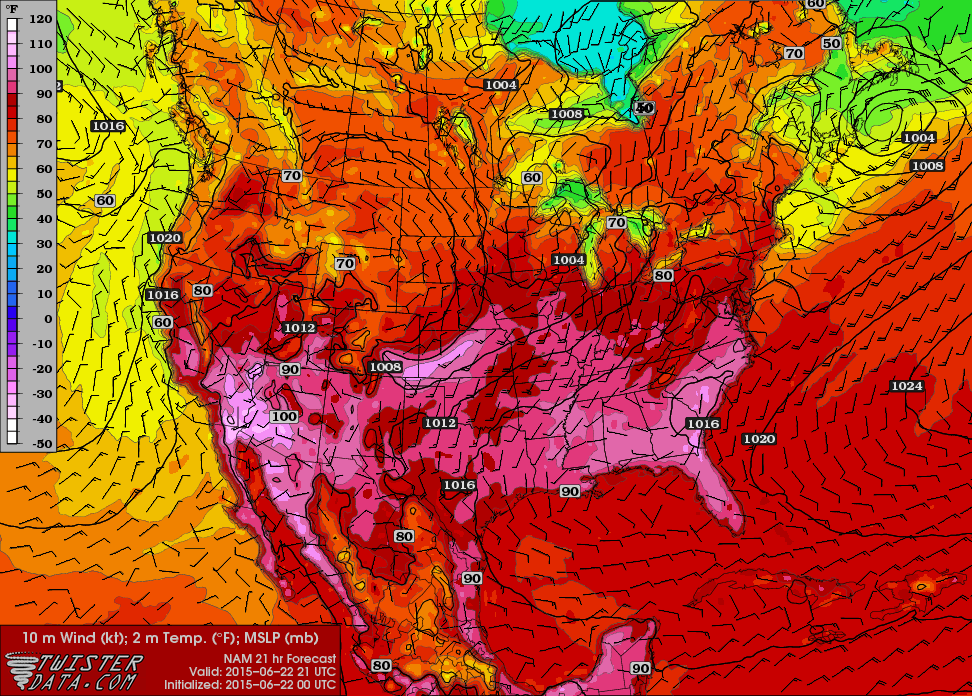
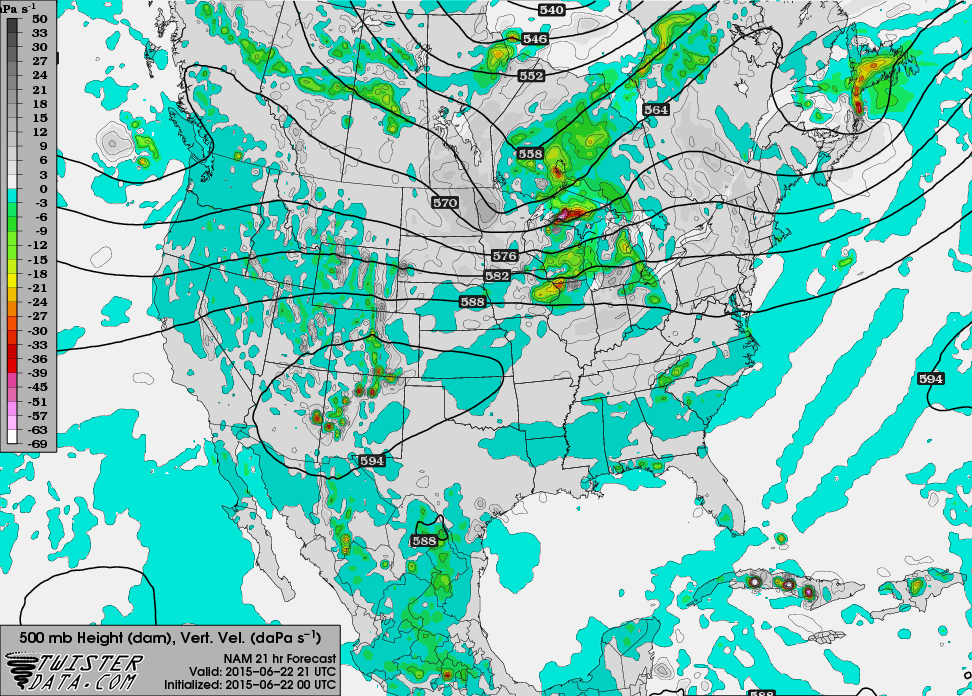
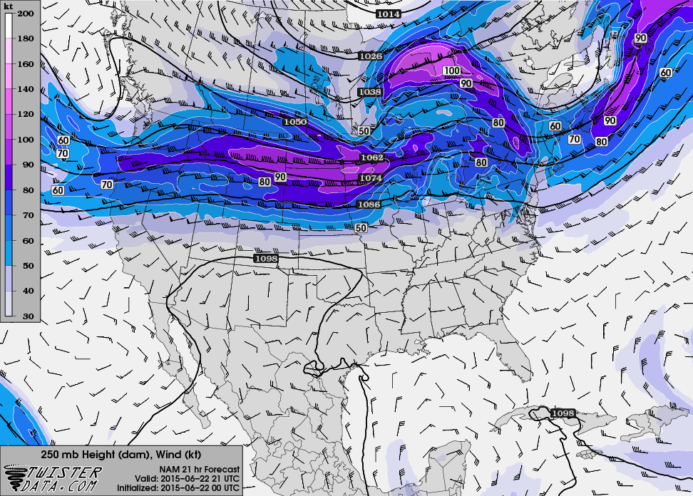
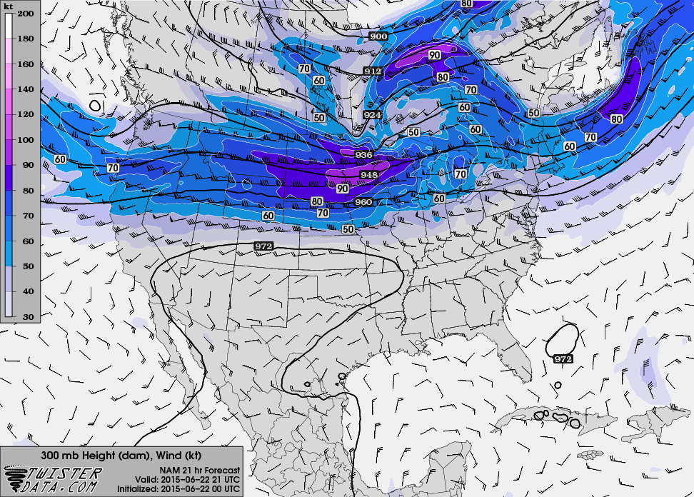
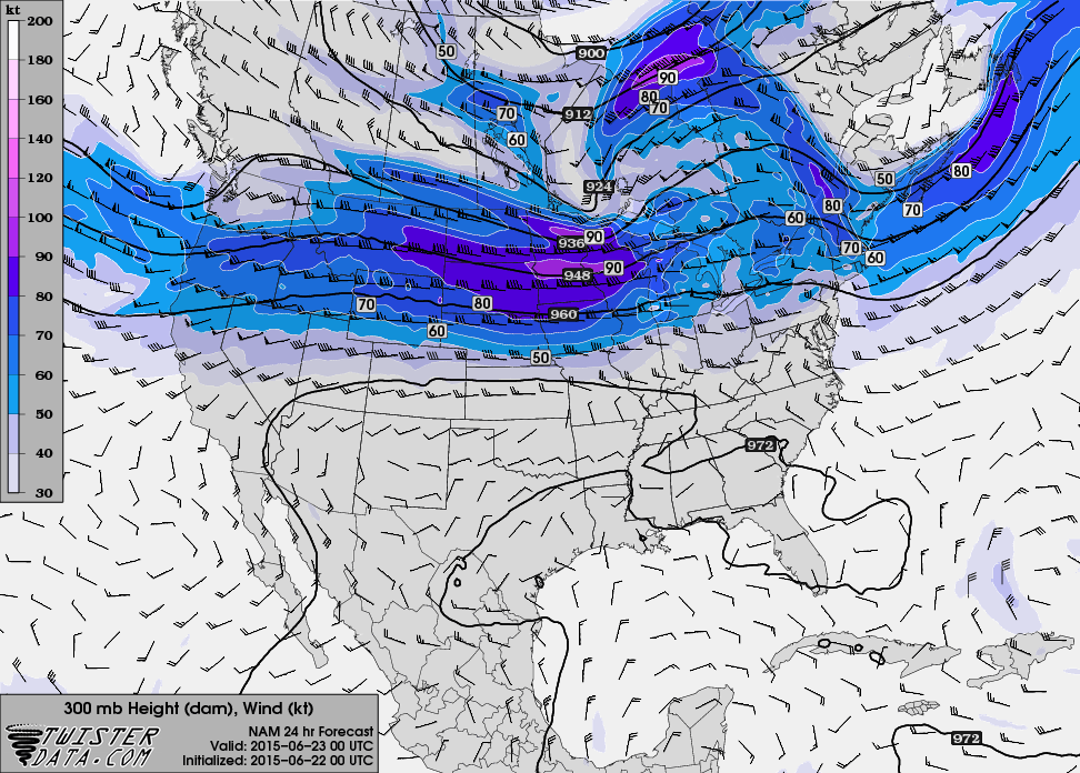
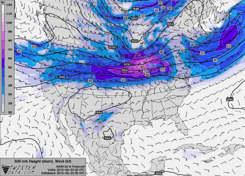
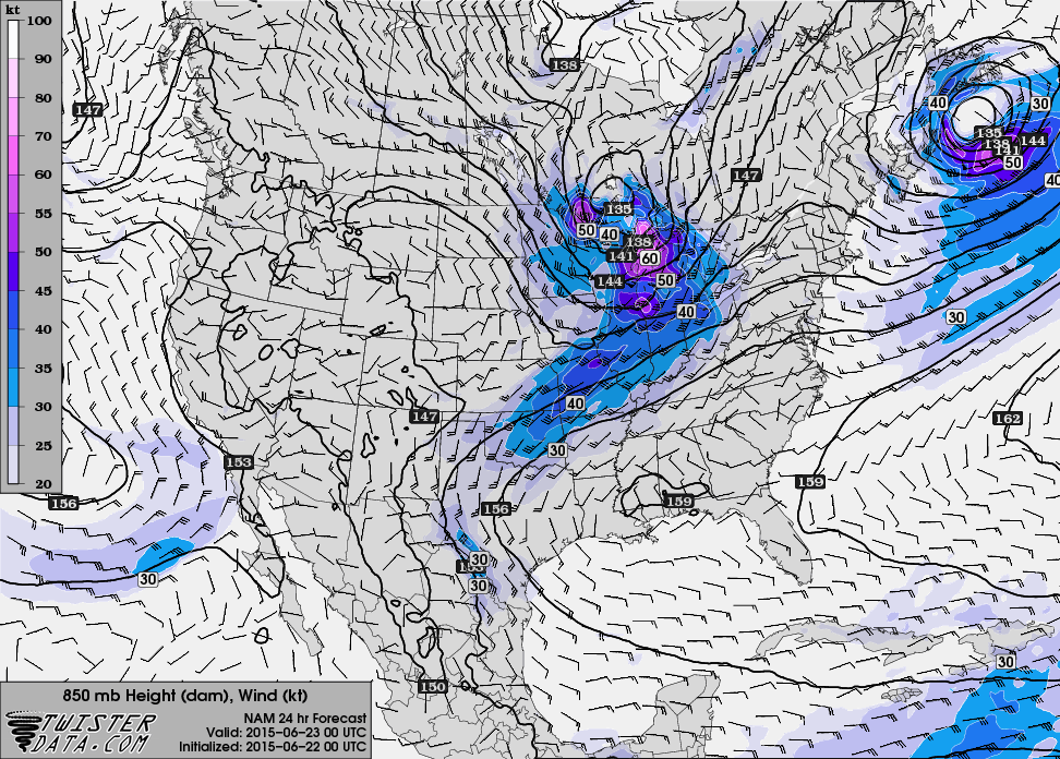
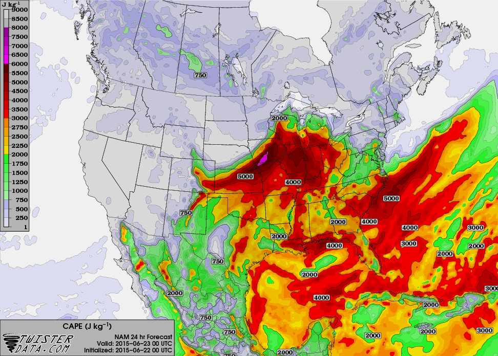
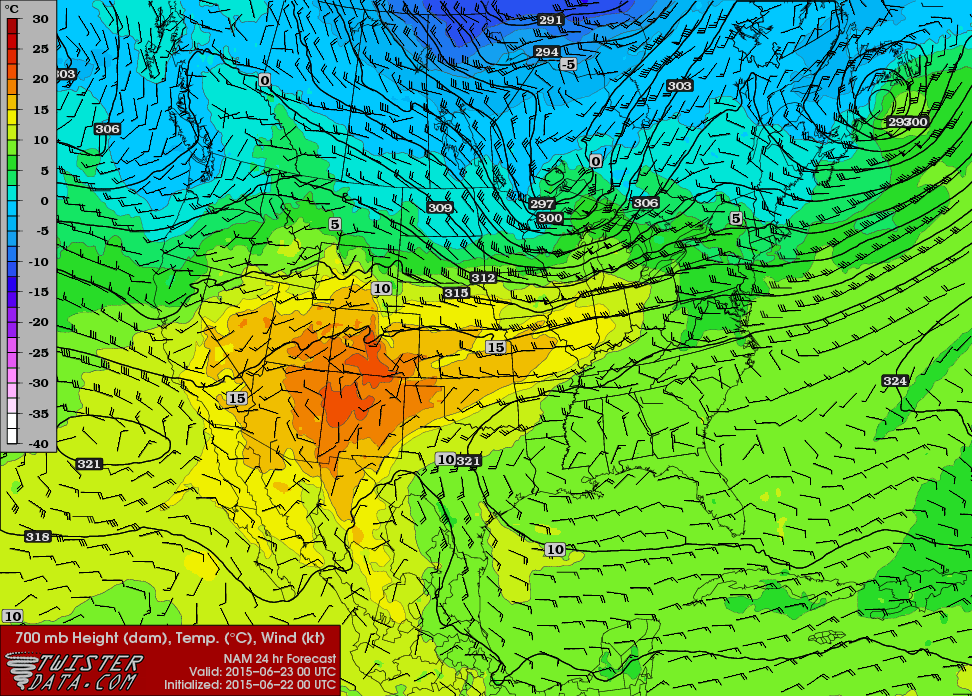
00Z NAM
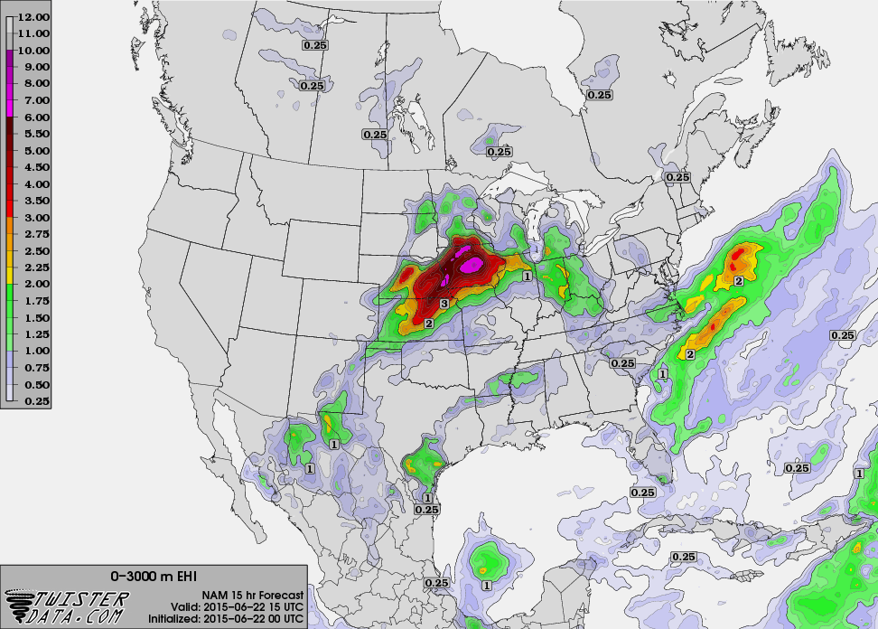
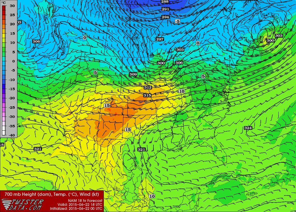
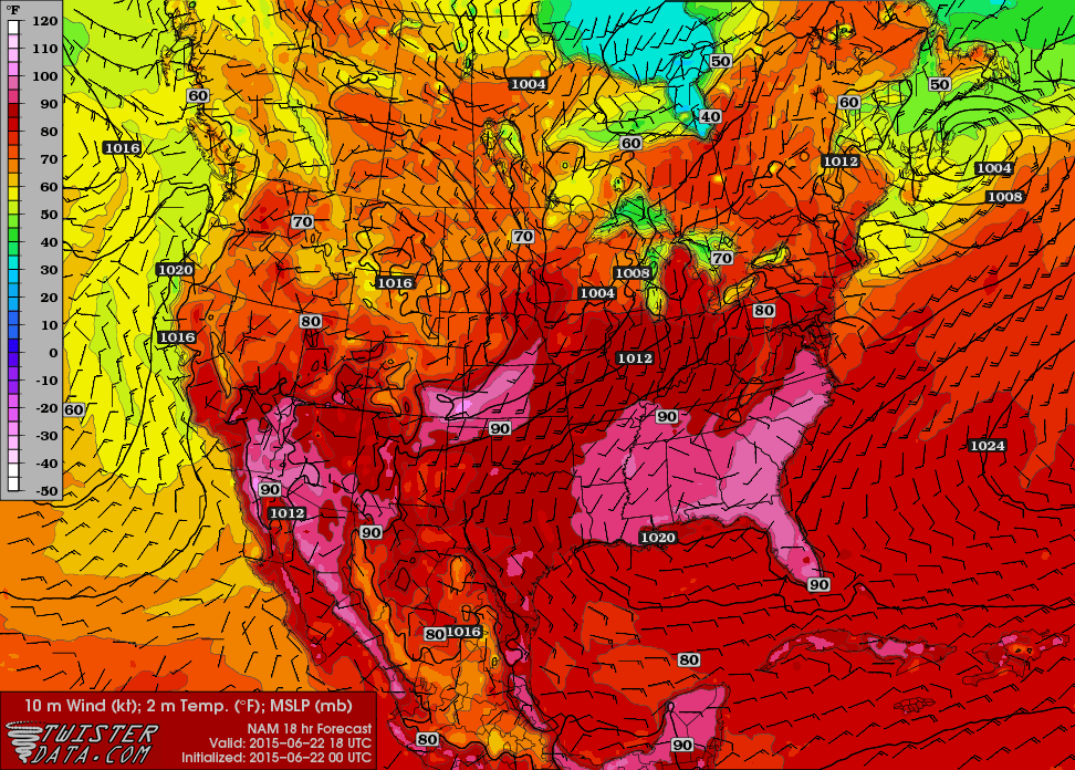
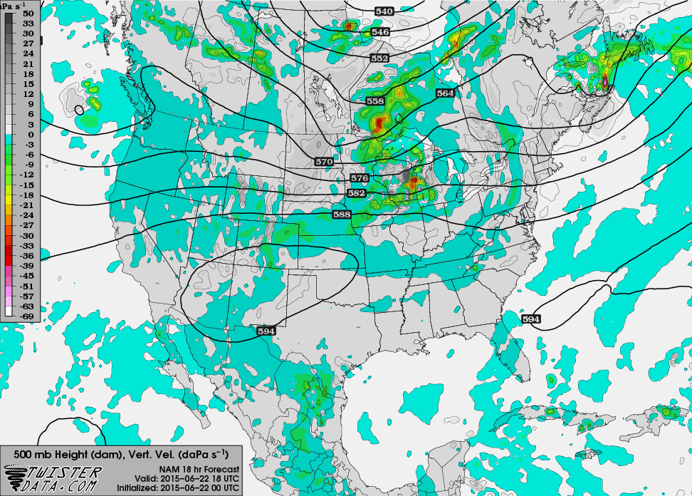
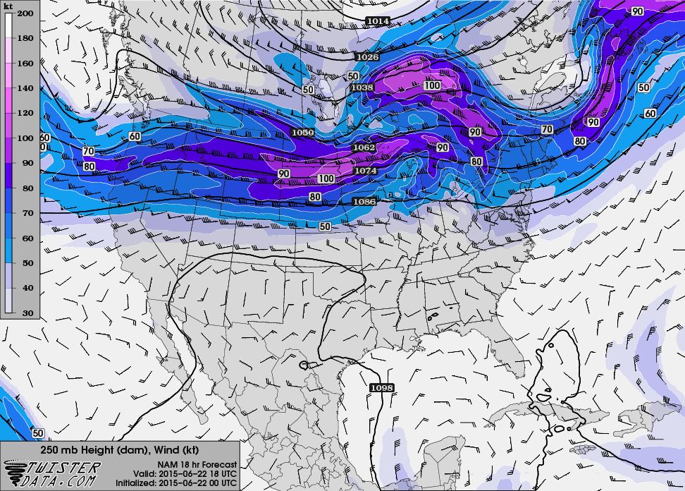
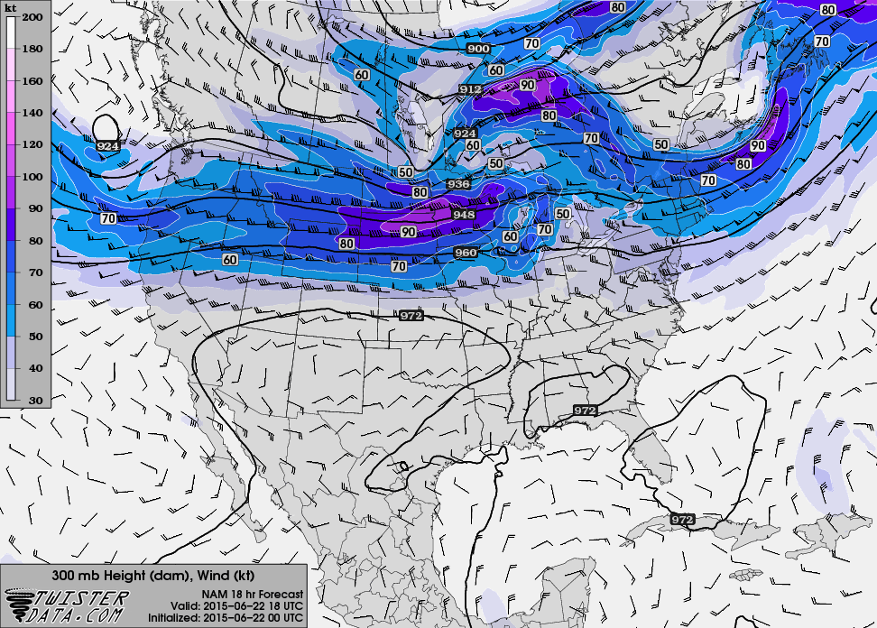
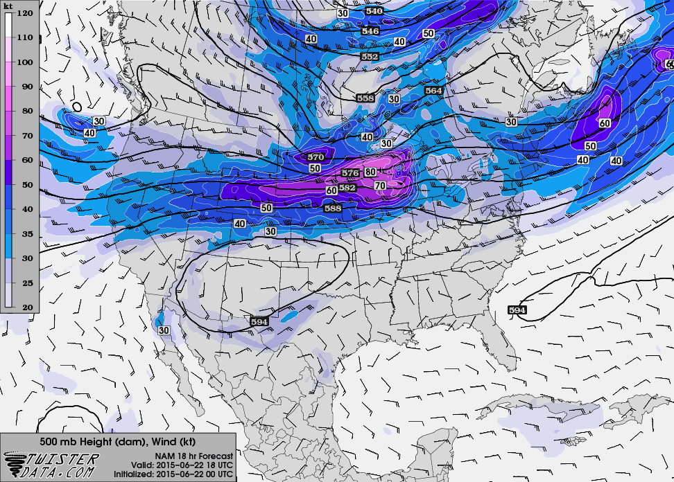
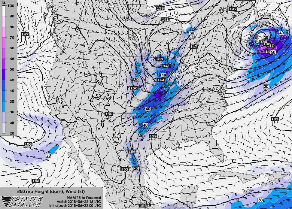
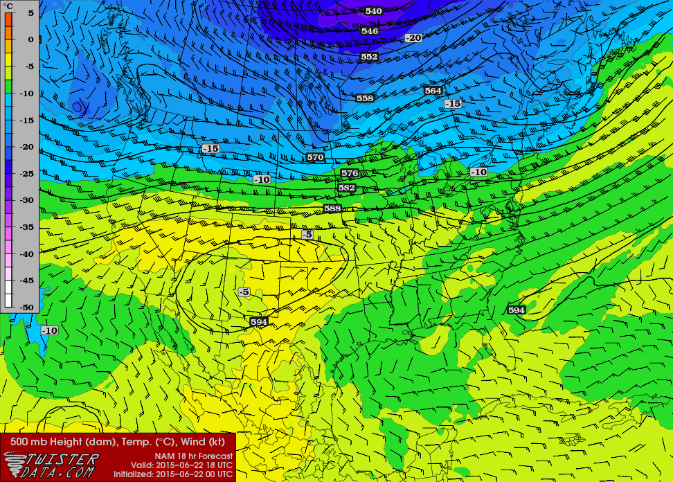
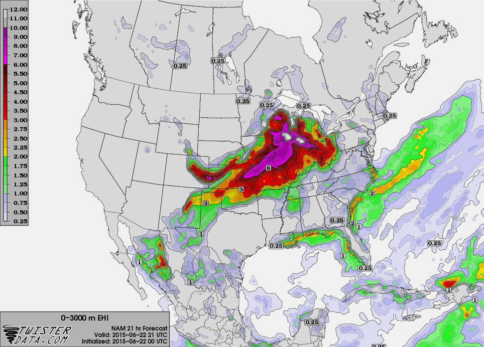
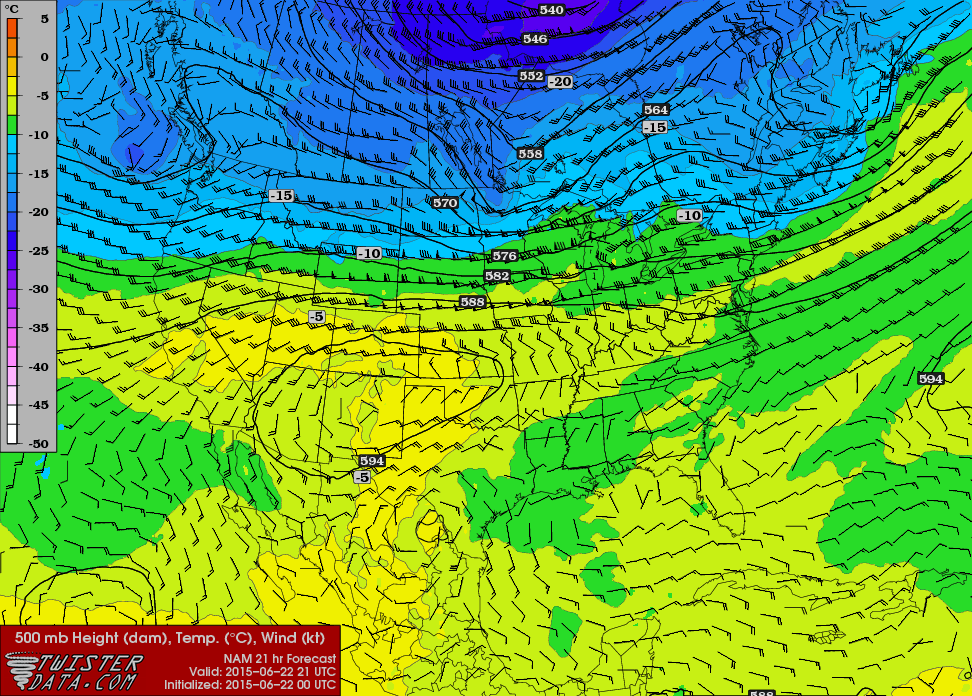
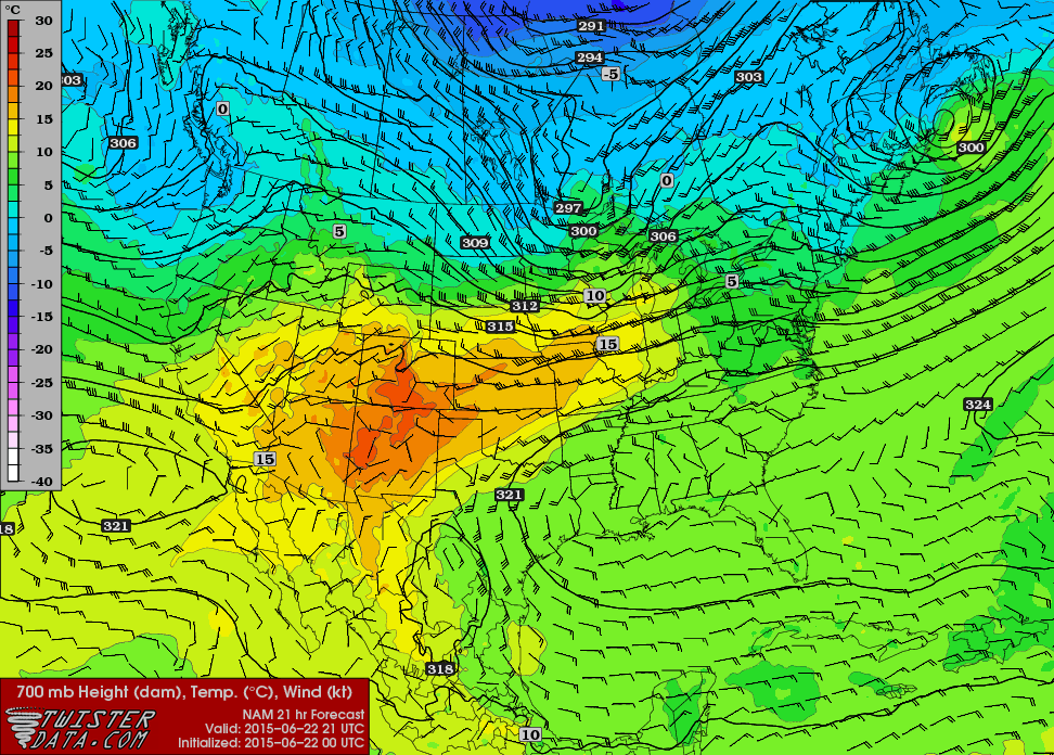
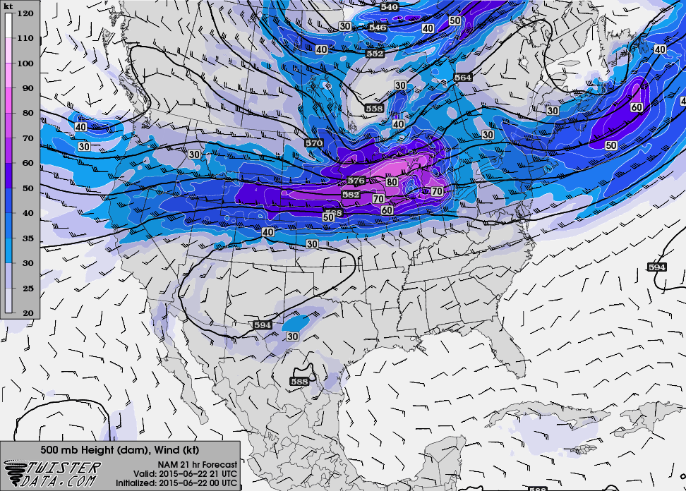
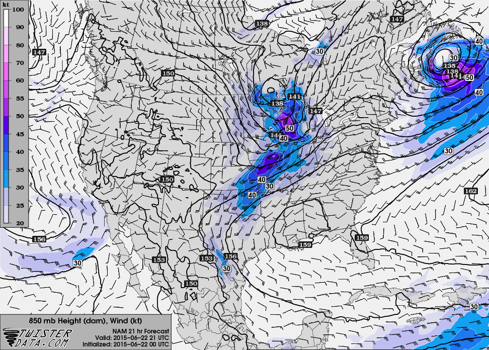
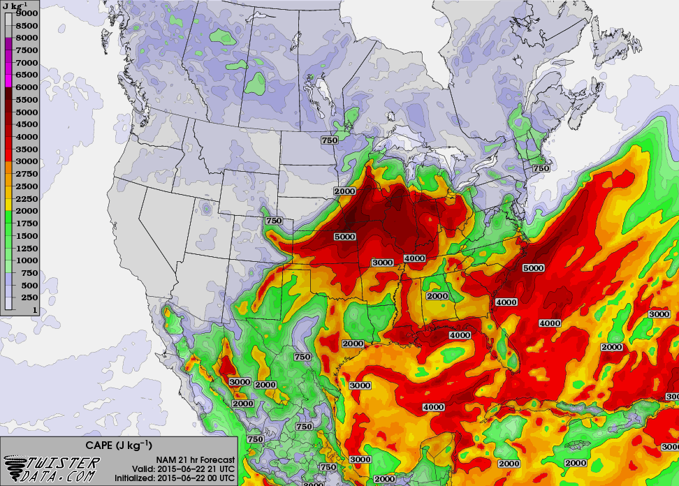
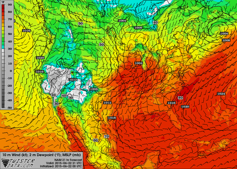
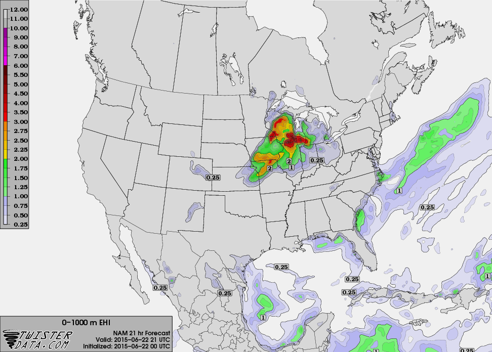
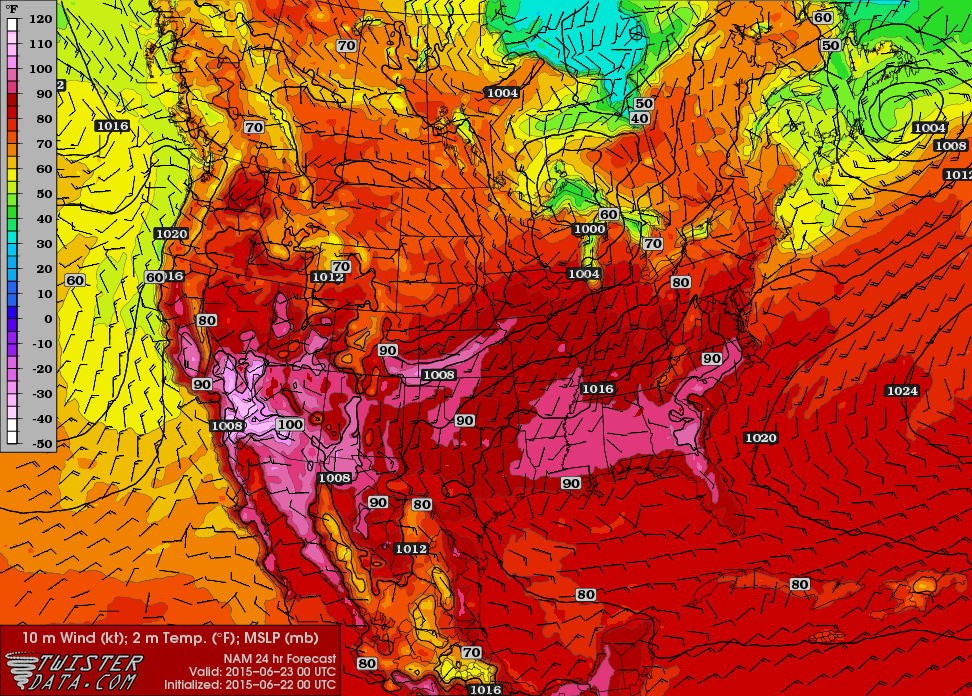
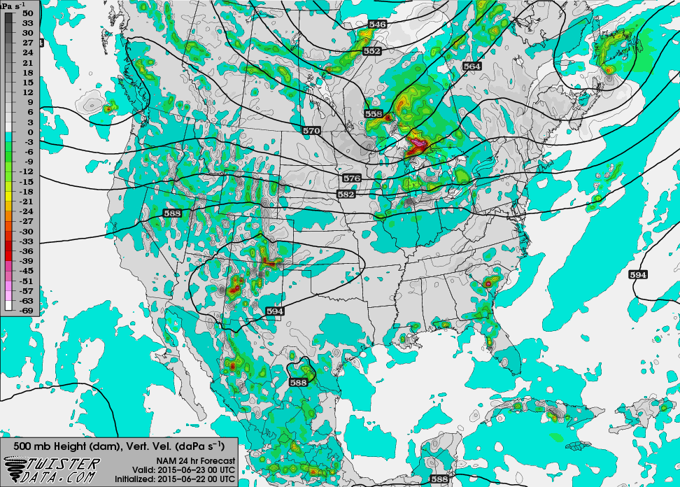
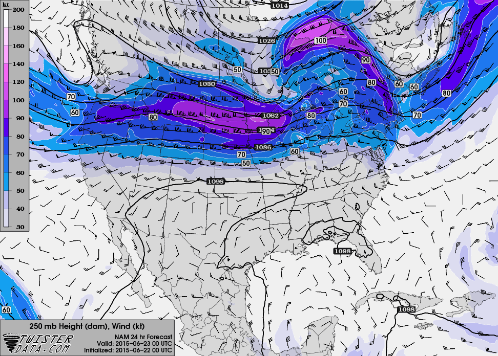
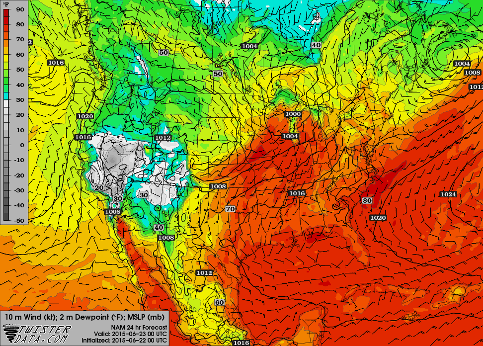
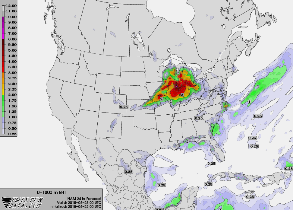
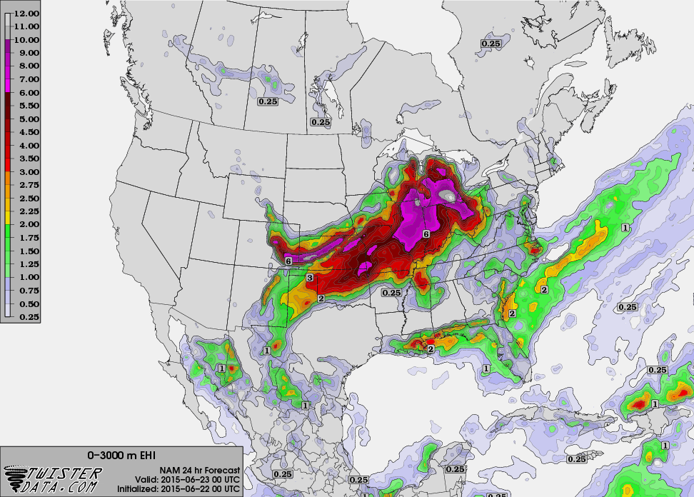
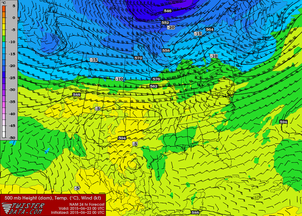
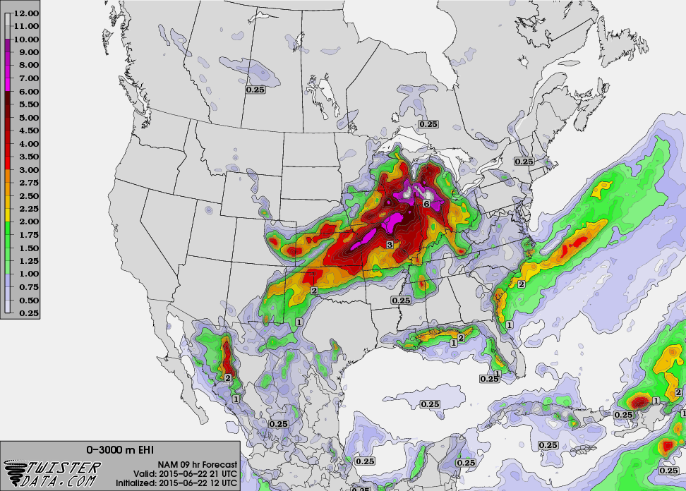
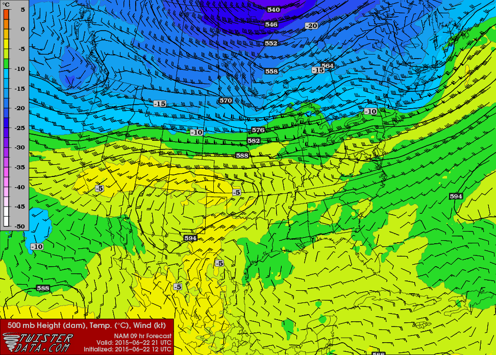
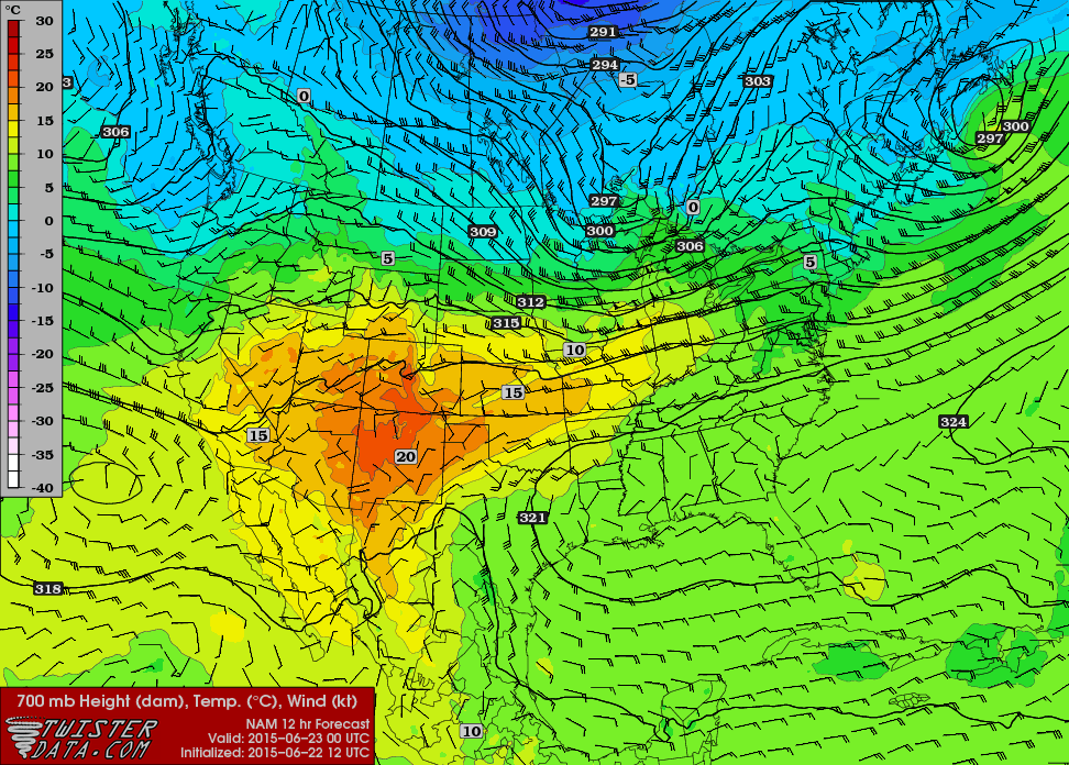
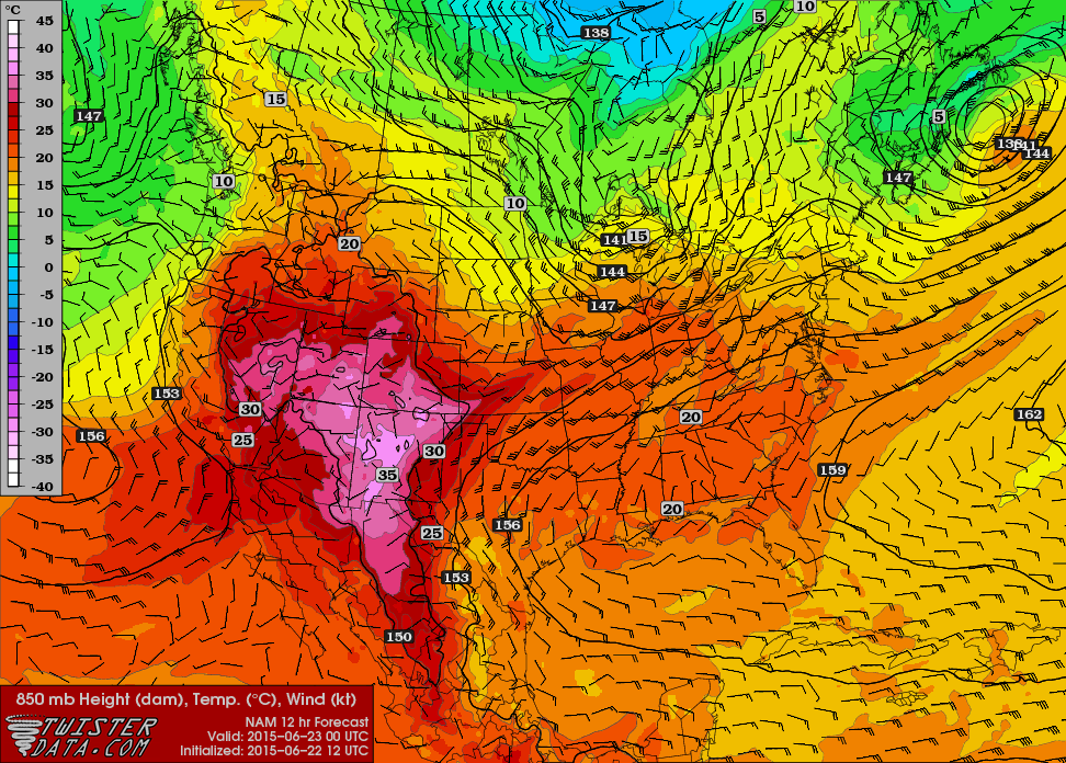
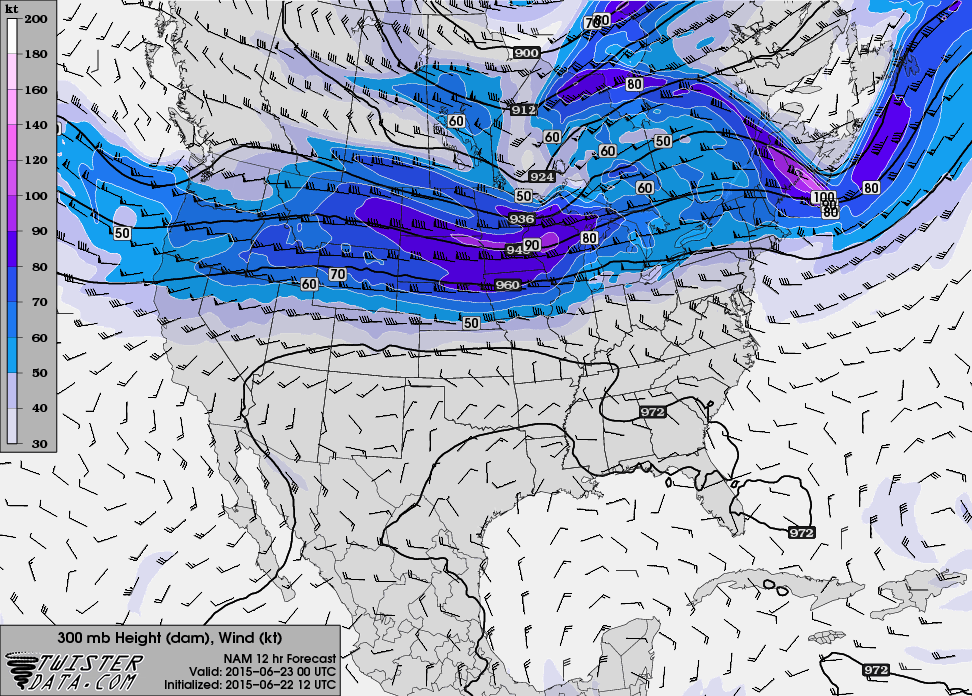
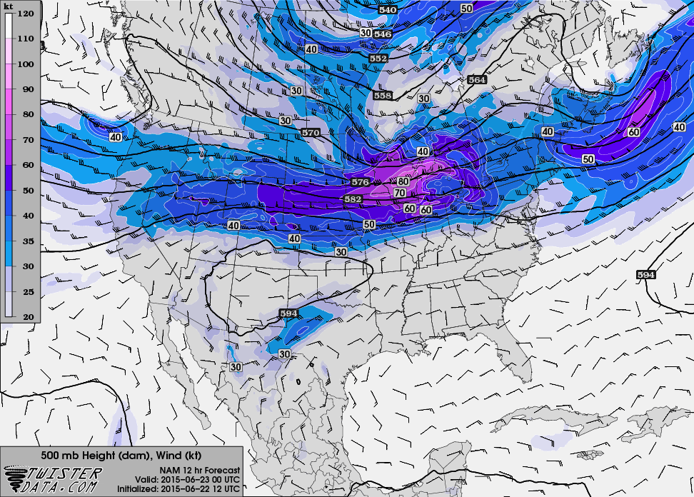
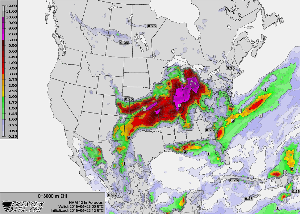
I perused the evening models including the 00Z NAM. I was still expecting a big time outbreak in Michigan, but a lot of questions remained.
Waking up in Michigan
As I woke up, I looked out the window and saw sunshine. My first thoughts were that we’d have destabilization during the day and this would be a crazy day. That was not to be. A morning bow echo was still in Iowa and it had tornado warnings. Even if the bow echo died, the blow off from the anvil was approaching west Michigan and would keep Michigan from destabilization.
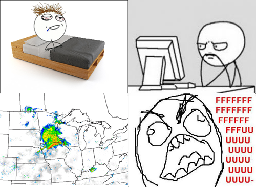
My backup plan of catching a flight to Oklahoma in the morning had passed. The best shot then would be to get along the outflow boundary in Illinois/Iowa/Wisconsin.
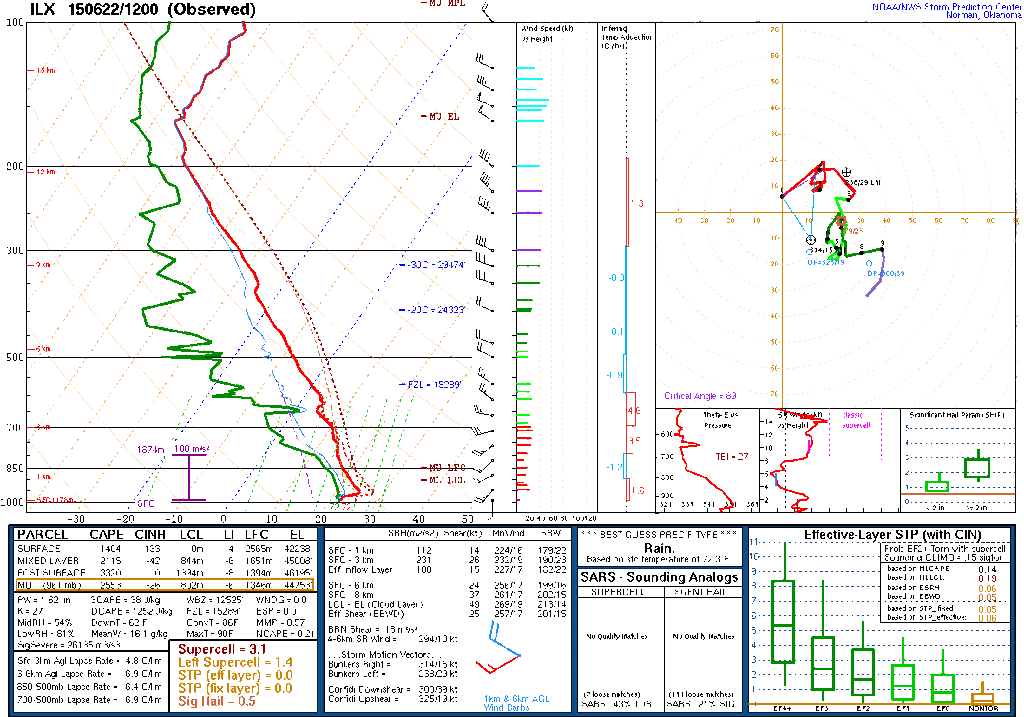
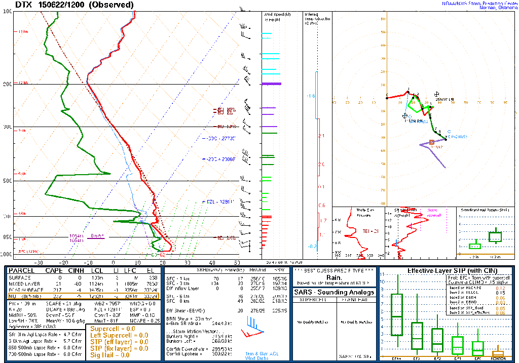
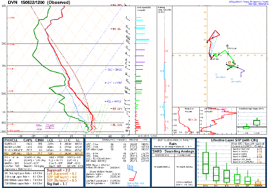
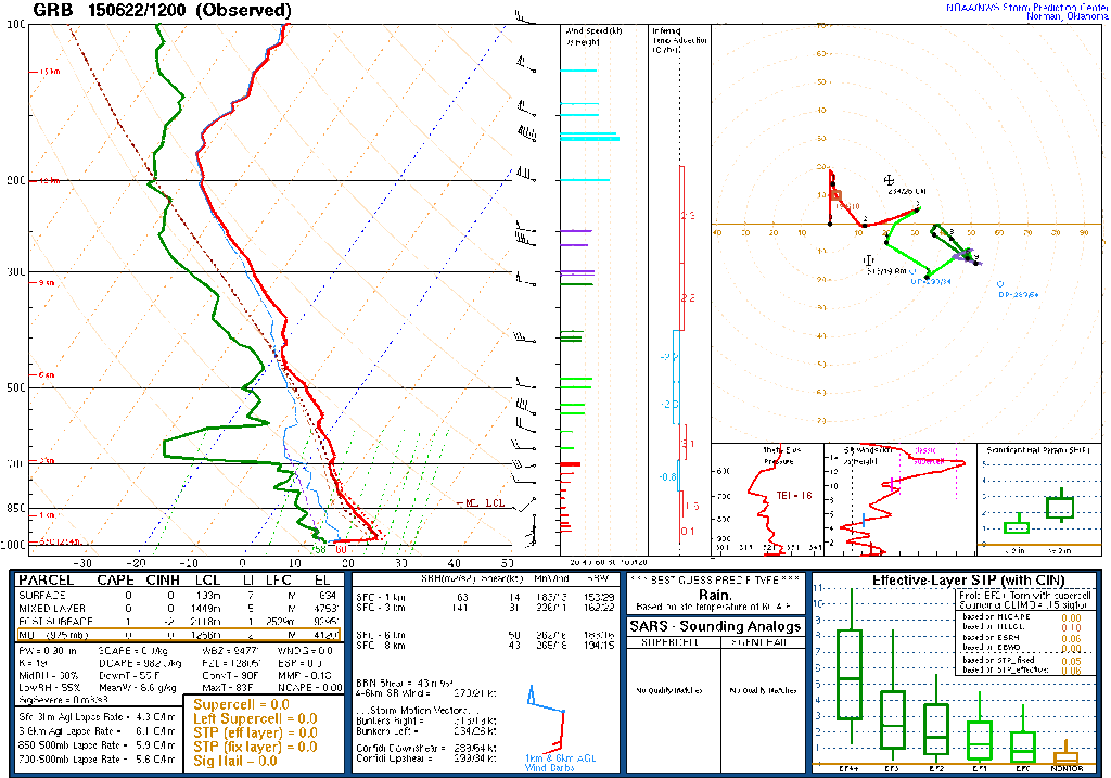
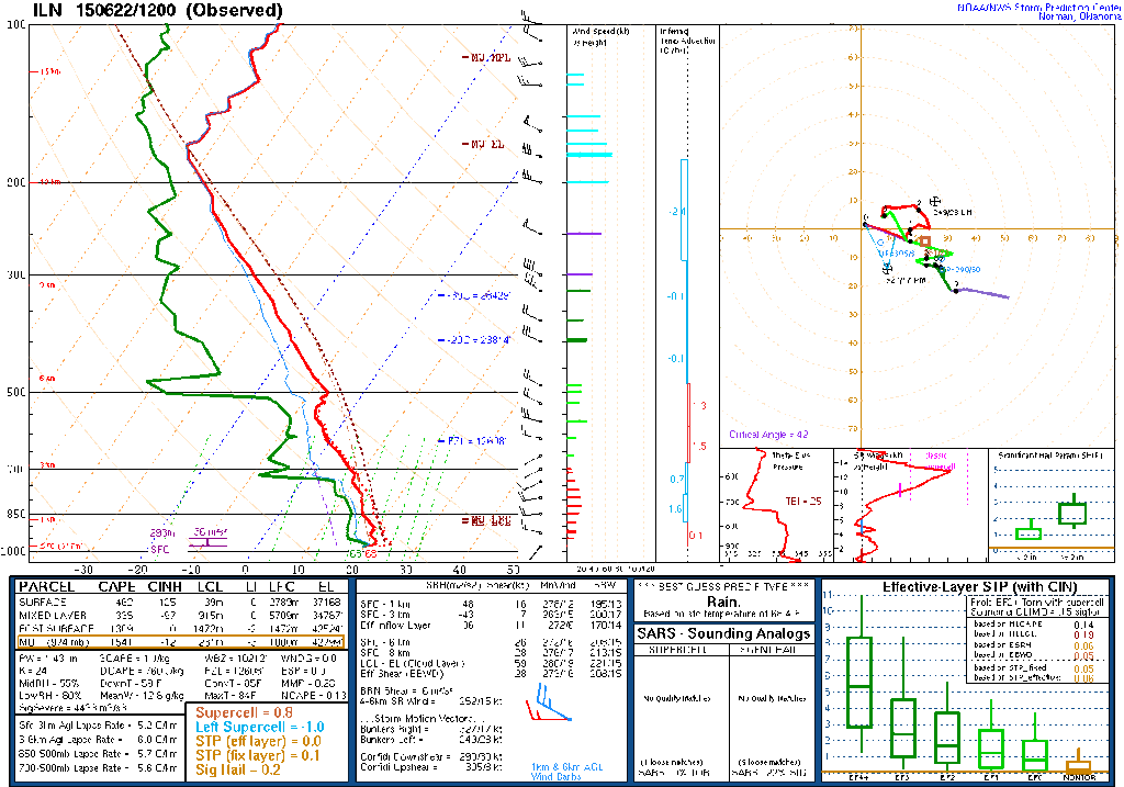
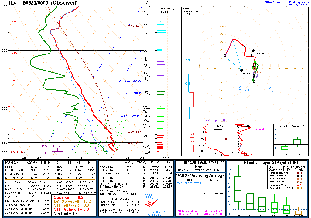
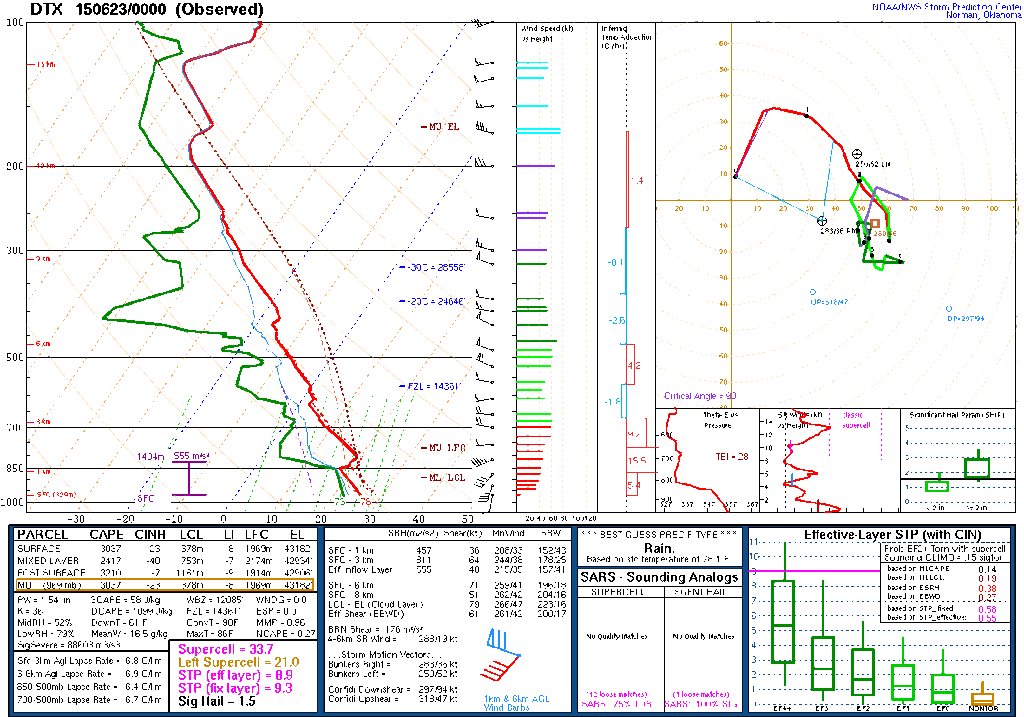
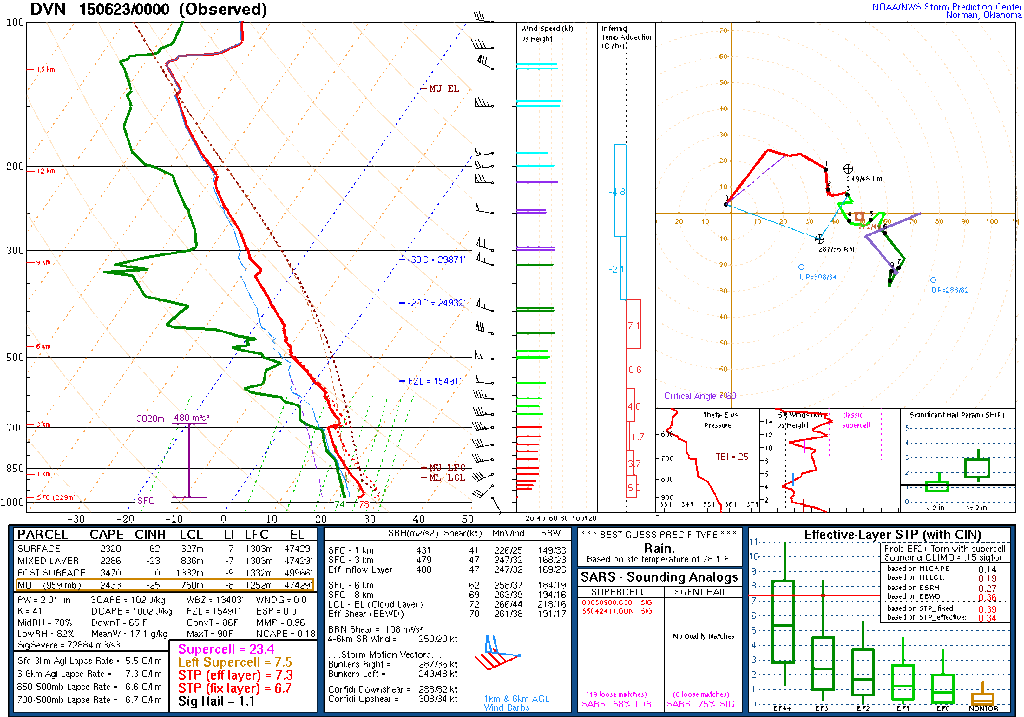
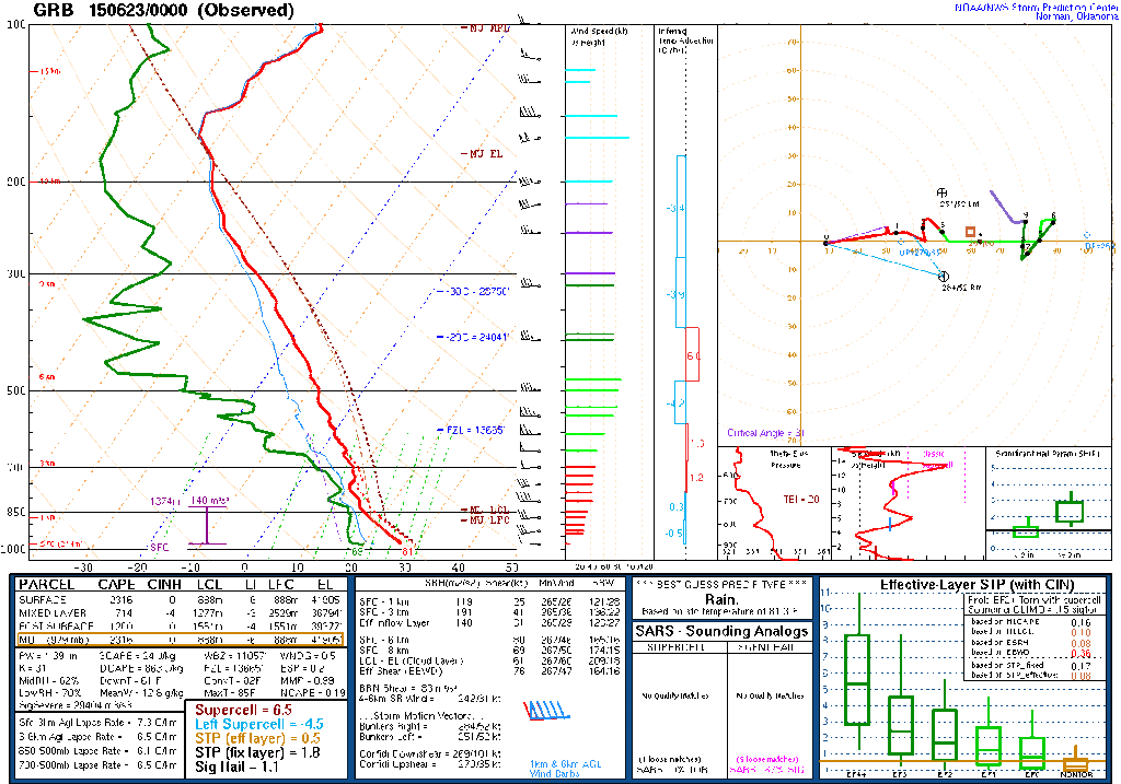
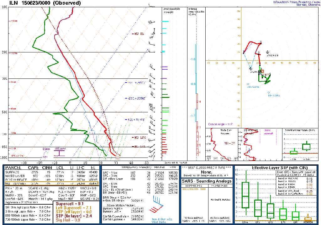
12Z Observed Soundings
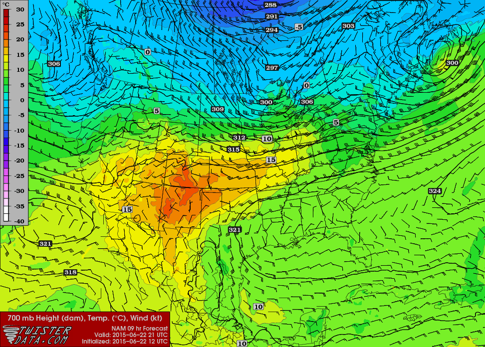
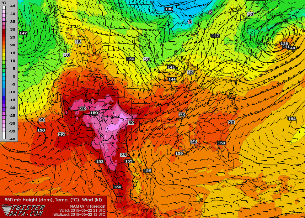
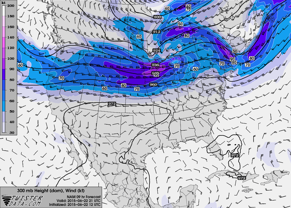
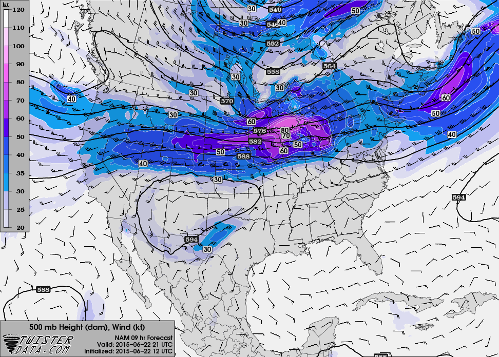
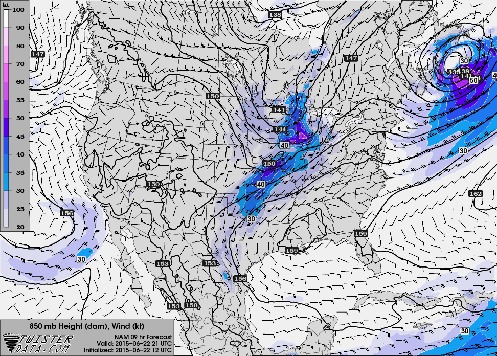
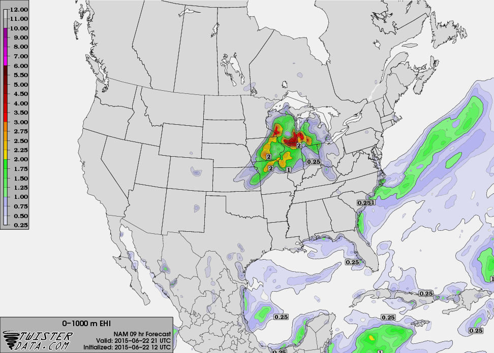
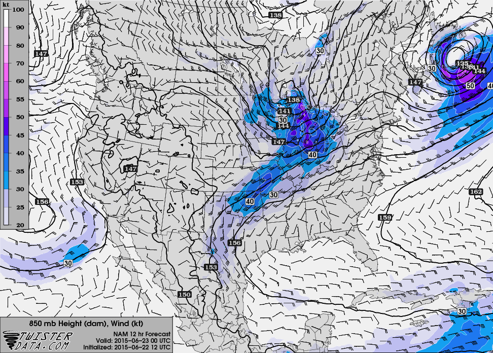
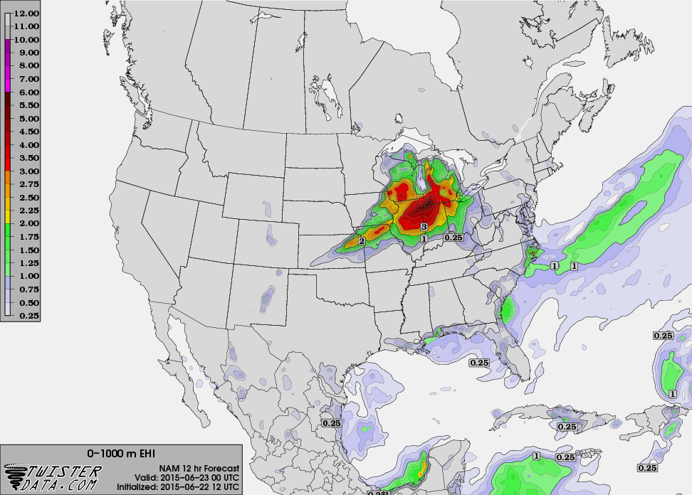
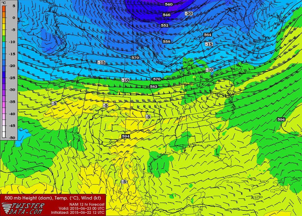
Checking the 12Z NAM
Heading to Illinois
As the bow echo continued east, Bart and I headed back west on I-94. We made it to Chesterton by lunch time. I hesitated at first on continuing on, but eventually decided to continue west. The warm front in Michigan had a couple of storms on it, but ultimately it was decided to pass on those. We headed west through Chicago and along I-80 meeting up with Adam in the small town of Annawan in Western Illinois.
Convective Initiation
Convection was firing near Des Moines, and some chasers bit on it. I didn’t want to go to Iowa, as memories of June 5, 2010 came to mind. Better upper air support was seemingly further east. Nonetheless, that storm became tornado warned as we sat and waited.
A junky storm fired just east of us, so we headed to Princeton. The storm seemed to be battling a cap, so we played video poker at a gas station to wait longer.
Severe Warned HP Supercell
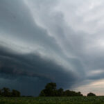
Eventually we continued, heading to Rock Falls and then northwest to Morrison. The storm looked alright on radar, but was extremely HP. I could see structure as we were west of Sterling, but the radar presentation was not that great.

Luckily we stuck with this storm as it became severe warned. Rotation from Davenport radar was increasing, and the storm seemed to have healthy inflow. I was convinced that we were going to have a tornado west of Rock Falls. The storm never seemed to be able to get it done, struggling somewhat as it went through Rock Falls. This meant we would have to get through town and across the river.
Harmon Illinois Tornado
After we got across the river and through town, we continued east on US30 until we got ahead of the precipitation. This gave us a little better perspective on the storm, which seemed ready to produce a tornado.
As we continued south and east, we observed a tornado and let it cross the road right next to us. We continued south on a road until we got stopped by downed power lines and had to turn around.
Extremely High Precipitation
Visibility and road conditions had significantly deteriorated by this point. This was one of the wettest HP Supercells I had ever chased. We couldn’t see more than a few feet in front of us and had trouble staying on the roads.
As we continued east to Amboy, we encountered some tree damage. From there, we headed southeast on US52 towards Mendota as the storm swallowed us up. The circulation was close to us, and we had to be extremely observant about wind direction. I never did see a damagepath that crossed the road, but found a damaged barn on the right side of the road. It was then I realized the tornado was paralleling us.
Mendota and calling the chase
We came into the town of Mendota and it had been apparently hit by a tornado. Bart and I decided it was probably as good of a time as any to call the chase as it was getting dark and with the storms HP nature we weren’t likely to see much else. So, we bailed south and east to I-39 and headed south towards home.
I drove to just past St Louis and then Bart took over while I slept the rest of the night, arriving back in Norman around 8am.
