Storm Chase Details
Miles Logged: 387
States Chased: OK
Highest Wind Encountered: 65 MPH
Severe Risks: SPC Outlooks
Severe Reports: Storm Reports
This was a moderate risk day across western and central Oklahoma with 10% probabilities for tornadoes. We had extreme instability with high dewpoints in the low to mid 70s in place across Oklahoma.
Departure
I initially departed westbound on I-40 out of Oklahoma City. I had considered going to the northwest at the Cherokee trading post exit, but kept going west. I stopped for awhile near Weatherford before heading west on I-40 to Clinton.
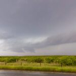
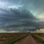
At Clinton, I dropped south on 183 to get on a storm near Hobart. It was pretty high based at the time and dropping some large hail. With storm motions, I would spend the next hour or so zig-zagging around south central Oklahoma, finding myself on the storm as it crossed I-44 near Walters.
HP Beast
As I continued east along 53, I could see good inflow into the storm. Radar definitely indicated strong rotation just to my west and south as I sat near Loco. I dropped south on highway 89 a couple of miles before bailing east towards Healdton. Reed recorded some good footage of a tornado right along 89 just a minute or so after I bailed south.
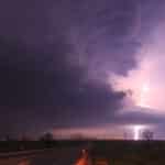
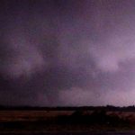
With the HP nature of this storm, I would never get a good look at the Loco Oklahoma Tornado. I’d continue east with the storm as the sunset, eventually heading north on I-35 when I reached Ardmore.
Radar (SRV) Loop

